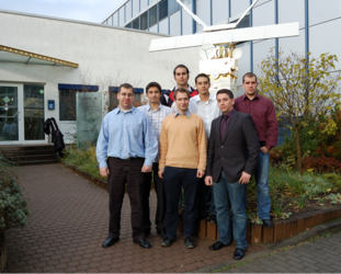
Incubation project G-WaLe at cesah
Etamax space GmbH has developed 'G-WaLe,' an innovative mobile flood monitoring system that uses satellite navigation data to measure the water levels of rivers, enabling authorities to react quickly and thus reduce damage.
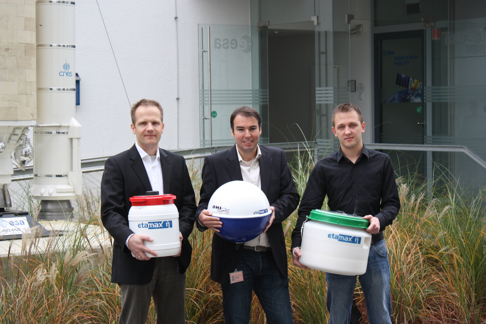
G-WaLe is the first mobile water measurement system for rivers that makes use of Global Navigation Satellite System (GNSS) technologies to report the water level of an endangered river zone in near-real time.
A set of G-WaLe floaters can be anchored in a river to provide positioning measurements, which are then sent to a user data centre and correlated with a fixed reference station. The vertical position of the floater on the water surface provides information on the water's actual level. The collected data can be used to better calibrate river models for flood protection and to support emergency response teams in the event of a crisis.
The system uses data forwarding via GSM mobile phone networks or (in the future) satellite communication. It is easily transportable and can be quickly dispatched by ground or air transport to an endangered area.
Contact
Pablo Beltrami
G-WaLe Project Manager
Tel: +49-6151-667 3630