Incubation project Real-MIT at cesah
ANLU Navigation GmbH offers a technology solution for highly specialised applications of satellite navigation data, providing increased functionality, accuracy, availability and reliability. In the frame of its incubation project at cesah, Real-MIT (Real time Multipath Identification Technology), ANLU has developed two high-tech products targeted at a variety of industrial customers.
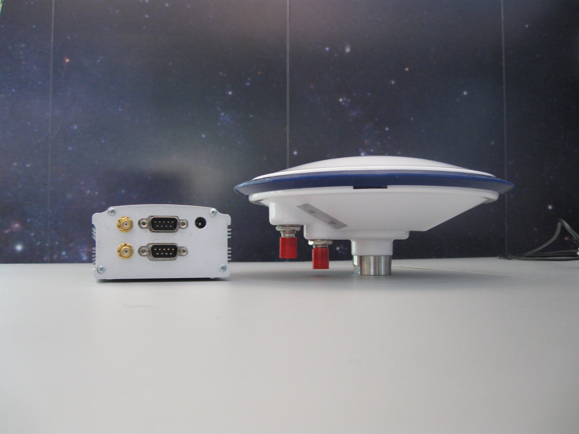
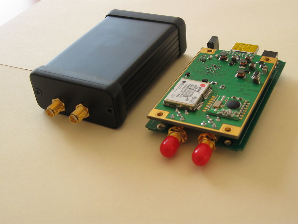
These products, the 'RTK Survey System' and 'GPS Compass', are based on the principle of computing the three-dimensional relative position between two antennae.
The RTK Survey System allows precise positioning relative to a reference point with known coordinates; GPS Compass allows direct calculation, from the position difference, of the absolute orientation angles, e.g. azimuth and tilt. Previously, for vehicles, for example, such calculations (without satellite data) were only possible using complex technological devices, such as gyroscopes.
The ANLU Navigation products make use of a special software-based solution and can be used without highly sophisticated hardware, allowing much lower production costs compared to competitive products. This enables usage in applications where existing solutions are not economically viable.
In Chinese, the native language of the founder of ANLU Navigation GmbH, An Lu means 'Safety on your Way'.
Contact
Dipl.- Ing. Yunfei Hoffmeister-Han
Founder of ANLU Navigation GmbH
Tel: +49-5302-804 913