New satellite techniques for looking at climate change
More than 200 scientists from around the world have attended the weeklong POLinSAR 2009 workshop hosted at ESRIN, ESA’s Earth Observation centre in Frascati, Italy. Discussions among the participants include new techniques for providing vital information on our planet that could help to combat global warming through carbon accounting, wetland preservation and improve climate models.
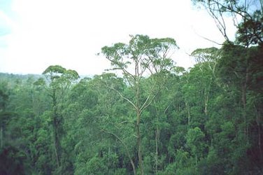
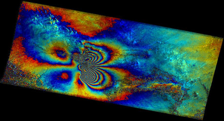
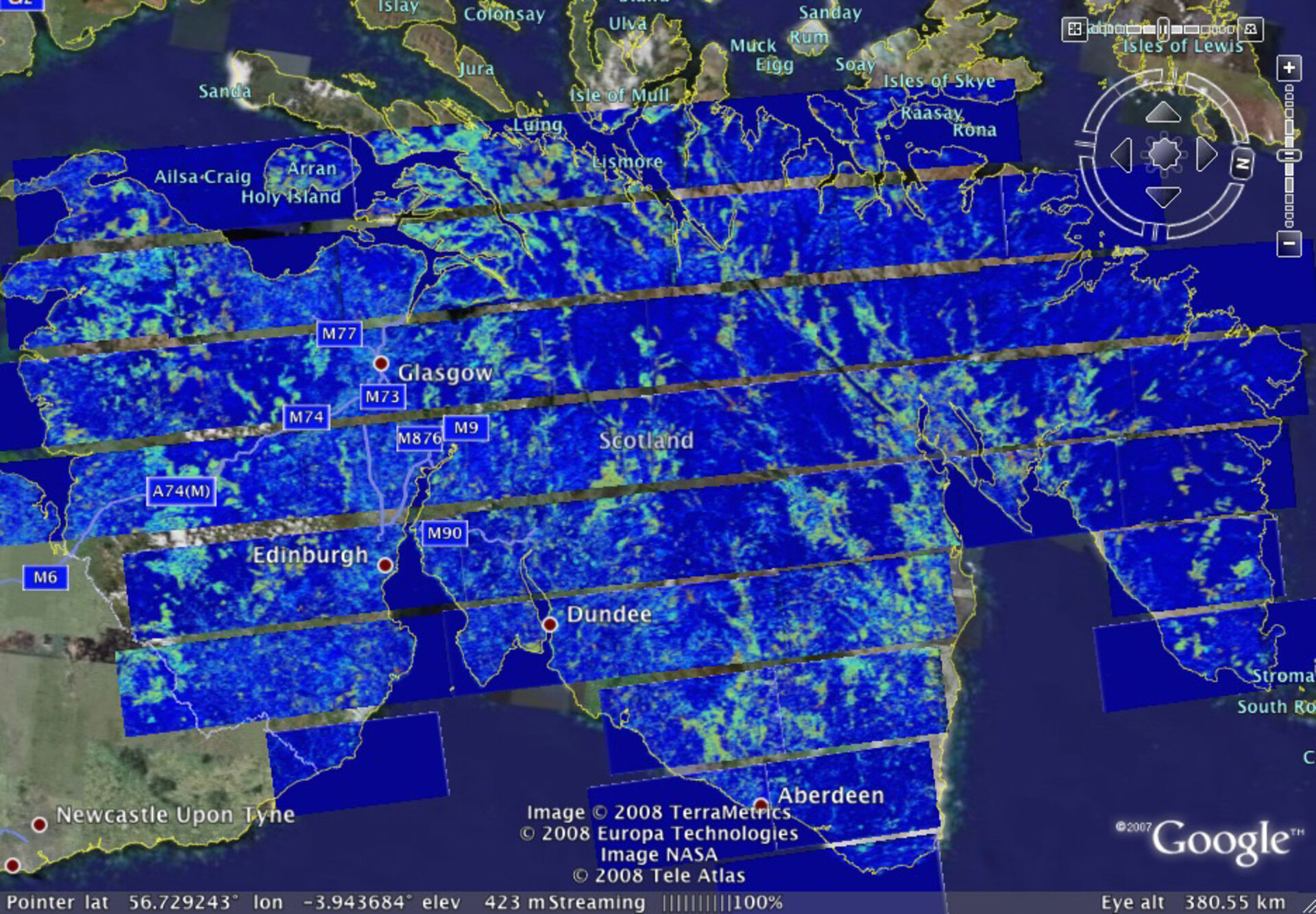
Using the novel polarimetric mode of the PALSAR synthetic aperture radar (SAR) aboard Japan’s ALOS satellite, Dr Shane Cloude of the UK-based AEL Consultants has mapped the biomass of Scotland’s forests. This marks the first time biomass data has been extracted over a large area using this sensor mode.
Forests are one of the most significant onshore stores of carbon, absorbing carbon dioxide that would otherwise increase global warming. Mapping biomass – a quantitative estimate of the organic material in a forest – is important because it allows scientists to determine the forest’s capacity to store carbon.
This information will assist politicians and non-governmental organisations in planning strategies for combating global warming through international monitoring and carbon sequestering.

"Carbon trading is upon us, which means there is going to be a value to carbon and countries will be able to offset their emissions against carbon which is stored in their forests, for example," Cloude explained. "There is going to be a need for a third party to assess or validate the estimates given by countries as well to monitor any changes in them such as deforestation or degradation."
"Since one of the important variables for predicting climate change is to know what the balance between carbon sinks and sources will be, this kind of information can be fed directly into models to help improve predictions of climate change," he said.
Cloude used the polarimetric mode with ALOS radar data from April to June 2007 to produce the biomass map, which he will update this year. ESA is supporting ALOS as a 'Third Party Mission'. This means ESA uses its multi-mission European ground infrastructure and expertise to acquire, process and distribute data from the satellite to its wide scientific user community.
Cloude’s findings are now undergoing validation by being compared with data from Forest Research, Great Britain’s governmental department responsible for the protection and expansion of forests.
Another Earth Observation satellite in orbit equipped with the polarimetric mode is Canada’s Radarsat-2.
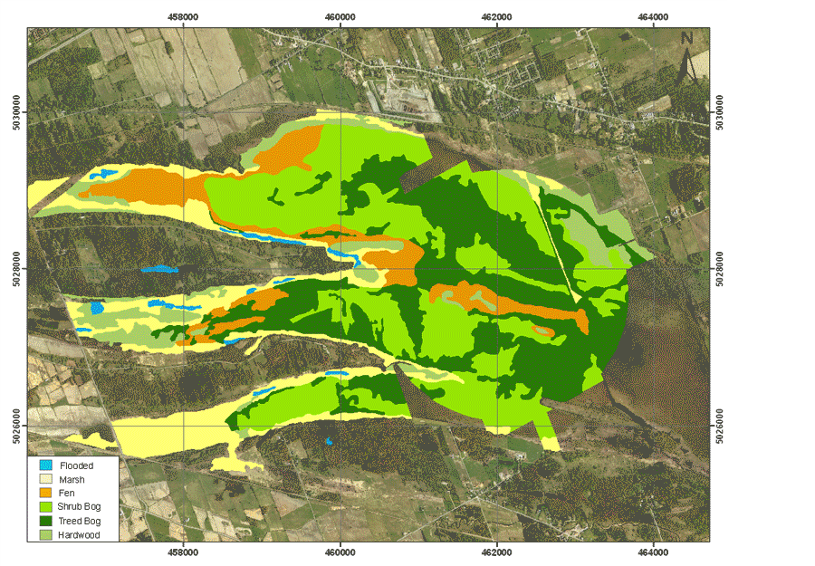
Dr Ridha Touzi, a Senior Research Scientist at the Canada Centre for Remote Sensing, is working in collaboration with Parks Canada to use the polarimetric mode aboard Radarsat-2 to map and monitor the wetlands in the Wapusk National Park.
Using the Convair 580 airborne SAR, he demonstrated that polarimetric data could distinguish fens from bogs in the Mer Bleu wetlands near Ottawa, Canada. Fens and bogs are two classes of wetlands, present in northern regions. The water level in fens is around 20 cm below the peat surface, while the water level in bogs is 45 cm below the peat surface.
It is well established that a lot of bogs in the Northern regions have reverted to fens because of global warming. Distinguishing this transformation is very important because the park’s bogs are a critical habitat for polar bears, with more than 1 500 living there.
Using the polarimetric technique with radar data, Touzi is able to detect the level of water, which is used to characterise the wetland’s type. With continued Radarsat-2 monitoring, it will be possible to detect changes that represent transformation and allow park officials to take action and minimise the threat.
Along with applications, scientists discussed the latest developments in SAR polarimetry and polarimetric interferometry and the need for the next generation of radar satellites to be equipped with advanced polarimetric modes.