EGNOS expands: aircraft use of precision satnav increasing
Reliable precision satnav for aircraft is already a reality in European skies, thanks to the ESA-designed EGNOS service. France’s Toulouse-Blagnac Airport recently hosted a dedicated EGNOS Day, demonstrating the service in action, both on the ground and in the air.
France is leading the way with EGNOS adoption, which provides a cost-effective space-based alternative to traditional Instrument Landing System (ILS) infrastructure, offering vertical guidance to pilots down to a minimum of 60 m before the pilot sights the ground for a final go/no-go decision on continued landing descent.
EGNOS-based approaches are now available for nearly a hundred runway ends across France, including the four runway ends of Toulouse-Blagnac Airport – which made it a natural location to host the inaugural EGNOS Day on 7 May.
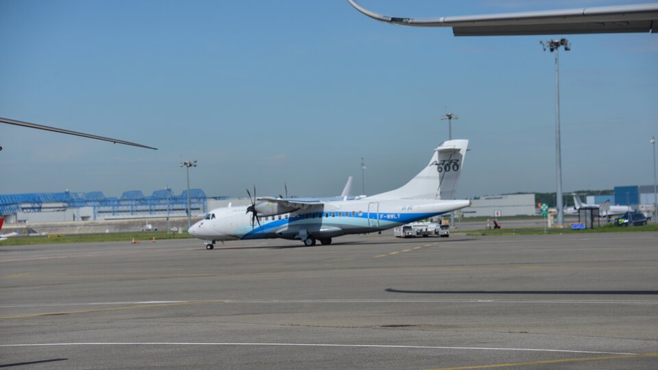
Suitably equipped aircraft, including an Airbus 350 XWB, a Beluga transporter, an ATR-72 600 regional airliner and an H175 helicopter, all made demonstration landings.

Meanwhile officials of the French Air Navigation Service Provider DSNA spelt out their plans to switch from the current ILS to a performance-based navigation transition plan based on defined requirements, enabled by EGNOS’s exemplary performance and level of safety.
EGNOS, or the European Geostationary Navigation Overlay System, can provide horizontal and vertical guidance to anywhere in Europe, without the need for any additional airport-hosted infrastructure.
By using three geostationary satellites and a 40-strong network of ground stations, EGNOS improves the accuracy of US GPS signals over European territory, while also providing continuous updates on their ‘integrity’, or continuing reliability.

The result is that the EGNOS-augmented signals are guaranteed to meet the extremely high performance standards set out by the International Civil Aviation Organisation standard, adapted for Europe by Eurocontrol, the European Organisation for the Safety of Air Navigation.
The signals from space can therefore be relied on routinely for the safety-critical task of vertically guiding aircraft during landing approaches.
Maurice Georges, Chief Executive of the DSNA, stated: “Since our first European EGNOS approach publication in 2011, we have now provided EGNOS-based approaches to airspace users for close to a hundred of runway ends in France.”
Pierre-Yves Huerre, Head of Planning and Strategy at the DSNA, explained: “We use the free-of-charge EGNOS signals to reduce our internal costs, and thus supports a wider DNSA programme aiming to reduce the landing tax over French airports.
“We are also thankful for the European GNSS Agency (GSA) contribution to this programme, by sponsoring part of the avionics transition costs for interested airspace users, which now involves regional French airlines.

“We expect to continue delivering incremental benefits back to airspace users throughout our modernisation programme and SESAR (Single European Sky ATM (Air Traffic Management) Research) deployment.”
DSNA is committed to continuing deploying EGNOS over all instrumented runway ends in France by the end of 2017, within its performance-based navigation deployment plan.


