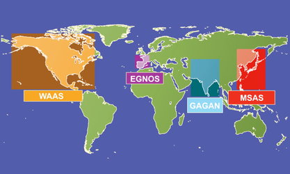
Space segment
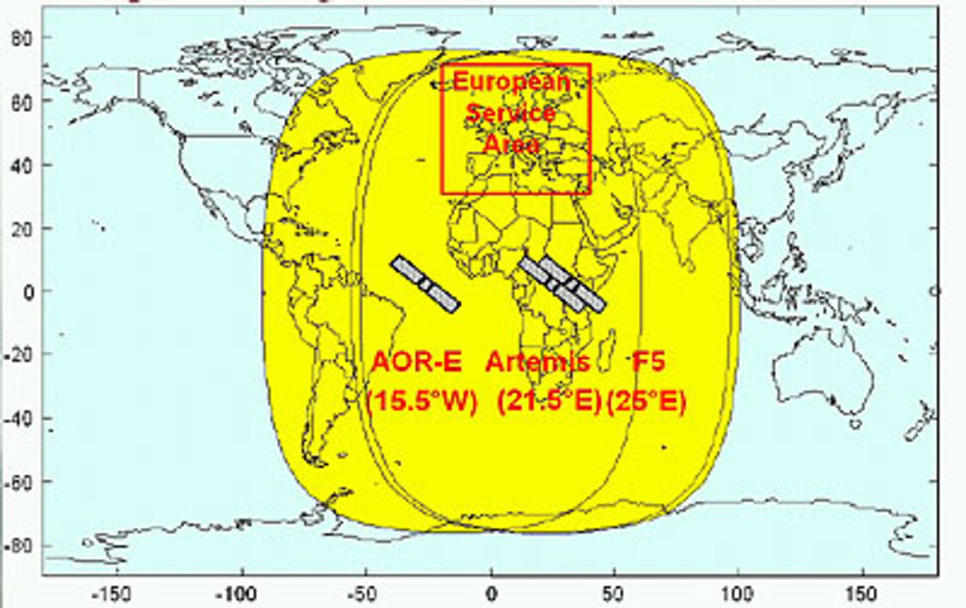
The EGNOS space segment is made up of navigation transponders onboard the geostationary satellites Inmarset III Atlantic Ocean Region-East (AOR-E) and Inmarsat III F5, together with the new ESA telecommunications satellite Artemis.
In addition, EGNOS uses signals from the
- the GPS constellation
- the GLONASS constellation

EGNOS relies on the availability of geostationary satellites equipped with navigation payloads to broadcast a GPS look-alike signal containing integrity and wide-area differential corrections to users. The operational system uses three satellites to disseminate this data: Inmarsat III Atlantic Ocean Region–East (AOR-E) at 15.5ºW; ESA ARTEMIS at 21.5ºE; and Inmarsat III F5 at 25ºE.
The navigation payloads on all these satellites are essentially bent-pipe transponders so that a message uploaded to a satellite is broadcast to all users in the geostationary broadcast area of the satellite.