Coastal zones
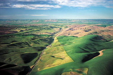
The world’s three million km2 of coastline represent prime real estate, and much more too. As well as being the most populated regions in the world, coastal zones are significant for their rich fisheries, oil and natural gas sites, harbours and transport routes as well as tourism, and include areas of great ecological diversity, such as wetlands and coral reefs.
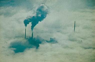
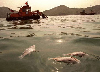
But these vital regions face threats to their future. Growing human numbers threaten an increase in water pollution, whether as agricultural chemicals running-off into estuaries or direct industrial or sewage discharges. The long-term effects of such pollution is often unknown.
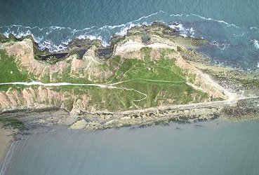
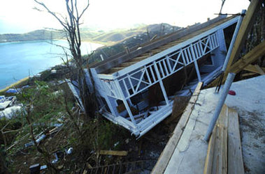
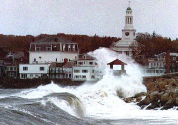
Coastal zones are also set to bear the brunt of global warming: they may be eroded away more quickly by worsening weather conditions or else inundated by rising sea levels.
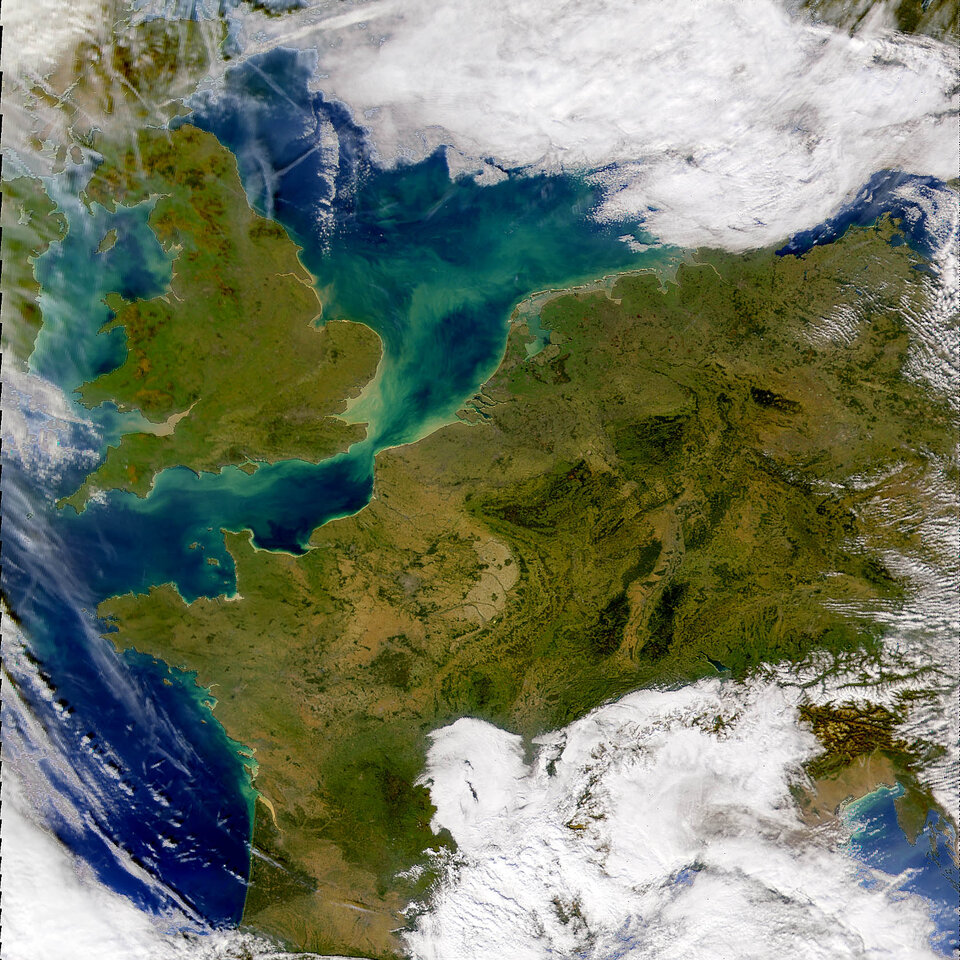
By observing ocean colour, Envisat’s MERIS can characterise the complex mixing of suspended sediments and decomposed and living phytoplankton that occurs in these waters; algorithms have been developed to convert water’s optical properties into a reliable guide to its contents. Simultaneously ASAR can track coastal erosion as it happens and the rate of loss can be checked against a decade’s worth of ERS images.
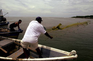
Envisat can assist the fishing industry in coastal zones by guiding fishing fleets towards the best catches. Fish, such as tuna, like to swim within certain temperature ranges, which can be tracked by AATSR. They are attracted by the presence of dense phytoplankton, which can be observed by MERIS. So by combining this data with wave height and marine current maps gathered by the RA-2, the most promising fishing spots can be pinpointed.
Conversely Envisat can protect coastal fisheries against illegal incursions, giving warning of a fishing boat’s presence as well as helping law enforcement agencies to identify them, by providing details of their heading, speed and class of vessel.