Germany land motion mapped
Tiny shifts in the land surface across the whole of Germany have been mapped for the first time, with the help of the Copernicus Sentinel-1 radar mission.
Land-surface deformation, such as subsidence, often happens because of changes that take place underground such as groundwater extraction, mining, natural consolidation of sediments and rapid urbanisation.
This ground motion can be a major threat, in both urban and agricultural areas, where continuous shifts over time can cause, for example, damage to buildings, roads, bridges, dykes and other infrastructure, and can cause changes in the way surface water flows and accumulates – all of which has economic implications.
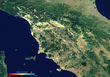
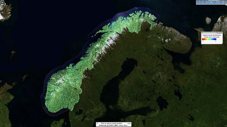
Urban development projects and risk assessment efforts rely on ground-motion monitoring, which is usually supplied by terrestrial surveying methods. Images from space, however, offer cost-effective, systematic, high-precision measurements over most of Earth’s land surface.

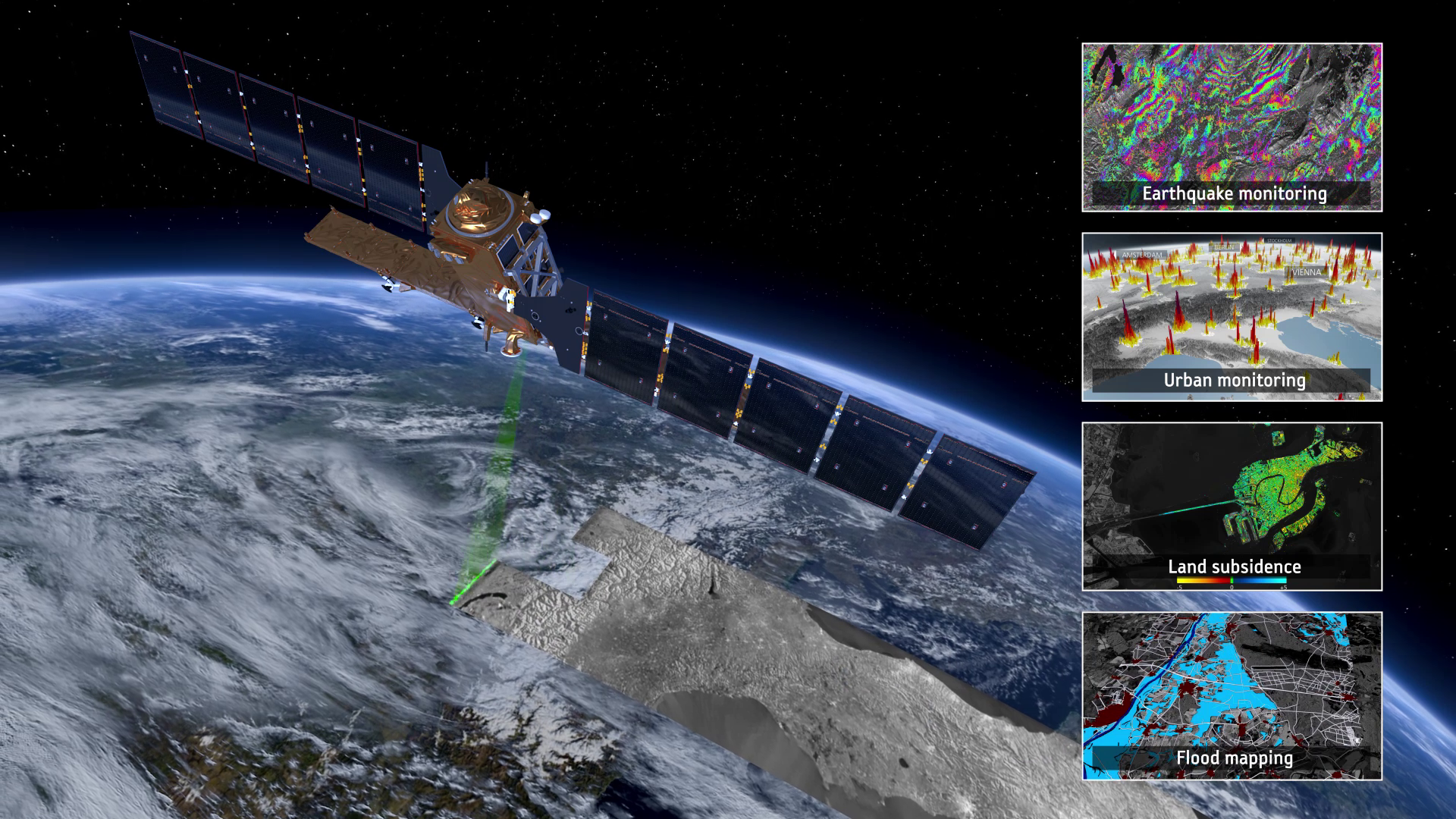
Copernicus Sentinel-1 is a two-satellite mission delivering radar images that can map ground movement and help track changes as small as a few millimetres.
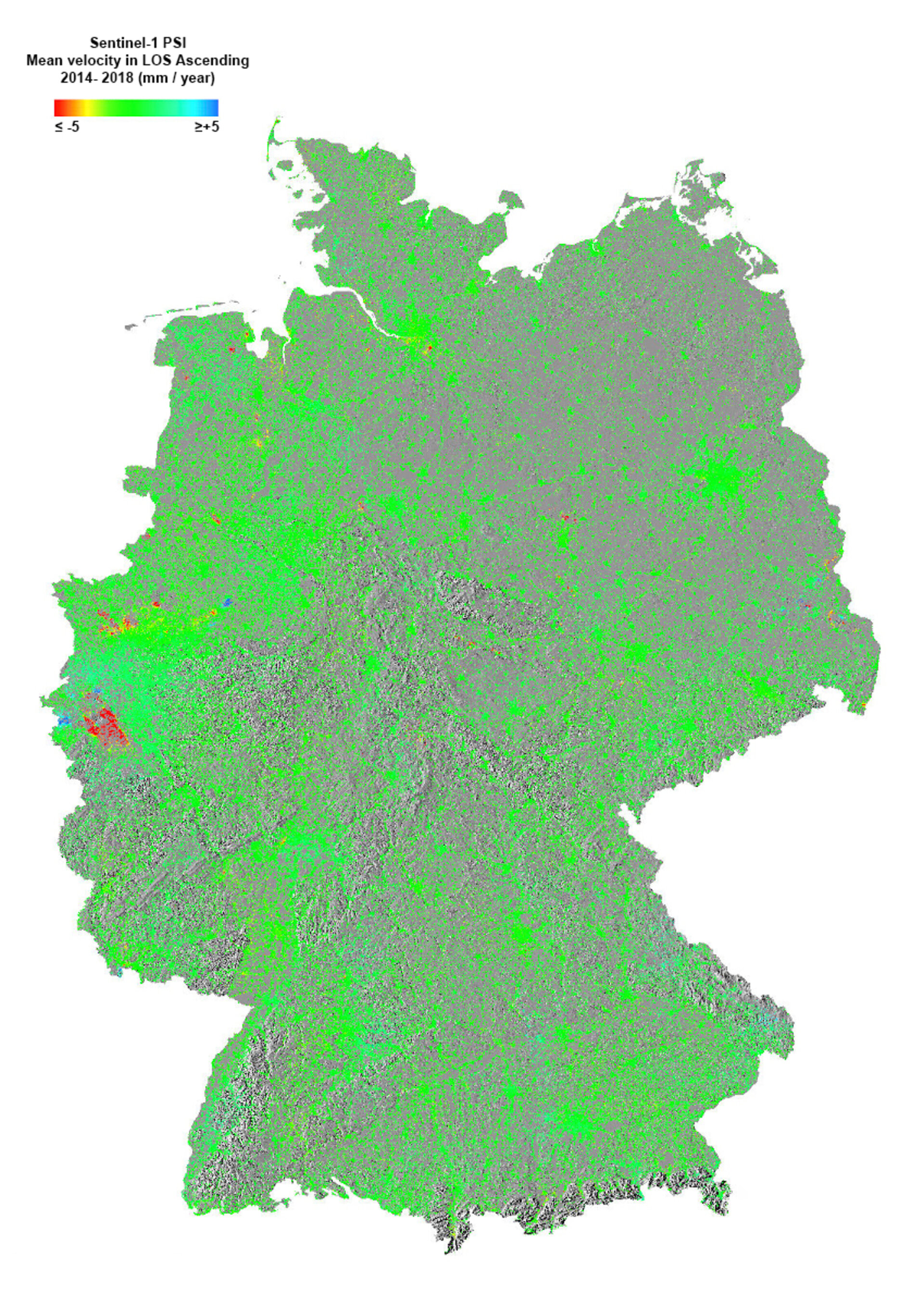
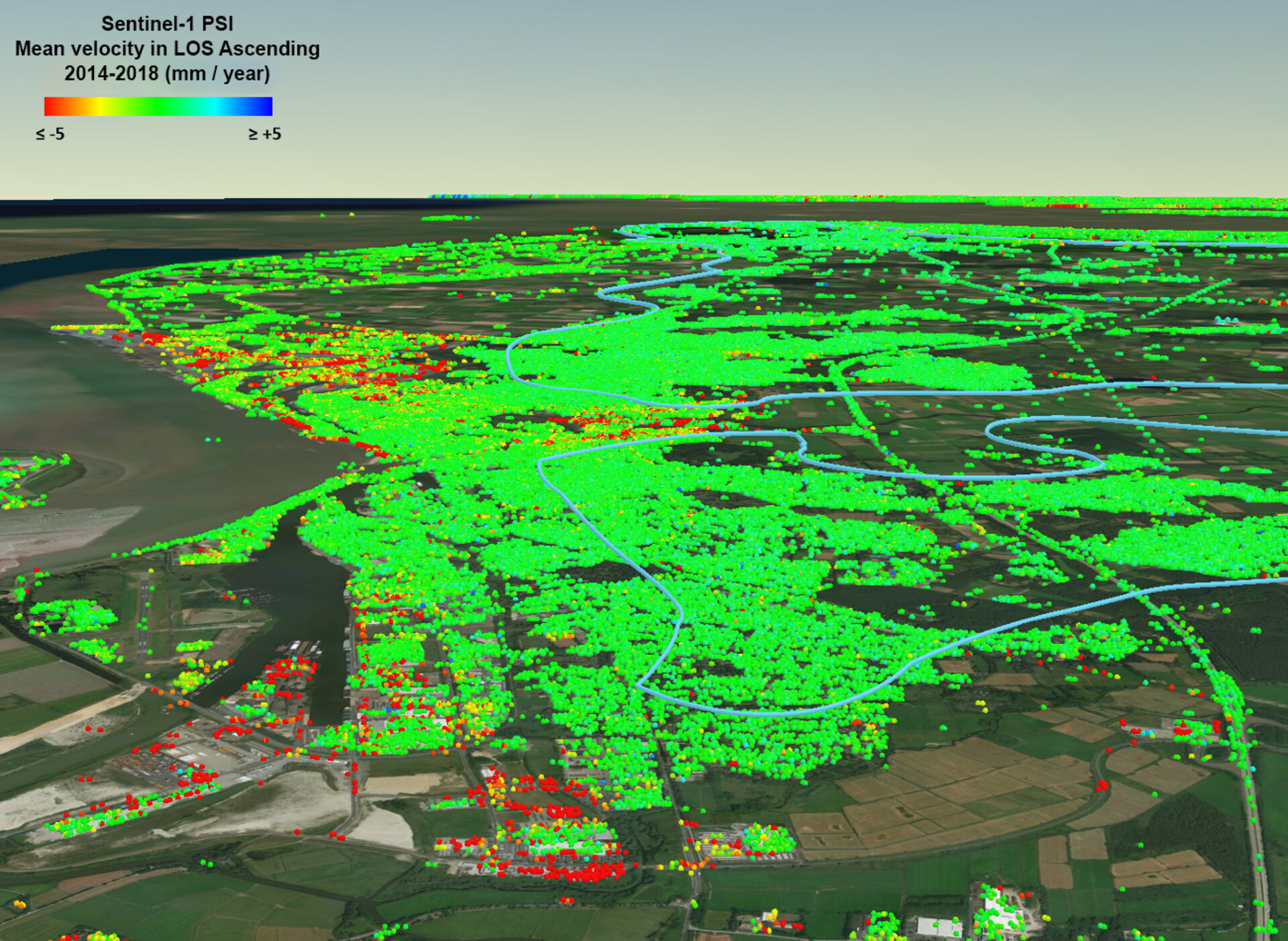
Germany’s Federal Institute for Geosciences and Natural Resources (BGR) has made good use of the mission’s data to generate data products through its Ground Motion Service. The result is Germany’s first nationwide map of ground deformation.
This first map shows how the land surface across Germany shifted in millimetres a year between 2014 and 2018.
The subsidence shown in red in the Ruhr area in the country's west is because of open pit lignite mining accompanied by groundwater lowering. Blue patches in the adjacent area are likely related to the rise of groundwater after mining activities ceased.
Authorities can use the data products to improve urban planning and even resolve issues of subsidence before they are visible to the naked eye.
Through the service, the Copernicus Sentinel-1 data can also be supplemented by data from Germany’s TerraSAR-X satellite mission for selected regions.

Access the video