

Sentinel-1 speeds up crop insurance payouts
For the first time in India, a state government is using satellites to assess lost crops so that farmers can benefit from speedy insurance payouts.
The southern Indian state of Tamil Nadu is home to around 68 million people, of which almost a million are rice farmers. However, Tamil Nadu is facing the worst drought in 140 years, leading to the land being too dry for paddy fields, lost yield, widespread misery and unrest.
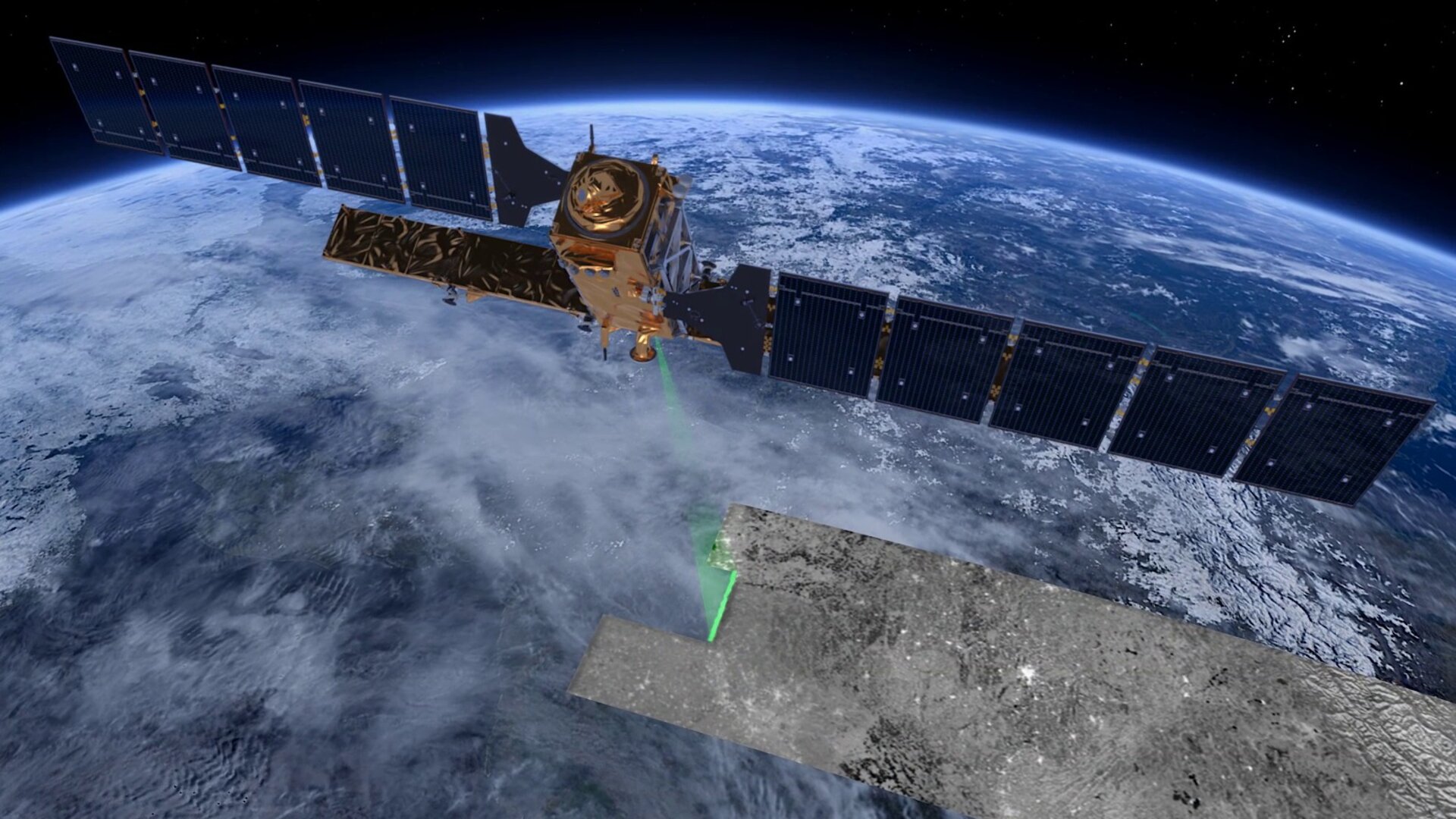
The Copernicus Sentinel-1 radar mission has been used to alleviate a little of the suffering by providing evidence of damaged land and failed crops so that the Agricultural Insurance Company of India can compensate farmers as quickly as possible. So far, more than 200 000 farmers have received payouts.

Access the video
Malay Kumar Poddar, the company’s general manager, said, “Assessing damages based on remote-sensing technology is introducing much objectivity into the crop insurance programme.
“Beyond the area loss assessment, we are also keen to apply the technology to assess actual yields at the end of the season.”
Satellites carrying optical cameras can provide images of Earth’s surface only in daylight and in the absence of cloud, but the Sentinel-1 satellites carry radar which works regardless.
This makes it an ideal mission to use in tropical and subtropical regions, which are often cloudy.
Sentinel-1 radar imagery combined with rice-yield modelling is at the heart of the German–Swiss Remote-Sensing based Information and Insurance for Crops in Emerging Economies initiative (RIICE).

Francesco Holecz, from sarmap, set up the service in collaboration with the International Rice Research Institute, RIICE partners, Indian authorities and universities.
He said, “The reliable repetitiveness of the Sentinels, their short revisit intervals, the free, quick and easy access to the products and the high quality of the data have contributed a lot to the practicability of satellite-based rice monitoring systems.”
Gagandeep Singh Bedi, agricultural production commissioner and principle secretary to the government in Tamil Nadu added, “RIICE remote-sensing technology allows us to assess crop loss and damages in a more transparent and timely manner.
“It was particularly useful during the last cropping season to identify villages that had been hit by drought, and farmers benefited from the technology by getting claims in a record time.”

The research network is also working with partners in other countries to develop the method further.
For example, the Tamil Nadu Agricultural University and the International Rice Research Institute in the Philippines are looking to use it to assess yields at the end of the season.
Sellaperumal Pazhanivelan, from the university, said, “We believe that this technology can help the state governments to obtain objective and transparent data on actual rice yields so that farmers affected by natural hazards can be identified quickly.”


