

Looking out for coral bleaching
The EOMAP aquatic remote sensing company, together with partners at the Remote Sensing Research Centre of Queensland University and the Great Barrier Reef Foundation, are developing new methods to monitor and detect coral bleaching events using Europe’s Sentinel-2A satellite.
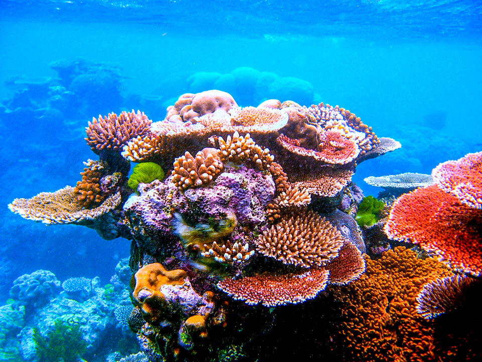
The Great Barrier Reef is suffering dramatic levels of coral bleaching over large areas of the northern reefs.
In order to assess the extent of a bleaching event, scientists and managers often resort to surveys from aircraft, followed by targeted dive surveys. With the Reef being approximately the size of Italy, this is a costly and time-consuming procedure, particularly when repeat surveys are required.
Today, Sentinel-2A provides the required spatial and temporal resolution for detecting and monitoring coral bleaching (of a certain magnitude in area and duration) at Reef-wide scales.
EOMAP and partners believe they have the right algorithms to best exploit these new data sources.
Dr Petra Lundgren, Science Manager at the Great Barrier Reef Foundation, comments, “Given the Great Barrier Reef’s vast size, and the scale of the threats it faces, there is an urgent need to develop new, cost-effective monitoring technologies that will improve the spatial and temporal scope of observation data.”

Australian and German teams are testing this methodology over an area of the Reef where, based on recent aerial surveys, bleaching is occurring. The premise is relatively simple: compare Sentinel-2A images taken before and during coral bleaching.
However, such satellite image comparisons are not straightforward, particularly where water-covered targets are concerned. Variations in viewing and illumination geometries, atmospheric conditions, water column optical properties, sea surface roughness, tides and water depth all add to the difficulties.
Dr Magnus Wettle, Managing Director of EOMAP Australia, explains: “These variations, between images taken, say, 1–2 months apart, can distort the measured signal to the point where it significantly affects the perceived differences in the image data; errors of omission and commission are both likely.
“We can get around this by using our proprietary Seafloor Reflectance product.”
Calculated using physics-based algorithms, the EOMAP seafloor reflectance is the theoretical true colour of the seafloor, as if the overlying water column were removed and the viewer were standing on the seafloor.
In other words, the perceived colour of the seafloor is normalised for atmospheric and aquatic optical effects, and seafloor colour can therefore be accurately compared between images taken at different dates, from different sensors, and under varying environmental conditions.
“The areas that are shown in the maps as potentially bleached make sense based on our interpretation of aerial and field observations, as well as our understanding of the coral bleaching process,” says Dr Chris Roelfsema, Co-Director of the Remote Sensing Research Centre at the University of Queensland.
“These results are very promising and will provide a step forward in combining field and satellite methods for monitoring bleaching for large areas such as the Great Barrier Reef.”
The next important step is to incorporate additional, accurate field survey data, acquired over the period during which the corals are bleached, in order to further validate these outputs.
Australian agencies working on the Reef have now collected field survey data, which could be used towards validating this approach.
Once proven, the approach can be deployed across larger, regional scale areas of the Reef, both for mapping and future monitoring purposes.


