ESA training course focuses on land
Satellites provide us with an enormous amount of quality data about our planet daily, but the value of these data can only be realised through the ability and creativity of users. ESA’s series of advanced training courses brings world-renowned remote-sensing experts and students together to ensure tomorrow’s scientists are able to make the most of these data.
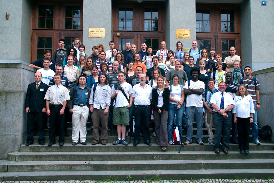
The Advanced Land Training Course, held 28 June-3 July in Prague, brought 66 students from 22 countries together with 12 leading scientists so they could expand and improve their knowledge and skills in land remote-sensing research.
"The students attending the courses are really eager to learn; they want to digest the material we propose and this makes teaching a very rewarding experience," Prof. Fabio Rocca of Italy's Milan Politecnico said. "Furthermore, the students are close to the needs of the final users, and satellite remote sensing will expand its applications through their work."
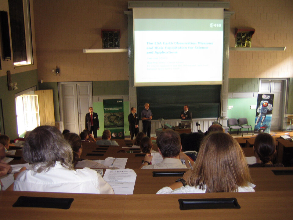
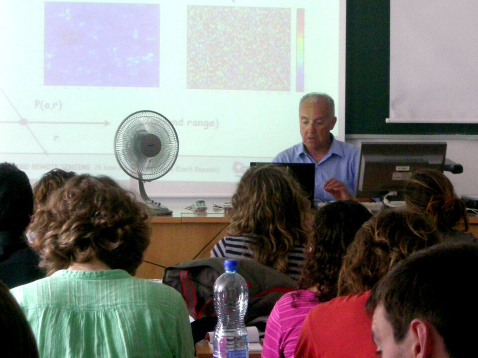
The course, organised by ESA and the Czech Space Office was hosted by the Charles University -Faculty of Science and the Czech Technical Univesity in Prague. It covered various topics ranging from lectures on Earth observation land applications (urban planning, land cover and damage assessment), the fundamentals of radar, optical and thermal remote sensing and ESA and Third Party Mission products. Many sessions were dedicated to exposing the students to remote sensing applications through hands-on computing exercises and practise using ESA toolboxes for land-resources monitoring.
"This course was an amazing experience because of the highly relevant scientific subjects, the high quality of the lectures, the originality of the practical case-studies and the high diversity of student backgrounds. It was also a unique opportunity to start to work with the cutting-edge toolboxes developed by ESA to make our scientific work on remote sensing easier, faster and more accurate," said Artur José Freire Gil from Portugal’s University of the Azores.
Barbora Knechtlva, a student at the Czech Technical University in Prague, said the course, hosted by the Faculty of Science at Charles University and the Czech Technical University, was a great possibility for young students and researchers to learn the latest advancements and developments in remote sensing and to see many practical examples that can inspire them in their own research.
"As a Czech participant, I think it is very important that this event was held in Prague because we need to extend the use of remote sensing in the Czech Republic, and this is a very good way to attract young prospective students," she added.
The Czech Republic became an official ESA Member State in November 2008.
Patrick Klenk, a student at the Institute of Environmental Physics at Heidelberg University in Germany, has a background in soil physics and ground-penetrating radar methods. He attended the course to get an in-depth introduction to cutting-edge methods in land remote sensing.
"This week in Prague gave me the invaluable chance of furthering my theoretical understanding of these state-of-the-art methods while at the same time getting a hands-on introduction to the tools currently used in active research."
"The course provided a broad overview of potential research topics pertinent to my work, and I returned to Heidelberg with a much better feeling for the directions my own research can lead … I hope many more generations of young scientists will be able to profit from similar events in the future," Klenk said.
Prof. Bob Su from the International Institute for Geo-Information Science and Earth Observation (ITC) in the Netherlands said he found it very encouraging that the students came with challenging ideas and questions for the lecturers.
"The course generated interest for using advanced remote sensing techniques in Earth Science research and in many applications, such as water resources, disaster monitoring, land use and resource conservation and climate change studies."
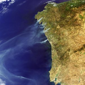
This training course focused on data exploitation from ERS-2, Envisat and Japan’s ALOS satellite, which ESA is supporting as a Third Party Mission. Future courses will include data from upcoming ESA missions with land remote sensing capabilities, including Soil Moisture and Ocean Salinity (SMOS) and Sentinels-1,-2 and -3.