
Earth from Space: Scandinavian snows
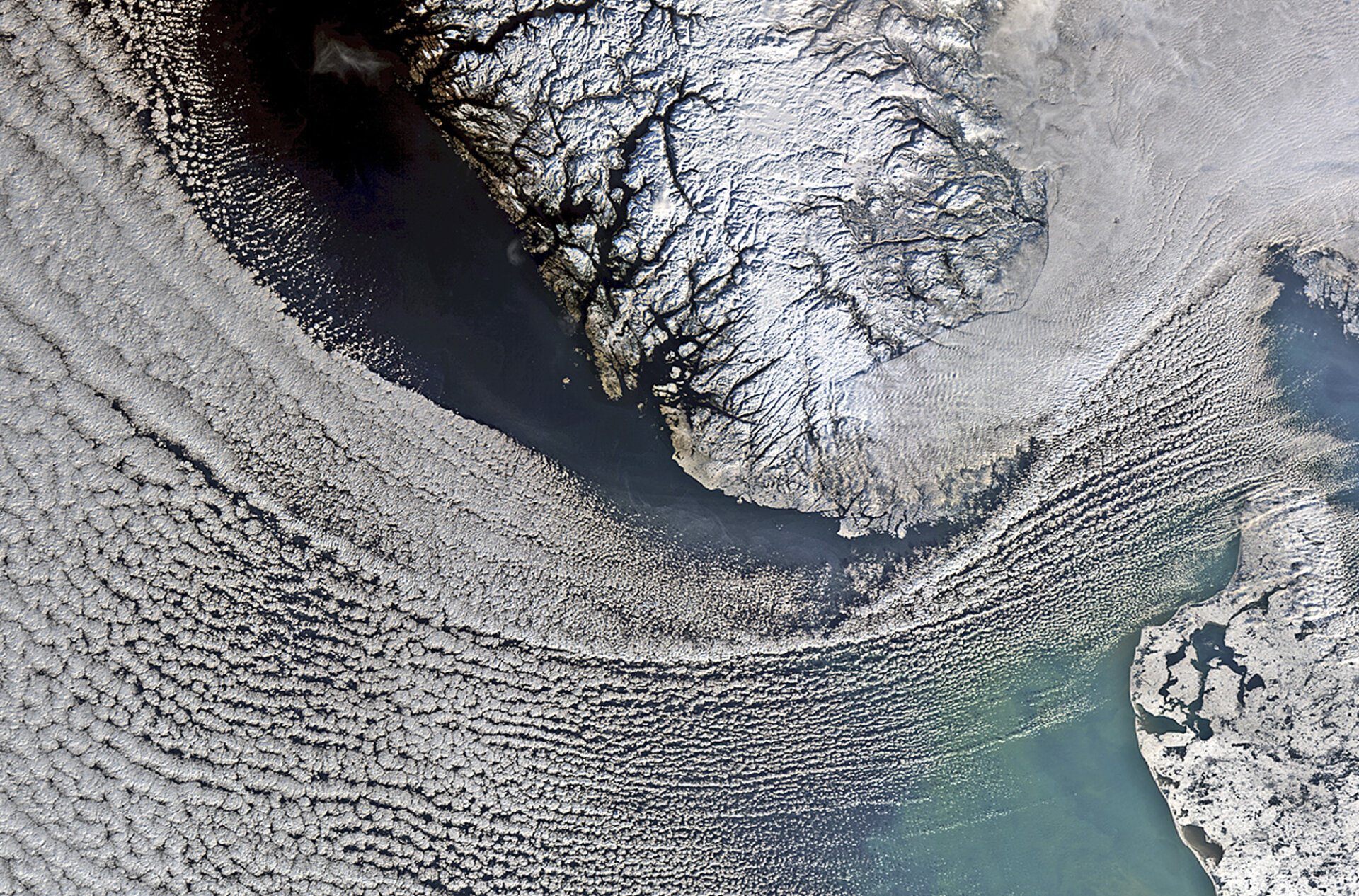
In this image from the Envisat satellite, clouds cover the North Sea and sweep down to the strait between Denmark (lower-right corner) and Norway (upper-centre).
In the upper-right corner, a thicker blanket of clouds covers south eastern Norway and spreads into Sweden.
Located on the Scandinavian Peninsula, Norway is Europe’s northernmost country and is famed for its fjords. Some of these are visible in the image as dark lines between the white and snow-covered land.
During the ice age, ice and rivers carved deep valleys in the mountains. As the climate changed, most of the ice melted and the valleys were gradually filled with salt water from the coast, giving birth to the fjords.
Near the top of the image, we can see part of Norway’s longest and deepest fjord, the Sognefjord. It stretches 205 km inland, reaching a maximum depth of over 1300 m below sea level.
The country’s long coastline and deep fjords offer a unique variety of fishing areas – as well as good conditions for raising fish stocks – making Norway the biggest fishing nation in Europe.
Aquaculture plays an important role in the national economy, and Norwegian farmed Atlantic salmon accounts for over half of the world’s supply.
In the lower-right corner, we can see part of Denmark’s Jutland peninsula, with small and large bodies of water speckling the flat terrain.
This image was acquired one year ago on 31 January 2012 by Envisat.
This image is featured on the Earth from Space video programme.

