
Earth from Space: South Africa
This Envisat image features the vibrant colours and varied terrain that will serve as the backdrop for the 2010 World Cup final on Sunday, as the Netherlands and Spain play for the title in the city of Johannesburg.
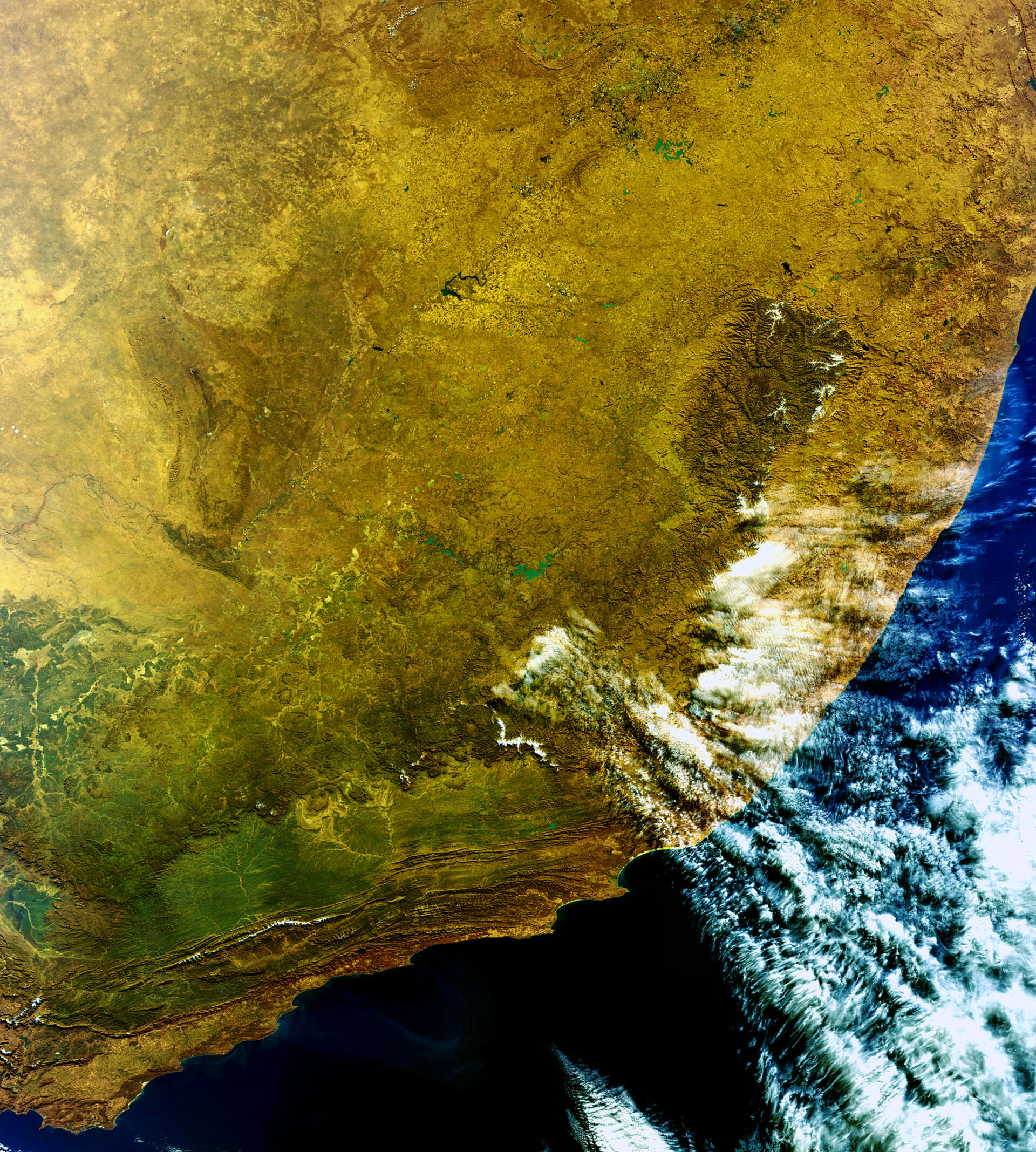
Johannesburg – South Africa’s largest and most populous city – can be seen at the top of the image. The dark body of water located to its southeast is the country’s biggest and third largest dam by volume – the Vaal Dam, which has over 800 km of coastline and covers an area in excess of 300 sq km.
Snow is visible on Lesotho’s Drakensberg Mountains in the east. Lesotho, surrounded by South Africa, is the only independent country in the world that lies entirely above 1000 m. Due to its altitude it experiences cooler temperatures year-round than other areas at the same latitude. Between May and September, snow is common in the lowlands, while the highlands can experience snowfall continuously.
The vast plain to the west of Lesotho is the South African province of Free State. This area is referred to locally as 'South Africa’s breadbasket' because it produces over 70% of the country's grain.
The emerald green vegetation from the Outeniqua Mountains is visible in the southwest. The city of Port Elizabeth is visible slightly west of the clouds where the coastline forms a crescent. From there, trace the coast all the way eastwards to Durban, the country’s third largest city.
This image was acquired by Envisat’s Medium Resolution Imaging Spectrometer on 19 June 2010 at a resolution of 300 m.

