3D Earth in the making
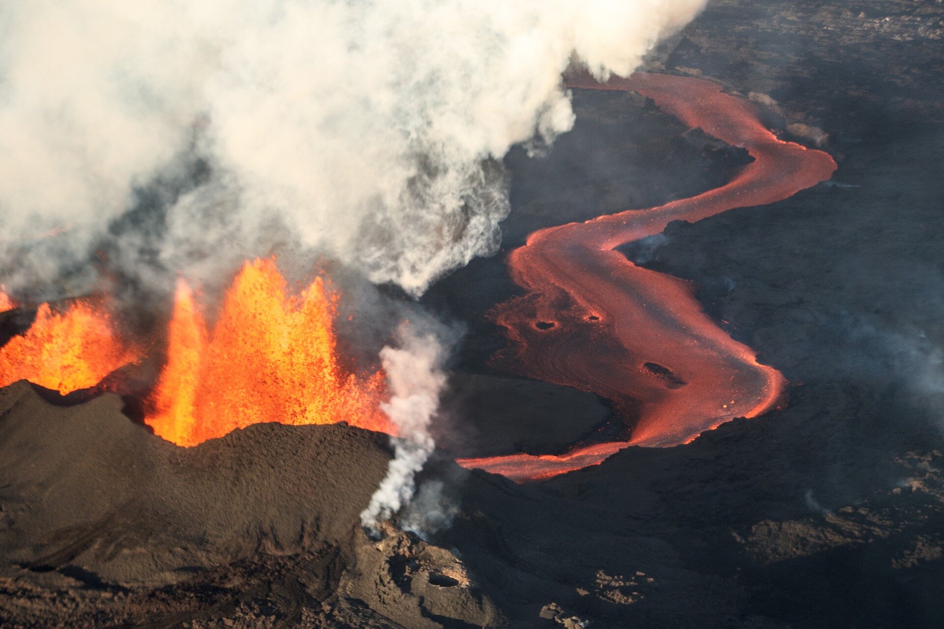
A thorough understanding of the ‘solid Earth’ system is essential for deciphering the links between processes occurring deep inside Earth and those occurring nearer the surface that lead to seismic activity such as earthquakes and volcanic eruptions, the rise of mountains and the location of underground natural resources. Thanks to gravity and magnetic data from satellites along with seismology, scientists are on the way to modelling inner Earth in 3D.
Solid Earth refers to the crust, mantle and core. Because these parts of our world are completely hidden from view, understanding what is going on deep below our feet can only be done by using indirect measurements.
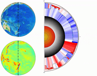
New results, based on a paper published recently in Geophysical Journal International and presented at this week’s Living Planet Symposium, reveal how scientists are using a range of different measurements including satellite data along with seismological models to start producing a global 3D Earth reference model.
The model will make a step change in being able to analyse Earth’s lithosphere, which is the rigid outer shell, and the underlying mantle to understand the link between Earth’s structure and the dynamic processes within.
Juan Carlos Afonso, from Australia’s Macquarie University and Norway’s Centre for Earth Evolution and Dynamics, said, “We are realising the new global model of Earth's lithosphere and upper mantle by combining gravity anomalies, geoid height and gravity gradients complemented with seismic, thermal and rock information.
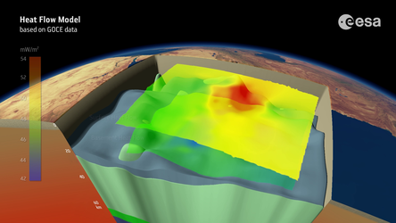
Wolfgang Szwillus from Kiel University, added, “Data from ESA’s GOCE satellite mission served as input for the inversion. It is the first time that gravity gradients have been inverted on a global scale in such an integrated framework.”

While this is just a first step, 3D Earth offers tantalising insights into the deep structure of our world. For example, the new models of the thickness of the crust and the lithosphere are important for unexplored continents like Antarctica.
Jörg Ebbing from Kiel University, noted, “This is just a first step so we have more work to do, but we plan to release the 3D Earth models in 2020.”
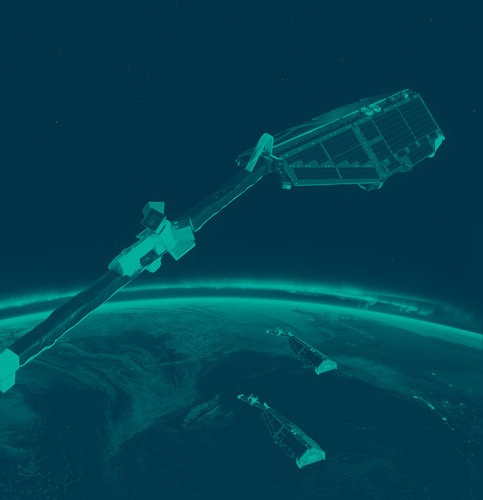
The 3D Earth research, which involves scientists from nine institutes in six European countries, is funded through ESA’s Science for Society programme. ESA’s GOCE gravity mission and Swarm magnetic field mission are key to this research.
We are changing our natural world faster than at any other time in history. Understanding the intricacies of how Earth works as a system and the impact that human activity is having on natural processes are huge environmental challenges. Satellites are vital for taking the pulse of our planet, delivering the information we need to understand and monitor our precious world, and for making decisions to safeguard our future. Earth observation data is also key to a myriad of practical applications to improve everyday life and to boost economies. This week we focus on the world’s biggest conference on Earth observation where thousands of scientists and data users discuss the latest results and look to the future of Earth observation.