Gabon on the radar
Mapping forest biomass from space poses a huge technical challenge, but ESA is building a new satellite to do just that. To make sure its novel measuring technique is accurate over a wide range of forest types, scientists headed over to Gabon in Central Africa.
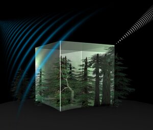
The Biomass mission is the first to exploit the unique sensitivity of ‘P-band synthetic aperture radar’ to determine how much biomass and carbon is stored in forests. P-band is the lowest radar frequency available to Earth observation: 432–438 MHz.
Measurements of forest biomass and forest height will shed new light on the state of our forests and how they are changing. This will advance our understanding of forests in the global the carbon cycle.

This new mission will also lead to better insight into rates of habitat loss and the effect this is having on forest biodiversity.
The AfriSAR field campaign in Gabon provides the very first opportunity to test and develop methods of generating maps of African forest.
Earlier campaigns have been carried out in Indonesia and French Guiana. However, measurements are still needed of tropical forest that is different in structure and climatic conditions than Asian and South American forest, which is why Gabon was chosen for this exercise.
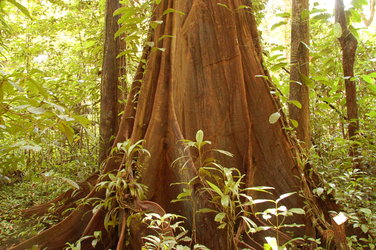
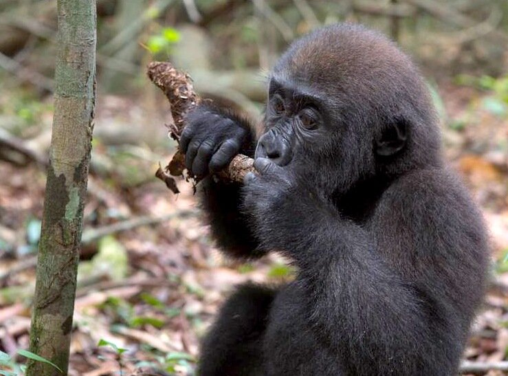
With almost 85% of the country covered by forest, Gabon is home to some of Africa’s most diverse rainforest. It is also a haven for wildlife, including western lowland gorillas and forest elephants.
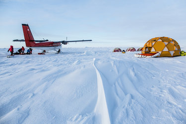
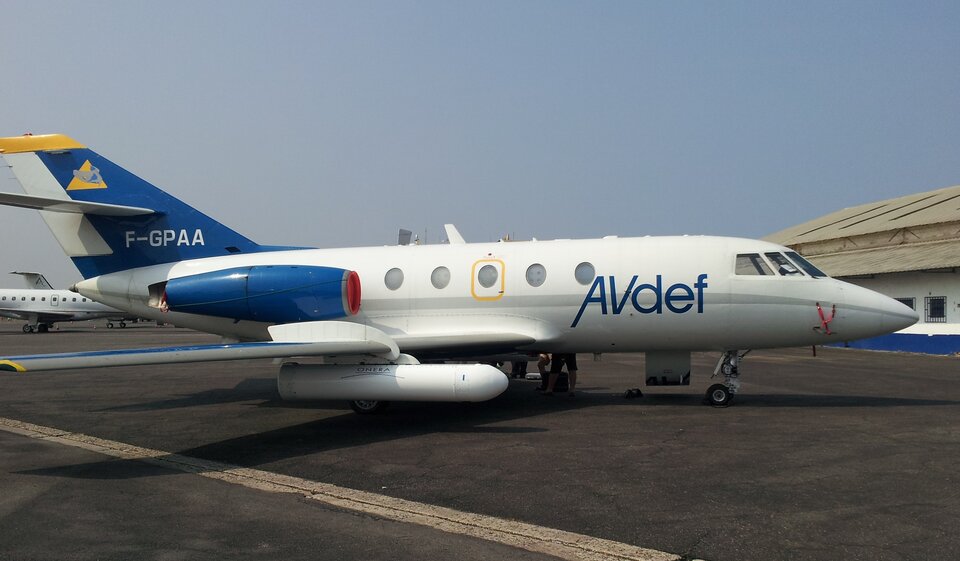
During the recent two-week campaign, which was run by the ONERA French Aerospace Lab, the airport at Libreville turned into a hive of activity. A Falcon-20 aircraft with two torpedo-shaped pods hanging underneath the wings took off and landed repeatedly.
Nestled safely within the aircraft pods lies a little gem of instrument called Sethi.
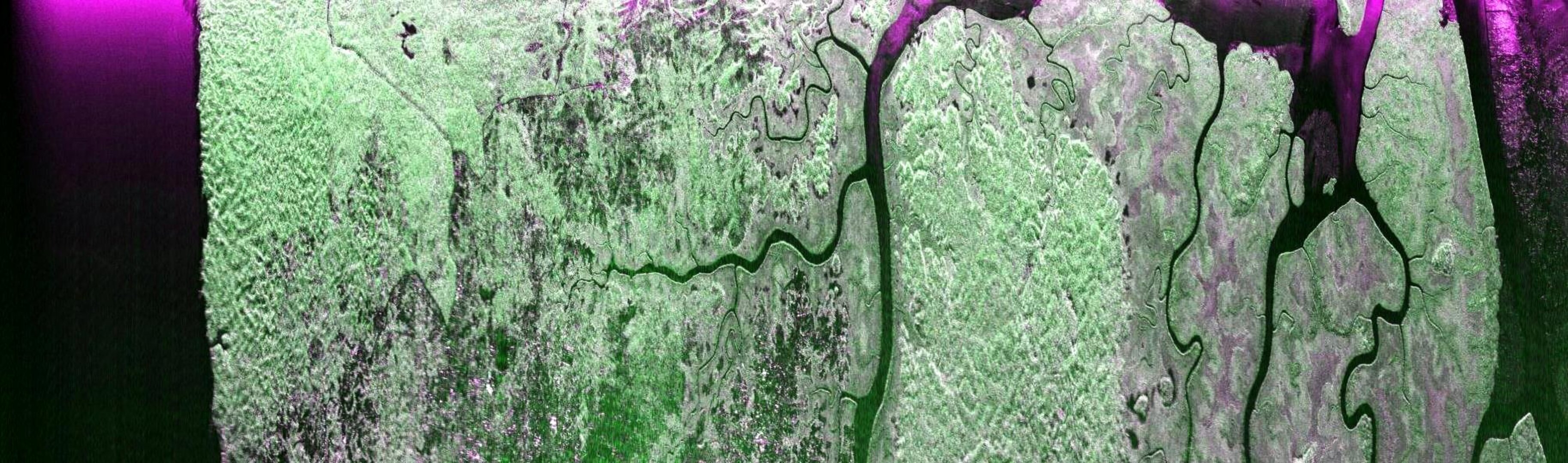
With the help of Sethi it is possible to generate radar images of the dense forest below. These images are similar to those that will be captured by the Biomass satellite once it is launched in 2020.
A team from the French Cesbio institute made coincident measurements on the ground in the Lopé National Park run by the Agency of National Parks ANPN.
These readings of forest conditions will be used later to help study the radar images taken by Sethi.
“This is an intense and challenging campaign at many levels,” said ONERA’s Pascale Dubois-Fernandez, who is responsible for a team of engineers and scientists supporting the first phase of the campaign.
“However, it is wonderful to see the very first radar images of tropical forests in Gabon and study the information they provide about the forest conditions below.”

ESA’s Tânia Casal said, “The Gabonese Space Agency AGEOS and ANPN provided excellent local support and were also been key to the success of the campaign.
“We are also using the occasion to explore new collaborations in the wider context of spaceborne observations of the country.”
Although the first set of flights is now finished, the campaign will carry on for much longer. The huge amount of data has to be processed and analysed.
A second flight campaign is planned for next February at the onset of the rainy season. The DLR German Aerospace Center will then venture out over the Gabonese jungle to take images with their airborne radar.
Before then, a team of ecologists from University College London will collect ground data to validate the maps generated from the campaign.
By combing and studying the images from both flight campaigns, scientists worldwide will be able to prepare for the Biomass mission and ensure that the forest maps generated by the satellite are as accurate and robust as possible.