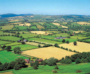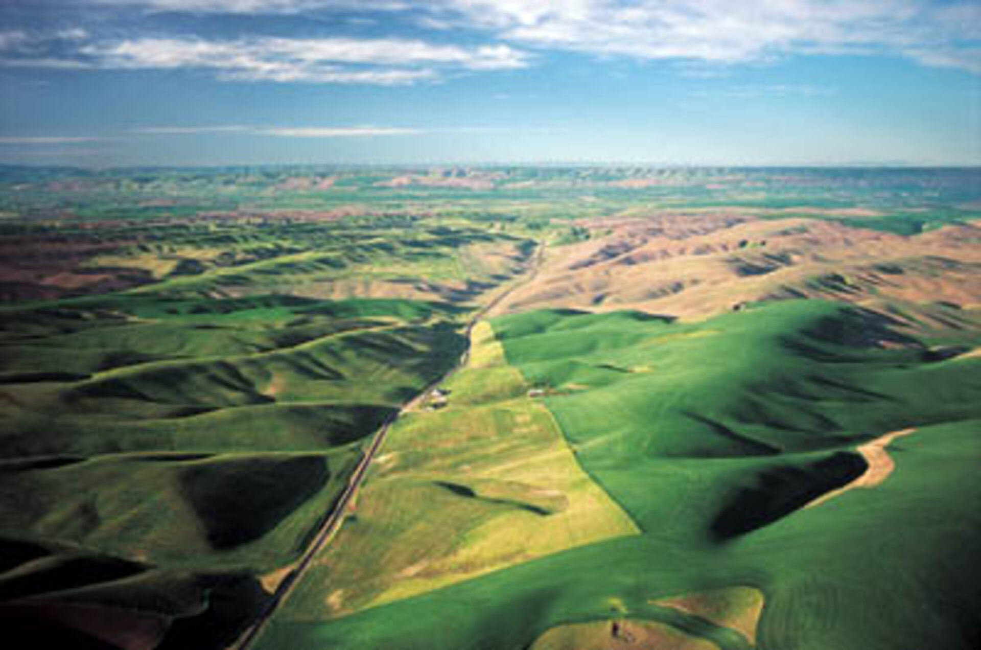
Land
The surface of the Earth is home to humankind as well as to most of the world’s flora and fauna. We depend on it to supply nearly all our food and water as well as many of the materials which ensure our survival – all good reasons why we should take care of it.
Envisat, with its 10 state-of-the-art instruments on board, is now circling the Earth keeping watch over our environment. Day and night, whatever the weather, it will provide scientists, agriculturalists, economists, civil engineers and civil protection authorities with the information they need to help them in their work.
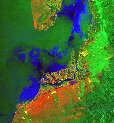
ASAR, MERIS and AATSR are the three imaging instruments on Envisat that provide most of the data on the land. This covers a broad spectrum ranging from information on land use to soil quality, forests and desertification. They are even able to supply data on the type of crops being grown and their state of development, as well as detecting subsidence in our towns and cities of as little as 1 mm a year - all from a height of 800 km.
Envisat is placed in a sun synchronous orbit and each 35 days it will overfly the same point on Earth. However, as most of the instruments on board are capable of observing a large section of the Earth, they can ensure global coverage every three days. This makes Envisat data extremely valuable when disasters such as volcanic eruptions, earthquakes, floods or fires strike. In the year 2000 alone, natural disasters affected the livelihoods of around 250 million people. With the new improved data available from Envisat, hopefully this number will start to decrease.
Thanks to Envisat we now have an ally to supply us with the data we need to help us protect the Earth’s land on which we all depend.