
New guide highlights ESA’s environmental enforcement activities
How can environmental treaties that apply across our entire planet be effectively monitored and enforced, from boreal forests to African deserts? The sheer scale of the challenge makes it a daunting prospect, at least from down here on Earth.
Earth Observation satellites provide global information-rich views of the state of our planet. And ESA is pioneering the application of space data to international conventions through the TESEO (Treaty Enforcement Services using Earth Observation) initiative. From this week the Agency has available a CD-Rom introductory guide to what Earth Observation data is available and how it can be utilised by those who need it.
Titled 'Environmental Conventions and Observation from Space', the multimedia CD-Rom is targeted at anyone in the business of protecting the environment, from top-level national policy makers to statutory bodies tasked with reporting ecological data, conservation NGOs in search of up-to-date information, down to wetland or forest managers seeking ways to perform their duties more effectively.

There have been numerous international treaties signed during the last 20 years, all of them obliging the signatories in some way to monitor and assess the environment. The CD-Rom highlights three of them – the 1971 Ramsar Convention on Wetlands, the 1992 Kyoto Protocol to the United Nations Framework on Climate Change, and the 1996 United Nations Convention to Combat Desertification – and explains how Earth Observation data can be used to support their implementation.
Satellites observing resources under threat
Wetlands are an important environmental resource under threat – it is estimated that half the world’s wetlands were lost in the 20th century – but TESEO analysis shows Earth Observation is a way both to keep track of wetlands globally as well as increase scientific knowledge of individual wetland areas (plus surrounding water basins potentially extending across millions of hectares) and more efficiently manage them. Radar imaging carried out by ESA's ERS and Envisat spacecraft is proven to be a particularly effective way of detecting open water and flooded vegetation.
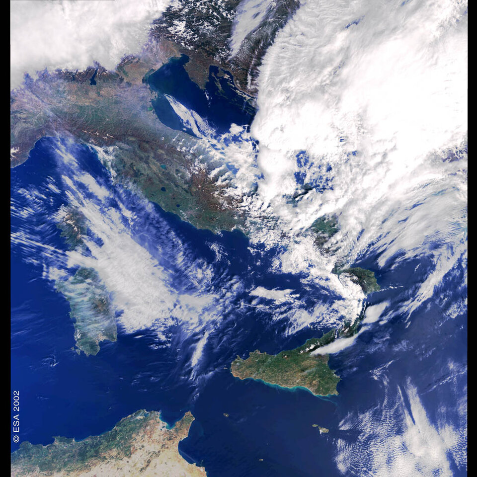
Another TESEO project examined issues arising from Kyoto. Helping Italy to meet its Kyoto requirements, an Earth Observation survey of national forest cover change over ten years has been carried out (forests are an important store of carbon). In West Borneo the planting of a test tree plantation that serves as a carbon 'sink' has been verified and certified by using data from space.
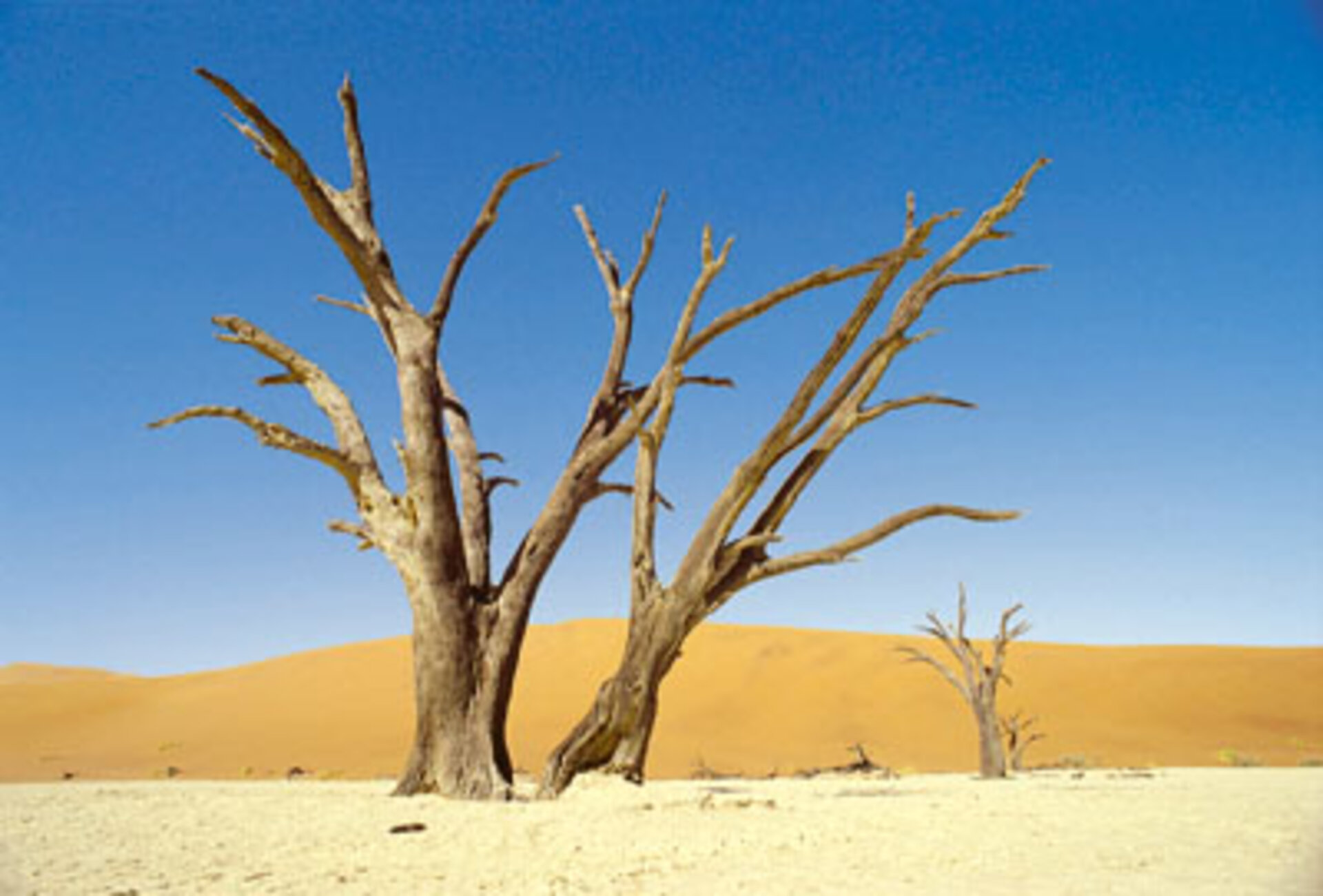
For desertification, another TESEO project has established how Earth Observation provides continuous data – factors such as temperature, rainfall, evapotranspiration, land cover and land use - on global, regional and local scales. Information products can be used to highlight the areas most at risk. And by measuring local ground subsidence down to a few centimetres, satellites can even help predict which desert aquifers are running dry.
The TESEO initiative is paving the way for the GMES (Global Monitoring for Environment and Security) joint undertaking with the European Commission. GMES is the first structured open dialogue between ESA's Earth Observation Directorate, the European Community, and international communities responsible for defining and implementing global environmental conventions.
For more information on TESEO see:
http://styx.esrin.esa.it:5000/teseo/teseo.htm
The CD-Rom is available on request to eohelp@esa.int
