New views of El Salvador save lives
Digital damage maps derived from satellite images are helping the teams clearing up after the disastrous earthquake in El Salvador. For the second time in a few short weeks, the recently-signed 'Charter on Disaster Relief' has swung into action to bring the satellite resources of the European Space Agency, CNES and the Canadian Space Agency (CSA) to the aid of the civil protection authorities responding to a major disaster.
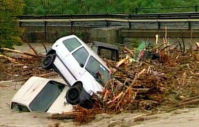
When the quake struck around lunchtime on 13 January, the Richter 7.6 tremor demolished thousands of buildings, and triggered mudslides which engulfed entire villages. Seven hundred are known to have died; hundreds are still missing, and a million people may be left homeless. El Salvador's civil protection authorities are faced with a devastated capital city and heavy damage to roads. This makes access to rural areas, in order to provide aid and discover the extent of the damage, virtually impossible.

The French Civil Protection Agency sent a medical team to the spot and triggered the Charter by calling the hotline at ESA-ESRIN in Frascati. According to ESA's Jerome Bequignon, who coordinates Charter activities at ESA-ESRIN, "SPOT images were gathered on 15 and 16 January, a few days after the disaster. We also looked at Landsat, but the weather was too cloudy to produce useful imagery. Ikonos 1-metre resolution images were also considered".
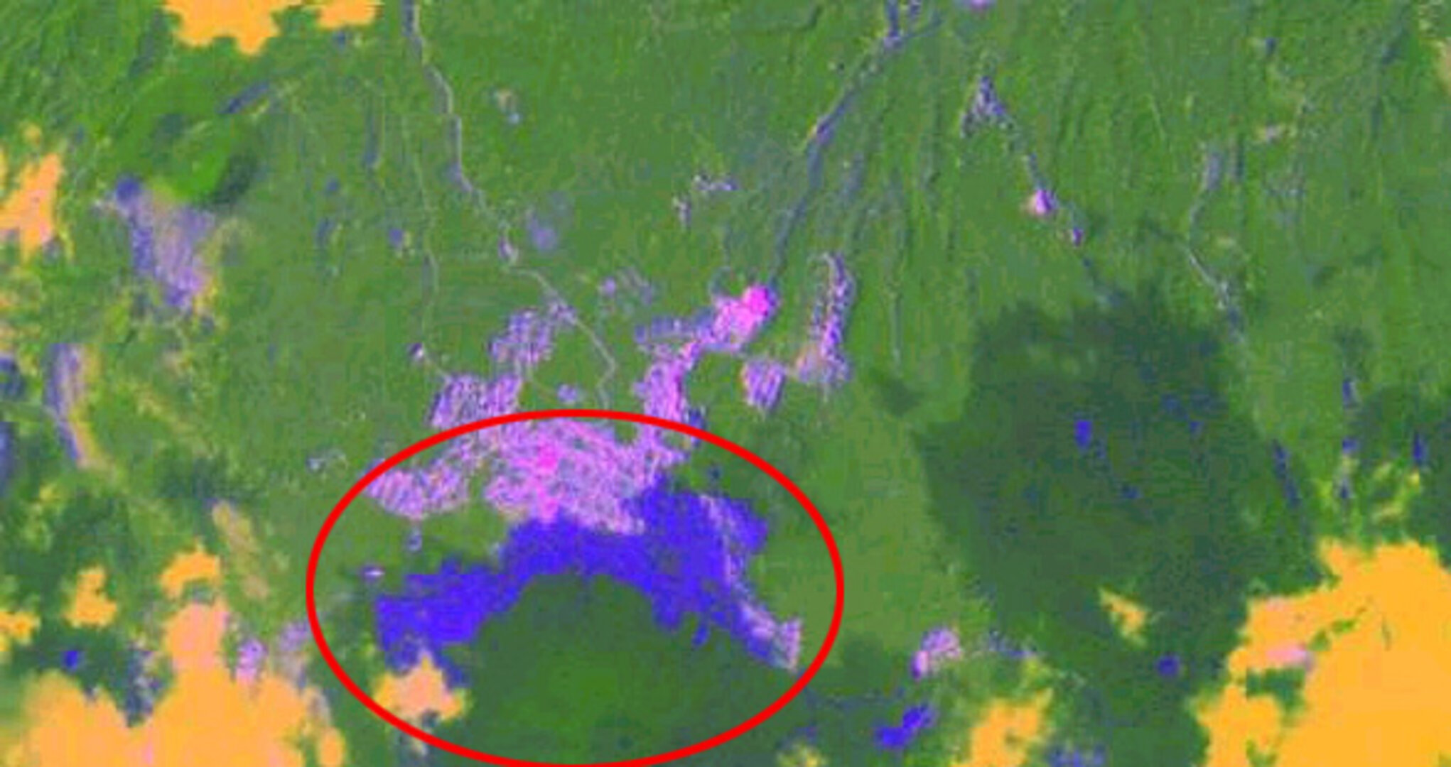
France's CNES processed the images to create maps of the damage. Using various computer techniques, it is possible to identify different types of terrain in satellite images - for example, forested areas can be distinguished from the smoother surface of a mudslide. By comparing earlier images with the ones acquired after a disaster, it is also possible to highlight areas where the image has changed – where buildings have collapsed or a mudslide occurred for example.
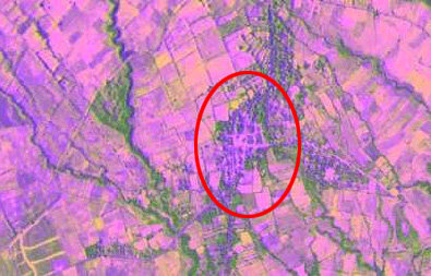
The images shown in this article highlight the damage caused by the earthquake in lurid pink. By combining the information derived from the images with a topographical map provided by CNR, CNES was able to produce maps showing precisely where damage had occurred, even in the most remote and inaccessible areas of the battered country. El Salvador's mapping agency, the Centro Nacional Registro (CNR) is now faced with the task of providing maps to reconstruct the country. The most up-to-date ground-based survey of the country was 25 years ago. Knowing that France's SPOT optical imaging satellites had acquired visual images of their country much more recently, El Salvador's Public Safety Ministry put in a request to obtain a copy of these maps, which was of course accepted. "Unfortunately, there¹s little we can do to forecast the onset of an earthquake," says ESA's Jerome Bequignon, "but satellite data can provide vital information for the civil protection authorities who have to restore services and help the people who have been affected by the disaster. Once more the new Charter has shown its value in disaster relief."