
Partner missions give ESA's new Earth Images Gallery even sharper view
There are now more than 700 images in ESA's Earth Images Gallery, with new views from extra satellites being added to provide close-up views of key locations across our planet.
The Gallery is a user-friendly showcase of spectacular images acquired by ESA Earth Observation satellites – and now in addition, high-resolution views from other non-ESA Earth Observation satellites.
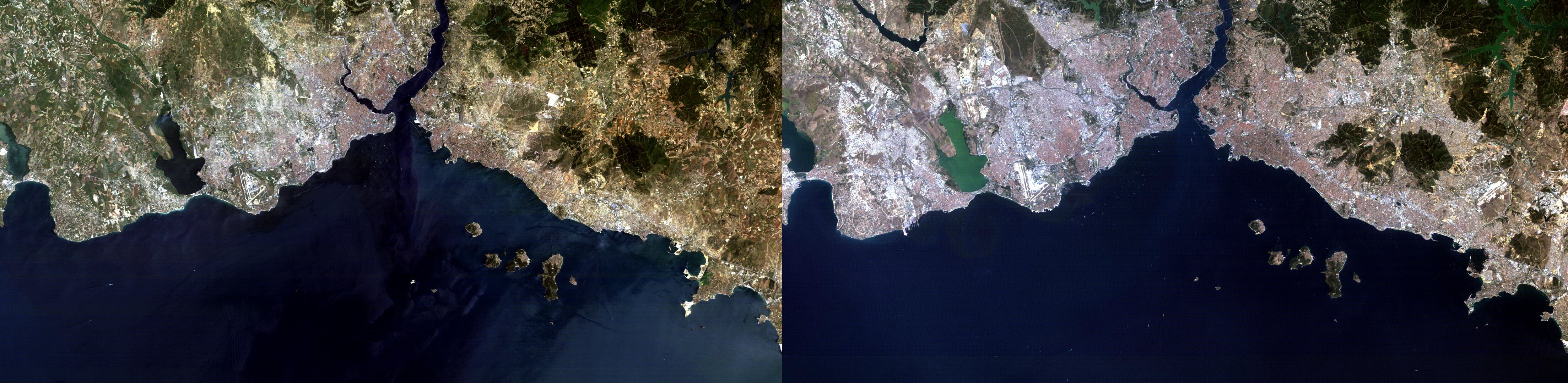
This includes imagery from France's Spot series of satellites, added through an agreement between ESA and Spot Image, the company who distributes Spot data commercially.
Built by the Centre National d'Etudes spatiales (CNES), there have been five satellites in the Spot series so far, the first one launching in 1986. The first three spacecraft have a maximum spatial resolution of 10 metres, while Spot-4 has a maximum spatial resolution of 5 metres, and Spot-5 improving it to 2.5 metres.
Spot-4 is covered by a 'so-called Third Party Mission' agreement. This is a term for an international mission whose data is also acquired, processed and archived by ESA's multi-mission ground systems. Data from such missions are distributed under specific agreements with commercial distributors, or by cooperative agreement.
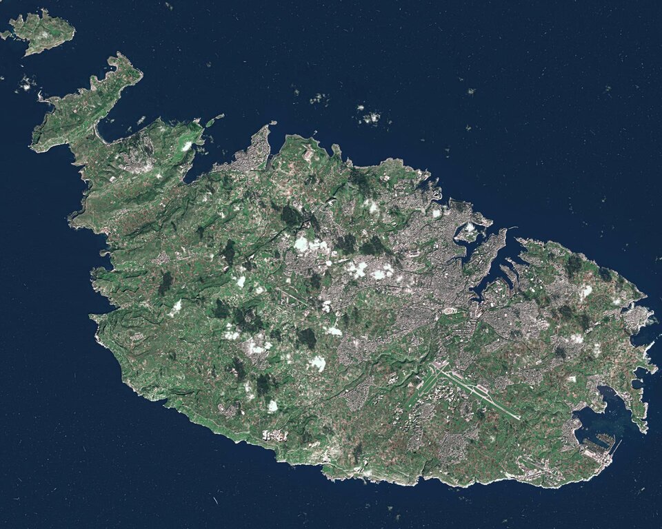
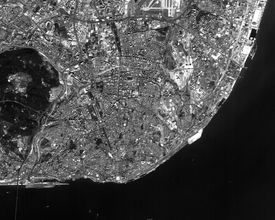
Other Third Party missions whose imagery is now available in the Gallery are the US Landsat series of satellites, which has been acquiring data since 1972 to enable identification of long-term changes to the Earth's land surfaces, and South Korea's KOMPSAT-1, whose black and white imager has a maximum resolution of 6.6 metres.
The collection can be searched on a geographical basis, using a spinning globe to specify a continent of interest. The site then displays the distribution of available images. Select one to view and its regional location is also shown.
Alternatively, the images can be searched by keyword, or based on the mission that acquired them. Also accessible are global maps based on satellite data, including a global land cover mosaic, a digital elevation model based on radar altimetry and Earth's average yearly sea surface temperature. New maps as well as satellite images are being added regularly.

