Vegetation mapping
Proba-V has been specifically designed for global environmental and agricultural monitoring. It will extend the dataset of the long-established Vegetation instrument carried on the French Spot-4 and Spot-5 satellites, launched in 1998 and 2002 respectively.
The sensor on Spot-4 stopped supplying data in 2012 and Spot-5 is expected to come to an end in the middle of 2014. The Proba-V mission will continue the provision of data to a worldwide user community of scientists and service providers.
The use of the data is not limited to just vegetation monitoring. Vital uses of the data include day-by-day tracking of extreme weather effects, alerting authorities to crop failures, monitoring inland water resources and tracing the steady spread of deserts and deforestation.
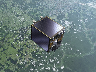
The V in Proba-V also stands for Vegetation, but the design of the sensor is somewhat different to Spot’s, as the sensor is a cleverly miniaturised version of Spot-5’s full-size camera.
Despite its size, Proba-V has a continent-spanning 102° field of view with a 2250 km wide swath. This width of view means that Proba-V will provide global coverage every two days. Moreover, most of Earth’s landmasses will be imaged every day.
Proba-V that collects light in the blue, red, near-infrared and mid-infrared wavebands. Thanks to these four spectral bands, Proba-V can distinguish between different types of land cover and plant species, including crops.
With a ground resolution of 350 m on full field of view and 100 m resolution viewing at nadir, Proba-V will provide a clear picture of the plants so their health can be easily monitored.
Once cloud cover is accounted for, a complete composite of Earth’s land cover is expected to be available to users every ten days.