Climate scientists highlight ESA Climate Change Initiative
As world negotiators gather at the climate summit in Cancun, Mexico, to tackle climate change, scientists are demonstrating how long-term satellite data provide unique information to help policymakers understand and manage climate change.
During the summit, ESA held a side event focusing on its Climate Change Initiative (CCI), which is making full use of Europe’s Earth observation space assets to exploit robust long-term global records of essential climate variables.
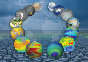
The Climate Change Initiative makes use of archive data going back three decades from ESA and Member-State satellites. These datasets, combined with data from new missions, are used to produce new information on a wide range of climate variables, such as greenhouse-gas concentrations, sea-ice extent and thickness, and sea-surface temperature and salinity.
Renowned climate experts spoke at the event to explain how the CCI will provide consistent data to help scientists improve the understanding of climate change.
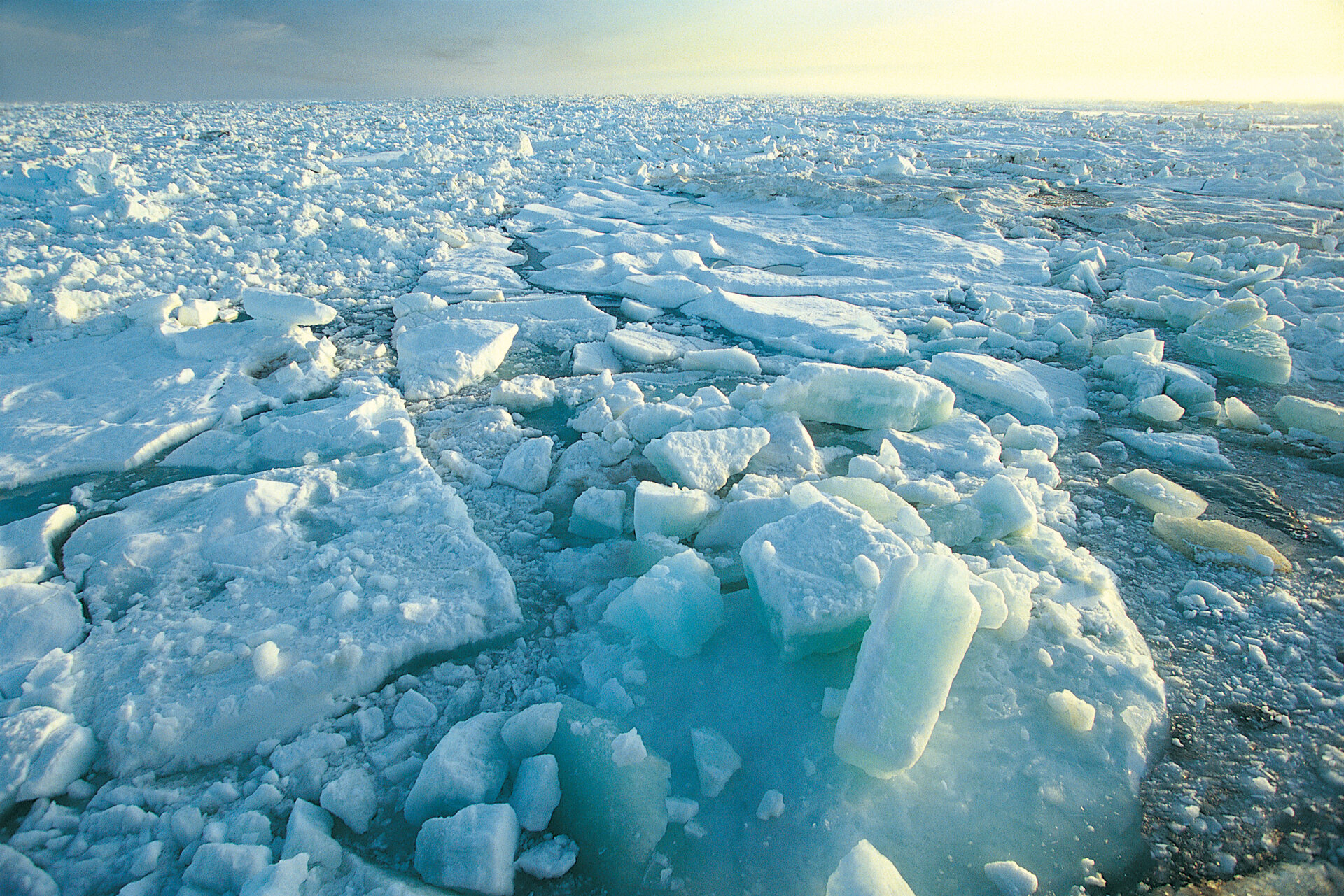
"Monitoring sea-level rise from space using altimeter satellites is very important; we know that sea level is currently rising in response to global warming, and that the rate is accelerating. Sea level will continue to rise in the future. But how much? We don’t know,” said Dr Anny Cazenave, Senior Scientist at Laboratoire d’Etudes en Géophysique et Océanographie Spatiales.
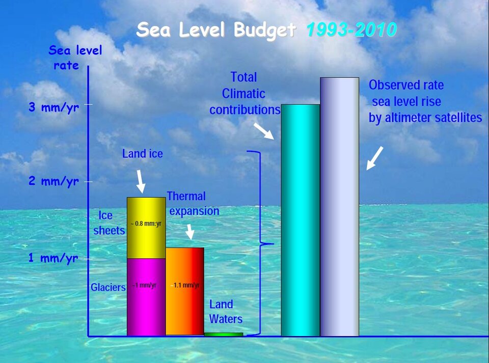
"Climate model projections are still very uncertain, mostly because the future behaviour of the Greenland and Antarctica ice sheets is unknown. The ESA Sea Level CCI project will contribute to constraining climate models used for sea-level projections, to quantify current acceleration rates and, eventually, to detect the anthropogenic warming signature."
Prof. Emilio Chuvieco of Spain’s Universidad de Alcalá explained that biomass burning, which includes forest fires and agricultural burnings, is one of the most critical factors for understanding current vegetation patterns because humans have historically used fires to adapt land conditions to their uses.
"Currently, greenhouse gas emissions from fires are a basic component of atmospheric composition, since it is estimated that between 25% and 40% of all carbon dioxide, a major greenhouse gas, is emitted from burnings.
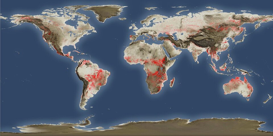
"The ESA Fire CCI project intends to provide an accurate and consistent evaluation of burned areas globally using European Earth observation sensors. The outputs of this project will be used by climate-vegetation modellers to improve their current estimations of global vegetation and atmospheric conditions related to fire."
Roger Saunders, Senior Earth Observation Scientist at the UK Met Office Hadley Centre, talked about bridging the gap between satellite datasets and climate models.
"Earth observation satellite data have been available for over 30 years but their use for improving climate model predictions has been very limited up to now in contrast to their widespread use for short range weather forecasts.
"ESA is now working with key climate modelling centres in Europe to bring together the satellite and climate modelling communities to realise the full benefits of satellite data for improving climate predictions."
Data on these essential climate variables are required by the Global Climate Observing System to support the UN Framework Convention on Climate Change.