Satellite observations prove crucial in new climate science report
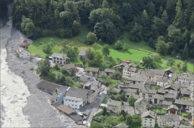
With impacts from climate change threatening major disruption to society in the coming years, leading scientists have released a compilation of the 10 most important insights on climate to help inform collective action on the ongoing climate crisis, in which satellites have played a crucial role in aiding scientific understanding.
The report, presented last week to Patricia Espinosa, Executive Secretary of the United Nations Framework Convention on Climate Change (UNFCCC), summarises the most important results over the past 12 months within the field of climate science.
These findings range from improved models that underline the need for aggressive emission cuts in order to meet the Paris Agreement, to the impact of climate change on our mental health. The report also points out a number of growing risk factors, including the risk of weakening carbon uptake by land ecosystems, as well as significant emissions from abrupt thaw of permafrost.
The report was prepared by a consortium of 57 leading researchers from 21 countries as a partnership of Future Earth, the Earth League, and the World Climate Research Programme (WCRP) and has been published annually since 2017.
Sophie Hebden, Future Earth liaison seconded to ESA’s Climate Office, commented, “This report is unique in providing a particularly broad view of the latest, most important climate research insights we should all be aware of. It highlights the current state of knowledge on the environmental risks posed by climate change, its impacts on society and human well-being, as well as the opportunities emerging from research into climate change economics and governance.”
Permafrost emissions
Emissions of greenhouse gases from permafrost are likely to be worse than expected because of abrupt thaw processes, which are not yet included in global climate models. These abrupt thaw effects could as much as double the emissions from permafrost thaw under moderate and high emission scenarios.

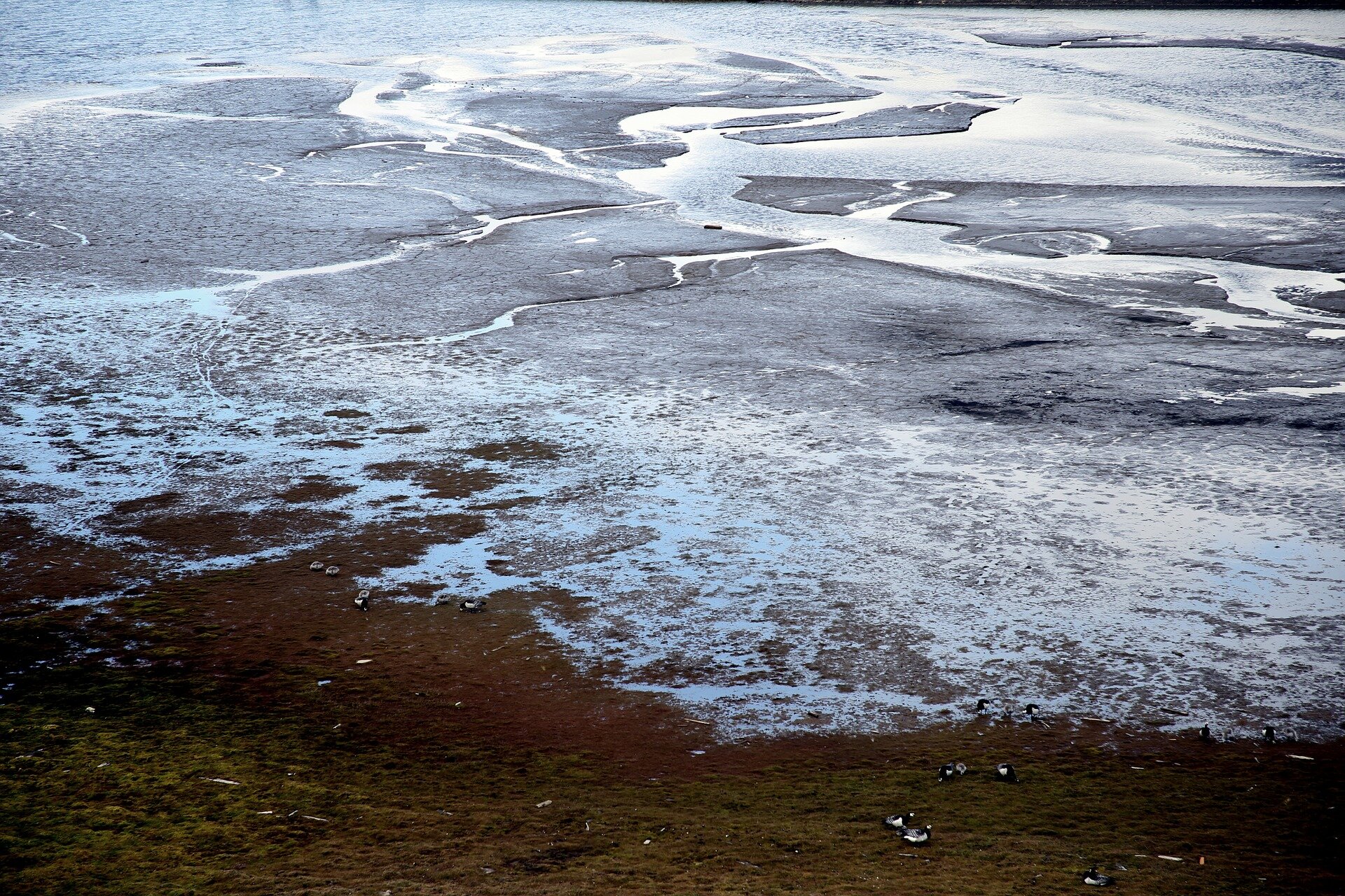
Satellite observations are fundamental in monitoring abrupt thaw of permafrost, which is visible as surfaces collapse across the Arctic landscape, producing slumps, gullies and wetland areas that are expected to substantially increase carbon emissions from permafrost this century as climate warms. Permafrost is one of the ‘essential climate variables’ defined by the Global Climate Observing System.
Through ESA’s Climate Change Initiative, research teams have compiled climate data records of permafrost temperature and extent over decades, as well as snow cover, that can be used to determine trends and understand more about how permafrost is changing and how it fits into the climate system.
In December 2020, ESA-funded researchers developed and released the longest satellite-derived permafrost record currently available. Long-term satellite-derived records, such as these, are a key tool to evaluate and improve global climate models and confidence in the predictions of both future emissions and change.
Carbon sinks
The new report also details the uptake of carbon by land ecosystems which is being eroded by human-driven land-use change, particularly in the tropics. Other factors, such as water stress and permafrost thaw, could further impede the land sink.
Several knowledge gaps exist regarding how climate change will affect the ability of land-based ecosystems to absorb greenhouse gases from the atmosphere. Better quantification of land-use change is therefore key for a better understanding of the natural land sink.
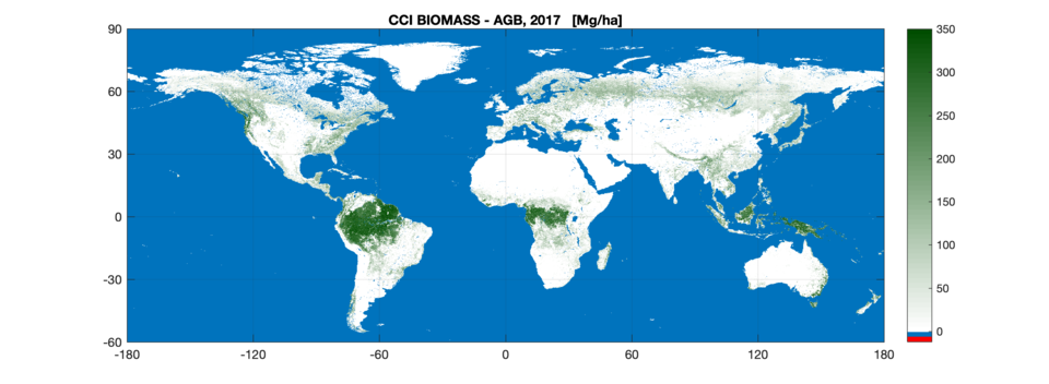
ESA is making significant contributions in monitoring the storage of carbon on land through its Climate Change Initiative (CCI) Biomass project which provides global maps of above-ground biomass.
As well as this, ESA’s CCI Land Cover Project releases annual maps of land cover types worldwide, helpful in tracking changes. These, combined with other CCI datasets such as land surface temperature and fire, can be used in climate and vegetation models, enabling researchers to improve their understanding of the ability of the land to store carbon.
Clement Albergel, Climate Applications Scientist at ESA’s Climate Office, commented, “Assuming a dynamic equilibrium, fire has a negligible net effect on the long-term carbon budget because fire-induced carbon loss is eventually compensated by subsequent vegetation growth as the ecosystem recovers. However, shifts in fire regimes could result in long-term carbon loss, or gain, if they lead to differing states of carbon pools.”
“By using satellite-derived products, such as burned areas and land cover changes from ESA’s CCI Fire and Land Cover projects, and combining these data into both fire emission and dynamic global vegetation models, allows us to determine land-use change carbon dioxide emissions.”
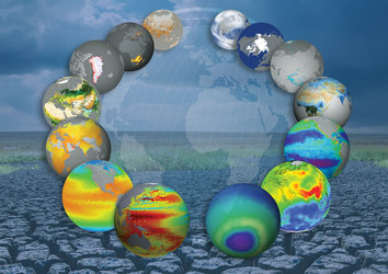
ESA’s Climate Change Initiative provides a wide range of stable, long-term, satellite-based essential climate variable data products derived from multiple satellite datasets, through international collaboration – not only key to understanding the changes taking place through climate change, but essential for climate policy.
The datasets are freely available from ESA’s Climate Change Initiative Open Data Portal.