Wind & waves
The sea surface is the ever-shifting interface between ocean and air, transferring moisture and energy between these two realms.
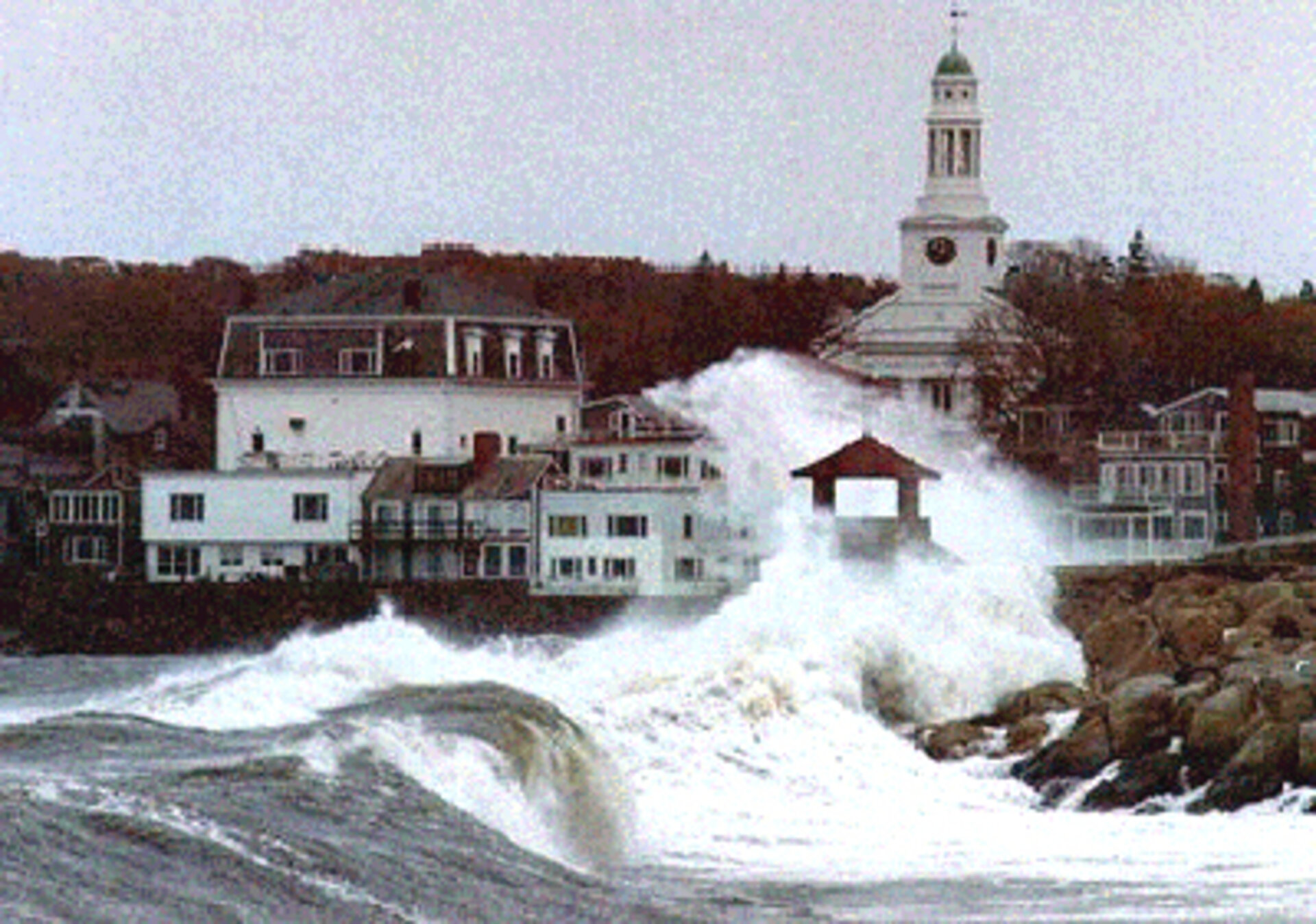
With waves and currents driven by the interaction of the wind, it is an inherently unpredictable and often violent zone: an average of three ships displacing more than 500 tonnes are sunk each week.
Watching the waves
But using data from space, the conditions across the global sea surface can be mapped, and forecast operationally for the first time. Radar instruments are very sensitive to the roughness and height of the ocean surface, as well wave height and ocean.
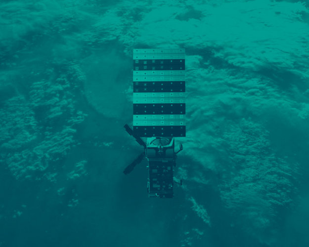
Envisat's Advanced Synthetic Aperture Radar (ASAR) instrument's wave mode was set to measure the change in radar backscatter across a narrow 5-km swath, permitting an accurate gauge of sea surface behaviour.
Following on from similar instruments aboard ESA's ERS missions, a radar scatterometer aboard ESA's MetOp weather satellite series will gauge ocean wind speed and direction.

Envisat's RA-2 Radar Altimeter-2 (RA-2) was designed to send 2000 radar pulses seaward every second, and the journey time of reflected pulses enabled average wave height to be calculated.
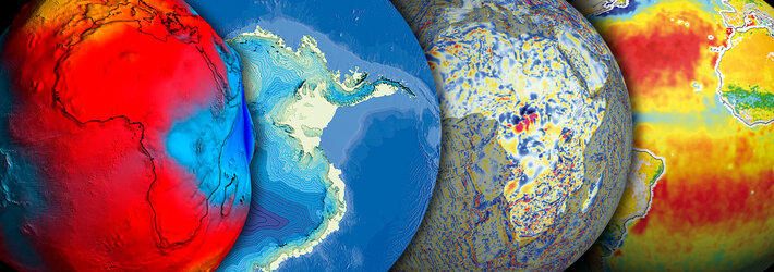
The decade-long archive of wind and wave data already gathered by ERS and Envisat enables increased understanding of the process of energy transfer between the ocean and atmosphere, to improve future climate models. It also enables objective investigation of the possibility that maximum wave heights are actually increasing due to global warming.

Storm warning
Satellites can overfly the ten or so major cyclonic depressions found on the Earth's surface at any one time, the areas where major marine storms and hurricanes are born.
At the same time as radar instruments show circulating wind and waves, optical instruments can visualise the water vaporising to form clouds within these depressions.
As well as providing early warning of storms to come, satellites are providing an objective record of evidence to validate the suggestion that global warming may lead to a greater number of heat-driven cyclonic storms in future.
Waves within waves
As well as stormy surface waves, the undersea world experiences its own kind of rough water. Internal waves with heights of up to 50 metres and wavelengths of more than a kilometre can occur at the boundaries of different water layers.
There may be no visible sign on the surface but marine life - as well as oil drilling or submarine operations – can be disrupted. But satellite instruments can detect clues to the movement of internal waves contained within the smaller waves on the surface.