Campaign over ice sheets tests Aeolus technology
In a recent airborne campaign, carried out by the German Aerospace Center DLR, the sophisticated lidar technology due to be employed on ESA's Aeolus mission was tested by measuring the strong icy winds that blow off the Greenland and Iceland ice fields.
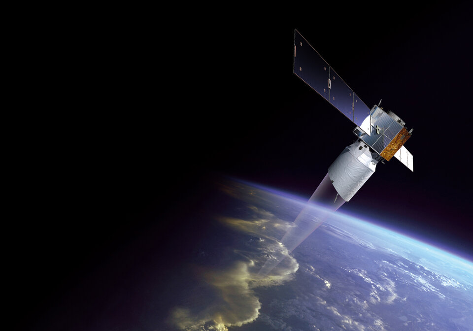
ESA's Earth Explorer ADM-Aeolus will be the first space mission to directly measure wind profiles on a global scale. By doing so, the mission will improve the accuracy of weather forecasts and advance our understanding of atmospheric dynamics and processes relevant to climate variability – therefore, contributing to our understanding of the Earth system.
Probing Earth's atmosphere from space to measure wind profiles involves very challenging and innovative technology that utilises a phenomenon called 'light scattering' and the Doppler effect. Aeolus will carry a lidar instrument called 'Aladin', short for Atmospheric Laser Doppler Instrument, which transmits and receives light.
It works by emitting short powerful bursts of light from a laser and as the light pulse travels through the atmosphere, it interacts with molecules of gas, particles of dust and droplets of water. Since some of the light is 'backscattered' to the instrument, it is possible to work out the distance of the 'scatterers' by differencing the time between sending and receiving the light. The Doppler effect is then used to measure the frequency shift of the returned light to derive the velocity of the wind in the direction of the light pulse.

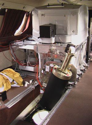
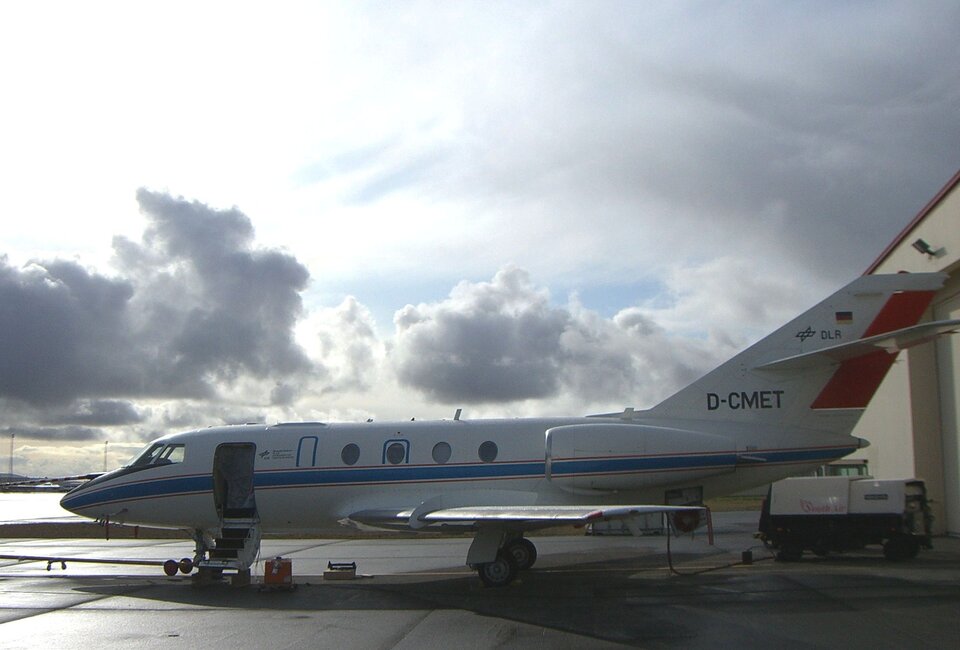
Before this advanced instrument is ready for operation in space, it has to be thoroughly tested. The testing programme includes the development and operation of an instrument similar to Aladin, but works from an aircraft instead of a satellite. Accordingly, the Aladin Airborne Demonstrator, referred to as the 'A2D', was developed and has been used in a series of test campaigns carried out by DLR on behalf of ESA. The campaigns also involved a large suite of complementary instruments to validate the wind measurements taken by the A2D. The last campaign in the current series recently took place just south of the Arctic Circle.
The two-week campaign included six flights over Iceland, Greenland and the northern Atlantic Ocean in-between. This northerly location, where the weather can be severe, is perfect for meteorological experiments. Moreover, the glacier on Iceland and the huge Greenland ice sheet are key in generating localised strong winds – ideal for testing the calibration and data processing for the Aeolus mission.
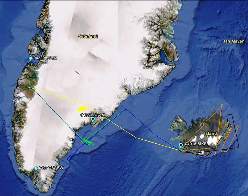
Two different lidar instruments – the A2D and a wind lidar operating at a different wavelength – were installed on DLR's Falcon 20E aircraft. Both instruments worked well throughout the campaign and some excellent measurements of strong 'katabatic' winds blowing off the Greenland plateau and over the North Atlantic Ocean were made. Katabatic winds are narrow, strong winds that carry cold air down the steep mountain sides and out over the ocean causing large ocean waves.
"The weather conditions were excellent and we could obtain measurements of high wind speeds in the jet stream, as well as strong katabatic winds flowing down the Greenland ice sheet. Both wind lidar instruments performed very well and we could achieve the ambitious objectives for the campaign. It was the first time that the Aladin calibration strategy has been tested, which is a crucial component of the mission. The team was very excited by the first quick look at the data," said Oliver Reitebuch from DLR.
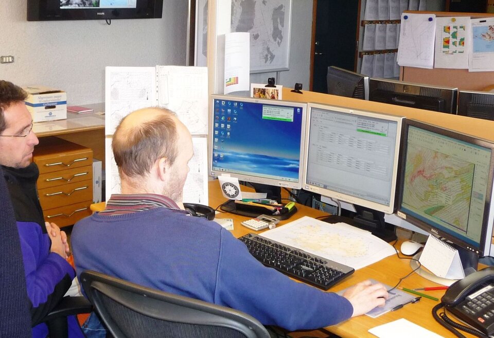
The results of the campaign are currently being analysed, but are expected to mark a significant milestone in furthering ESA's wind mission.