Two radar eyes are better than one
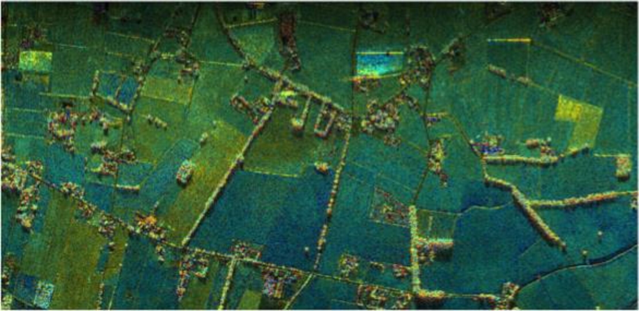
A novel airborne experiment over the flat agricultural landscape of the Netherlands recently simulated, for the first time, images that could be taken by radar satellites orbiting in tandem.
Involving two aircraft flying in very close formation with each carrying a radar instrument, this first flight is part of a larger campaign in Belgium next month.
Carried out by the Dutch MetaSensing company, the campaign marks the opening of an exciting new way that radar satellites could be used in the future.
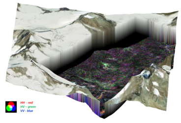
Unlike today’s radar satellites with their single instruments, two satellites in tandem could view Earth’s surface from slightly different positions to offer a unique 3D view of the landscape below.

Christian Barbier from the Centre Spatial de Liege in Belgium explained, “There are many new applications that would benefit from information offered by two satellites working in unison instead of one.
“For instance, we could map the movement of glaciers in 3D, improve crop mapping and even create 3D maps of the world’s forests.
“Our trial next month will give scientists a unique chance to explore these new measurements and show how they can be used to improve agricultural monitoring from space.”
While flying two aircraft sounds relatively straightforward, in practice it is a technical tour-de-force calling for well-trained pilots with strong nerves to fly with very little space between each plane.
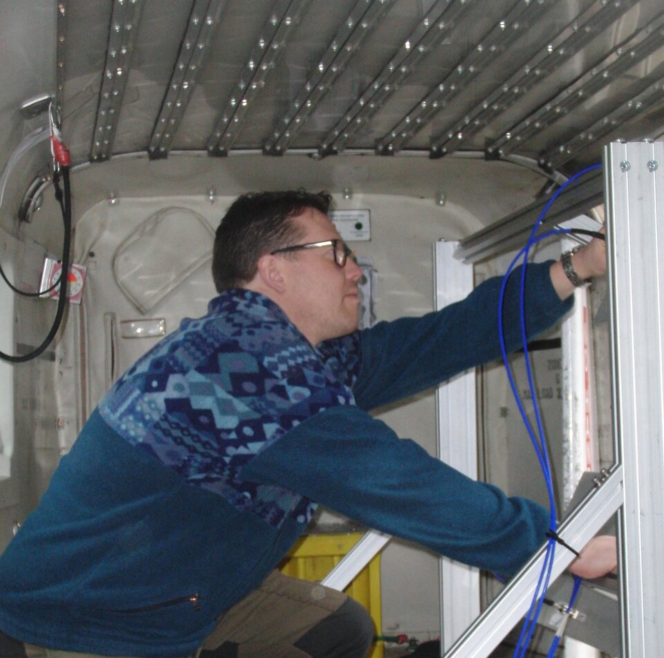
In addition, there’s also the small matter of developing state-of-the-art radar instruments that work together to collect the precious images.
ESA’s Bernardo Carnicero, who works on future technologies, said, “Together with the international science community and industry we have spent the last three years studying how to build, launch and operate radar satellite convoys in space.
“These studies have demonstrated that such convoys are technically feasible and could be built quickly and cost-effectively by pooling satellites and resources with other agencies and partners.”