Shifting land won't stop your journey
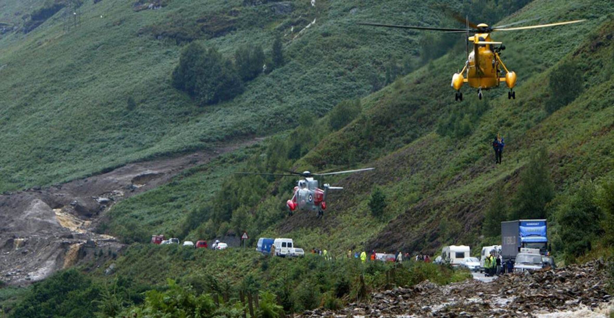
Subsidence, rockfalls and landslides threaten potentially devastating human and economic consequences across Europe – but satellites can help.
Traditional monitoring such as photographic mapping to measure changes in the landscape works well for specific locations but is labour intensive and costly. Now, ESA has looked at using satellites to watch for hazards across broad areas that could affect road and rail networks.
The outcome is so promising that the resulting monitoring services continue to be developed by the companies involved in the two projects.
The services rely on a triple space alliance of satellite radar images , combined with satnav using satcoms to relay in-situ observations to a central system for analysing ground motion around road and rail networks.

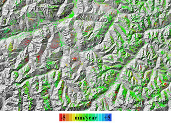
One promising approach is to use maps produced from radar satellites to identify potentially hazardous slopes, followed by repeat monitoring at ground level.
By taking regular observations, displacements across large areas can be measured with millimetre accuracy. Any sudden changes in motion indicate a potentially high-risk situation and invite closer scrutiny.
“There is no single way of solving the problem of monitoring natural hazards,” says ESA’s Rob Postema, “but these two projects demonstrate how combining techniques results in a powerful toolset for tackling a whole range of geological challenges.”
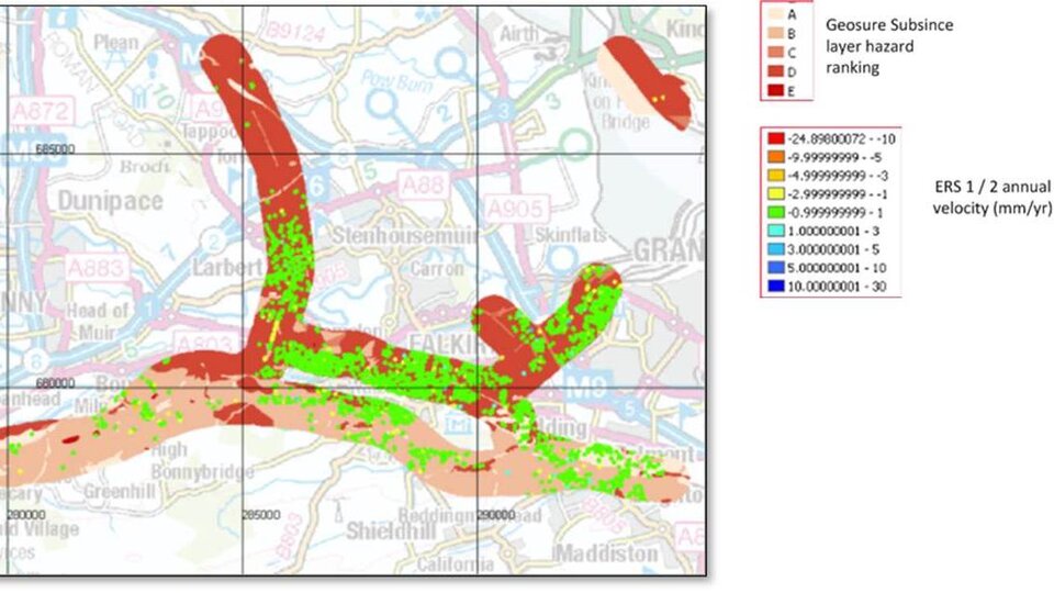
The Live Land study led by CGI in the UK, looked at how to combine information from satellite radar scans, geology and weather forecasts to come up with risk maps that give enough warning to reduce the disruption and cost associated with landslide and subsidence on selected roads and railways in Scotland.
For example, an area of steep slopes and wet soil that is expecting heavy rainfall is at a higher risk of a landslide – and this would be highlighted in the maps.
Similarly, the Matist project, led by Gamma Remote Sensing and Consulting in Switzerland, combined satellite and terrestrial radar information and satnav to follow ground movements in the mountainous regions of Switzerland and Austria – notably covering the dense rail networks and Austria’s main road network.
These studies used existing Earth observation data but Europe’s Sentinel satellites will become a valuable resource once they come online.
Rob Postema notes: “In coming years, I expect to see a great many more innovative applications that make use of satellite data and capabilities, such as Earth observation and satellite navigation for keeping a watchful eye on phenomena of ground motion and the associated risks.”