Applications
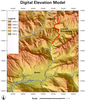
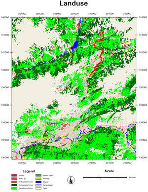
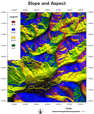
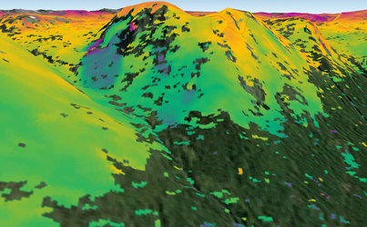
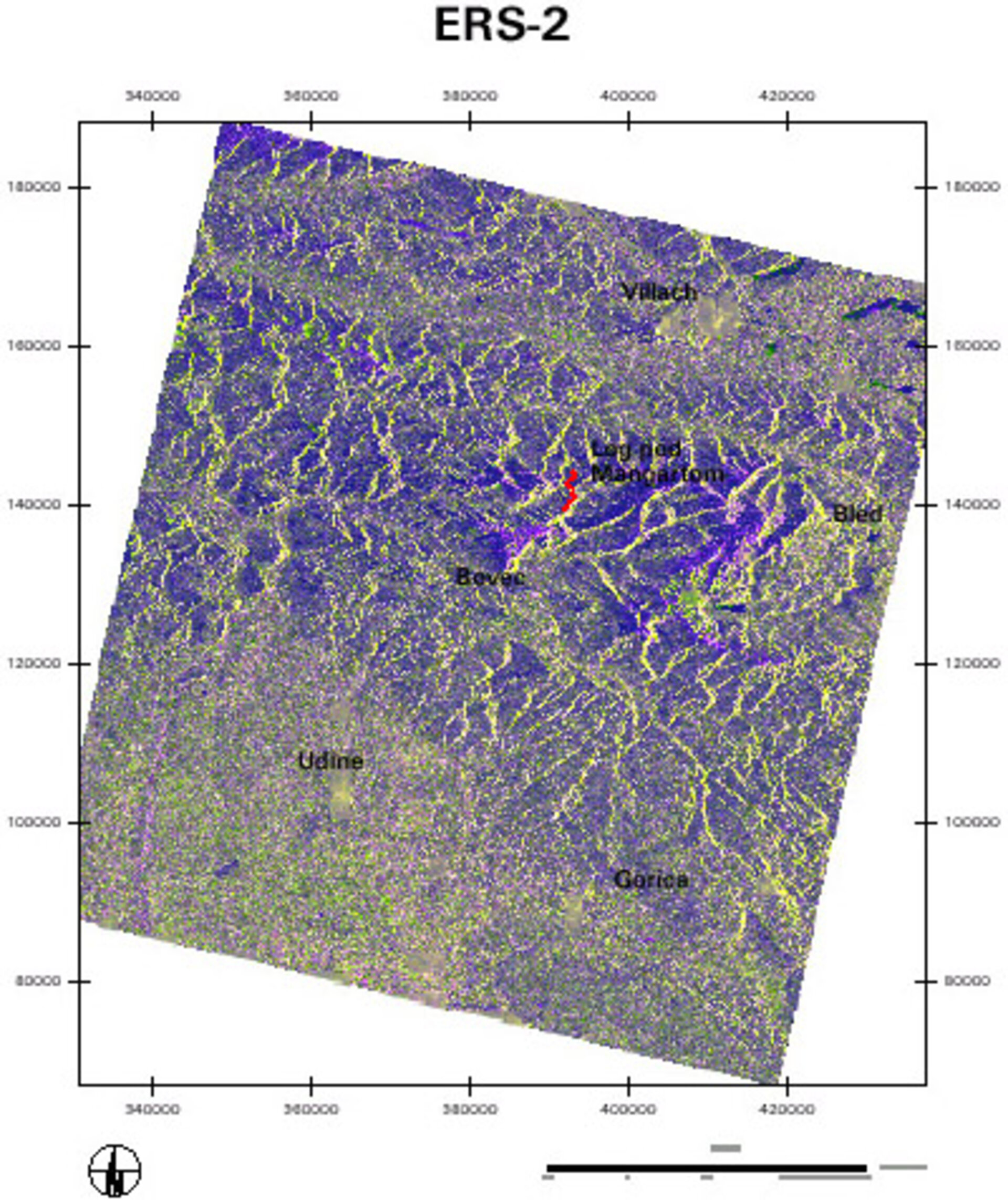
Landslide in Slovenia - Multitemporal ERS-2 satellite image set
Images were acquired on November 24th, 2000, November 5th, 1998, and their differences are shown as red, green and blue respectively. Landslide position and damage area are shown as vector overlays.
Processing and map production Scientific Research Centre of the
Slovenian Academy of Sciences and Arts Copyright (c) 2001 by SRC SASA, original data by ESA.