Applications
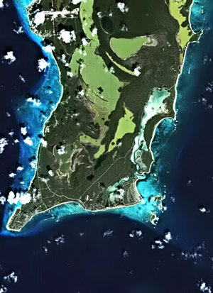
SPOT-1 image of San Salvador
SPOT-1 image of San Salvador, 16 January 2001.
Image obtained by superimposing SPOT data gathered before and after the earthquake. The image covers a surface of 10 X 10 km. This enables to identify the extent of the damage caused to the city’s infrastructures (identified in purple).
Courtesy of Cnes.