Agency
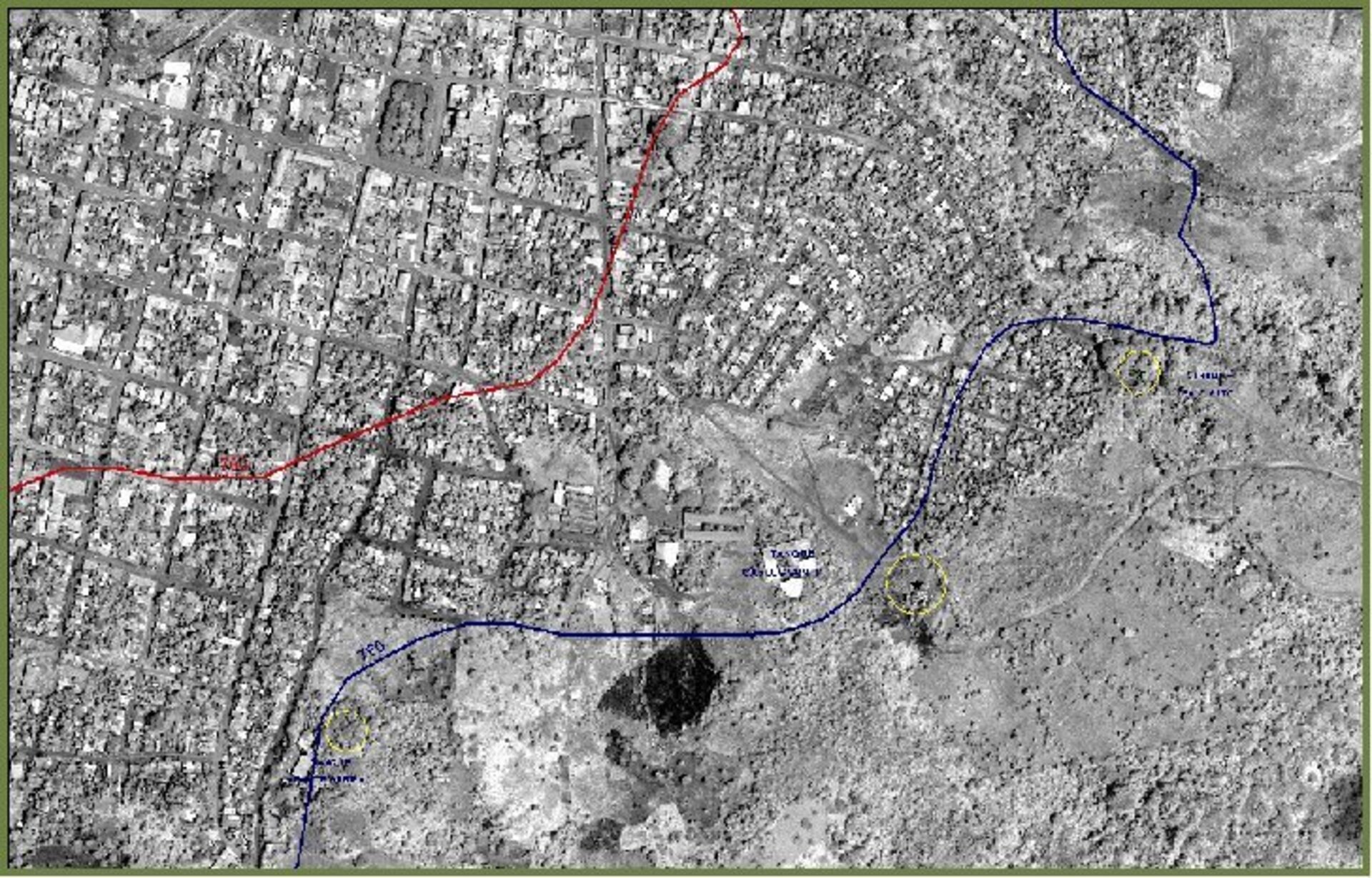
A high-res satellite image of Matagalpa, showing the limits of the local water supply
A satellite image of Matagalpa in Nicaragua imported into UNOSAT-provided geographical information system (GIS) software. It has been overlaid with a blue line that shows the edge of the urban area, and a red line illustrating the extent of the local water supply. Those living in the zone inbetween the two lines have no piped water available, and therefore at increased risk of ill-health, information of use to local development workers.
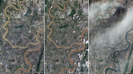
Drought causes Yangtze to shrink

Morocco earthquake damage assessment map from the UN…
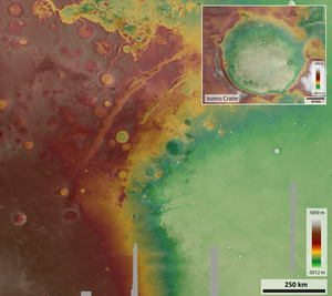
Topographic map of Jezero crater and surrounds
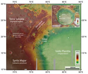
Topographic map of Jezero crater and surrounds (annotated)