Agency
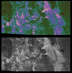
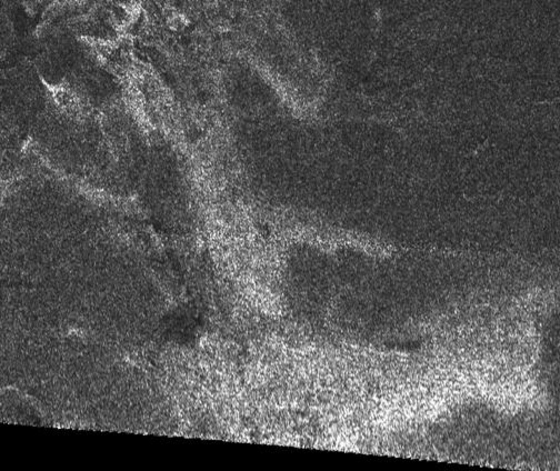
Radar image of Titan's surface
This synthetic aperture radar image of the surface of Saturn's moon Titan was taken on 26 October 2004, when the Cassini-Huygens spacecraft flew approximately 2500 kilometres above the surface and acquired radar data for the first time.
The image covers an area about 150 kilometres square, and is centred at about 45 degrees north, 30 degrees west in the northern hemisphere of Titan, over a region that has not yet been imaged optically. The smallest details seen on the image are around one kilometre across. Features are less clear at the bottom of the image where the viewing was less favourable. A faint horizontal seam between the radar beams can be seen half way up in this image.