Applications
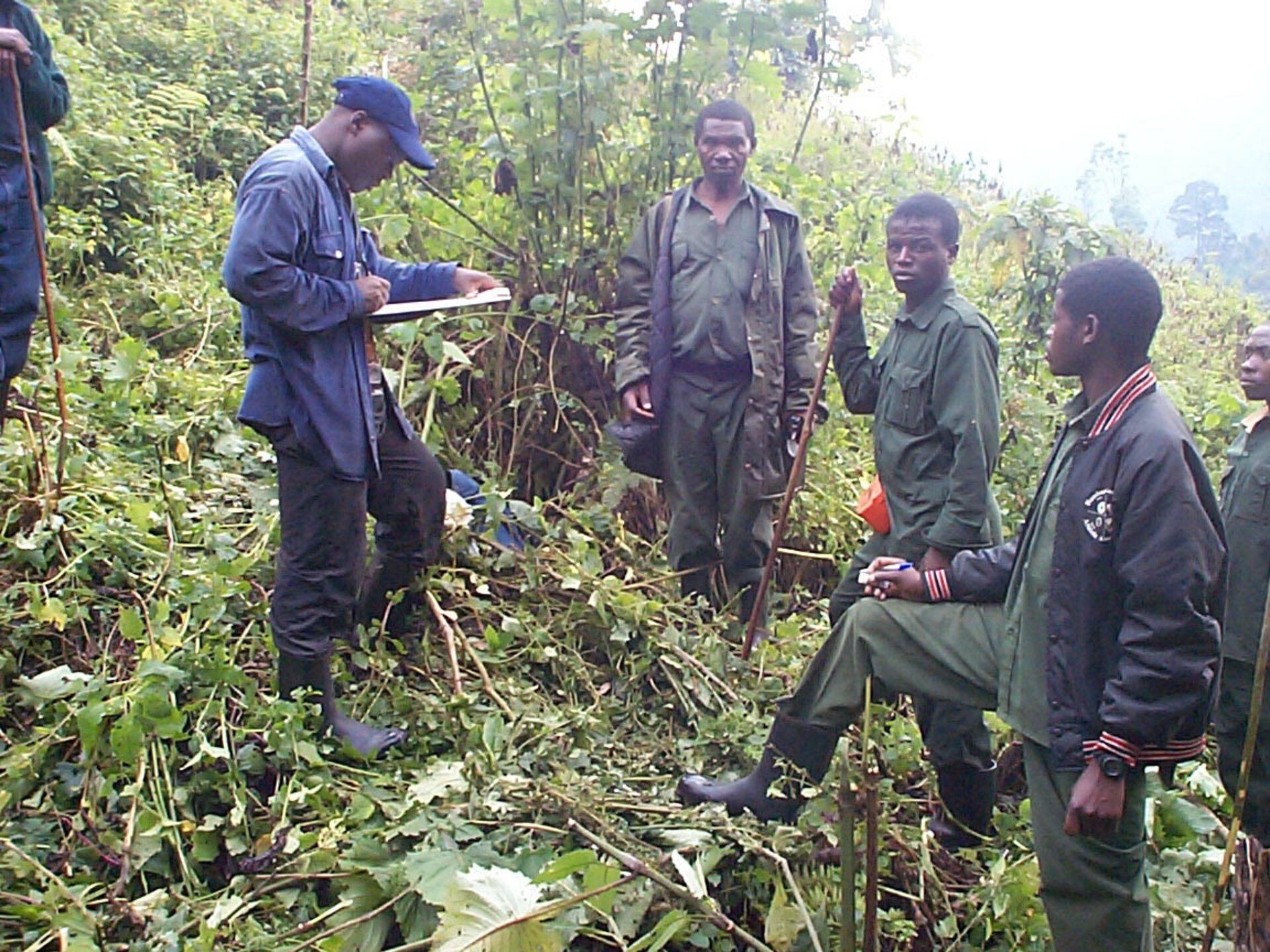
Conservation workers recording gorilla nests
Conservation workers recording gorilla nests. Positioning information gathered with handheld GPS devices during fieldwork can be inputted into the new BEGo geo-information system (GIS) software layers for later analysis.