Agency
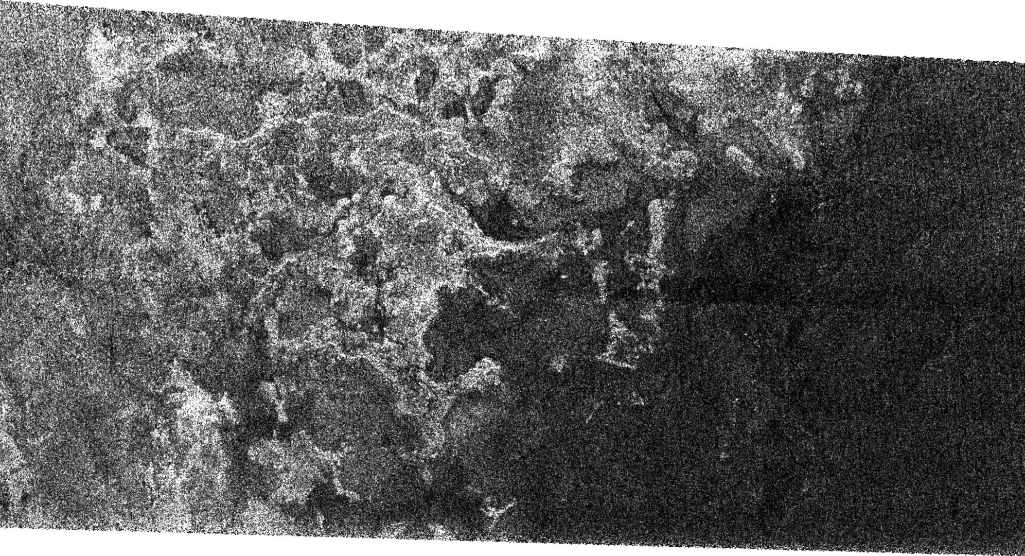
Possible shoreline on Titan?
This Synthetic Aperture Radar image of the surface of Saturn's moon Titan was obtained by the NASA/ESA/ASI Cassini spacecraft on 7 September 2005. The bright, rough region on the left side of the image seems to be topographically high terrain that is cut by channels and bays.
The boundary of the bright (rough) region and the dark (smooth) region appears to be a shoreline. The patterns in the dark area indicate that it may once have been flooded, with the liquid having at least partially receded.
The image is 175 kilometres high and 330 kilometres wide, and is located at 66 degrees South, 356 degrees West in the southern hemisphere of Titan.
The Cassini-Huygens mission is a cooperative project of NASA, the European