Agency
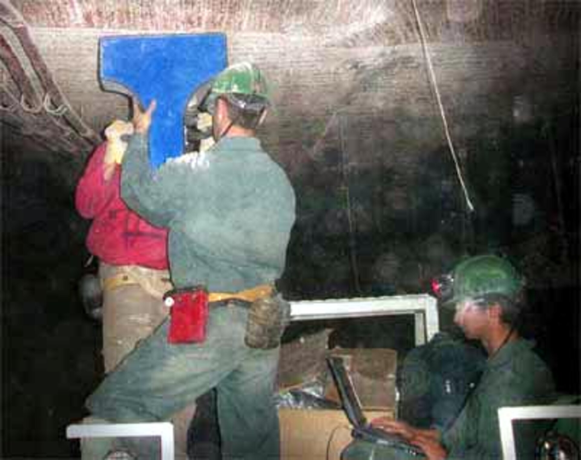
Space radar spots weakness in tunnels
This image shows CRIS (Crack Identification System) at work in a tunnel in a Canadian mine during a recent test campaign. It uses the ground penetration radar technology originally developed by ESA to investigate soil structures on other planets. A special antenna has been developed and allows a 3-D representation of the stone surface identifying the location of crack location and depth from several millimetres to a depth of more than one metre below surface.