Agency
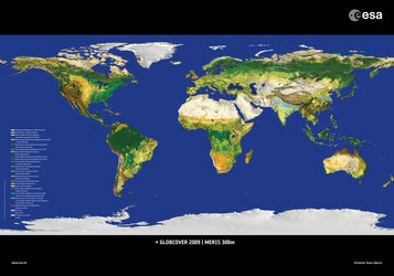
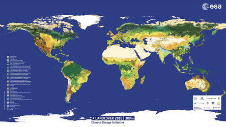
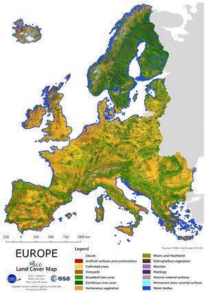
Land cover classification
Land cover classification for the Lower Athabasca oil sands region, developed using ESA's Envisat data, acquired on 25 June 2006 with its optical instrument, Medium Resolution Imaging Spectrometer (MERIS).
Land cover classification for the Lower Athabasca oil sands region, developed using ESA's Envisat data, acquired on 25 June 2006 with its optical instrument, Medium Resolution Imaging Spectrometer (MERIS).