Agency
MetaSensing-google_overlay
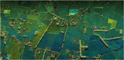
MetaSensing radar images can be directly displayed using standard geographical software such as Google Earth
MetaSensing radar images can be directly displayed using standard geographical software such as Google Earth