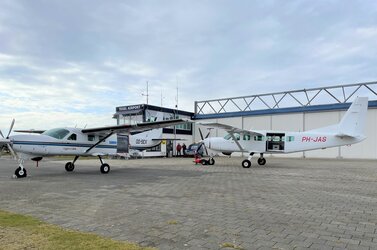
Agency
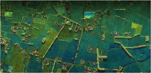
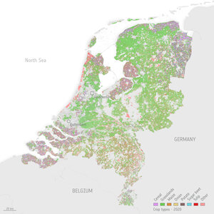
MetaSensing's radar maps agricultural crop
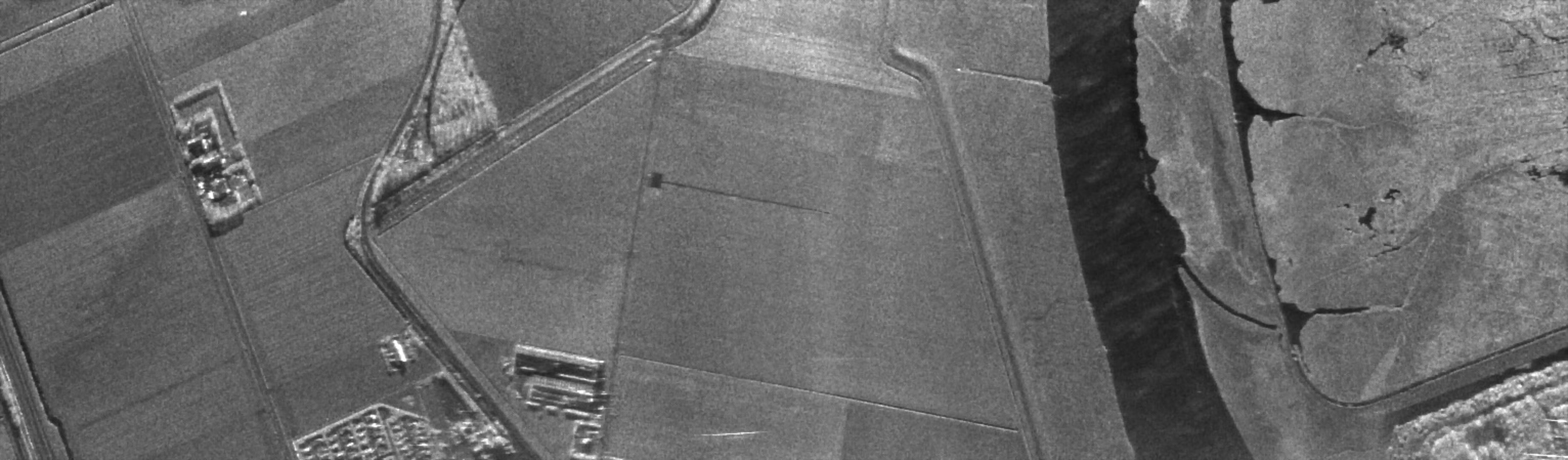
MetaSensing radar images are also used for monitoring water currents, agricultural crop mapping, and soil moisture content identification
MetaSensing radar images are also used for monitoring water currents, agricultural crop mapping, and soil moisture content identification