Science & Exploration
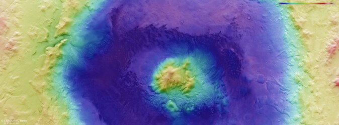
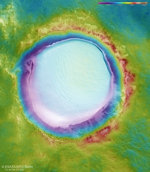
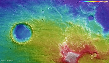
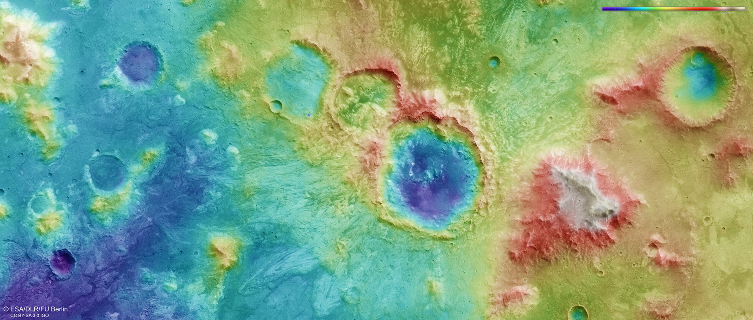
Topography of a cratered region on Mars
This image shows the relative heights of a cratered region north of the Hellas Basin on Mars. As indicated in the key at top right, whites and browns/reds represent the highest terrain, while blue/purple is the lowest.
The colour-coded topographic view is based on a digital terrain model of the region, from which the topography of the landscape can be derived.
The region was imaged on 3 May 2017 during Mars Express orbit 16890. The ground resolution is approximately 21 m/pixel and the images are centred on 70°E/22°S. In this orientation, north is to the right.