Agency
GSTP's OSIRIS project tracks ships and oil spills
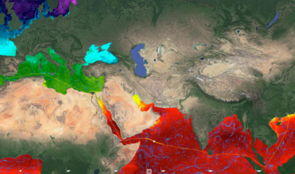
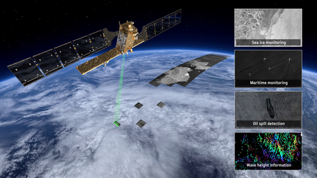
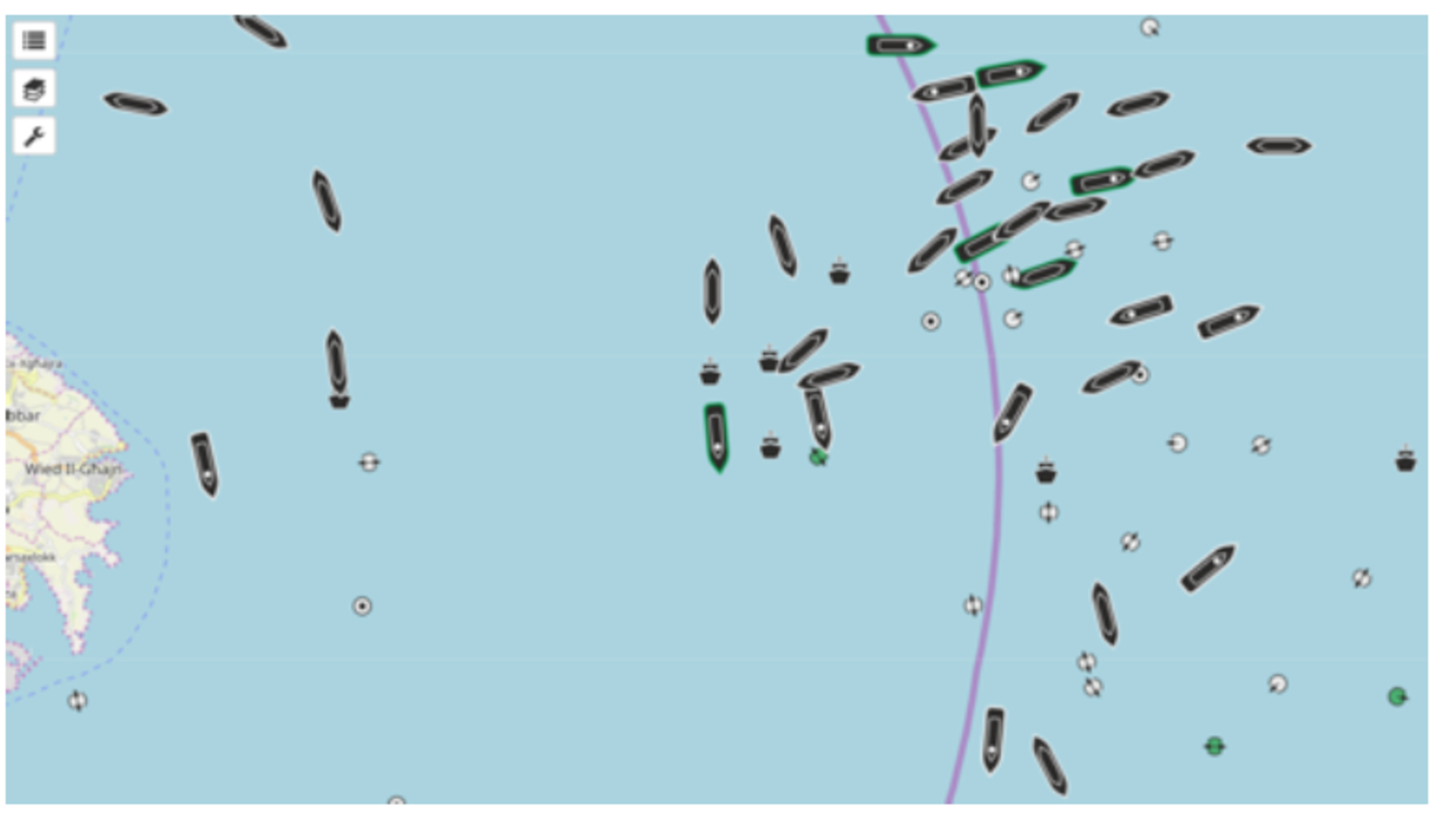
A GSTP project with four Italian contractors has prototyped a tool to allow coast guards and authorities to track ships and oil spills in the Mediterreanean through radar and AIS data.
The project, OSIRIS, was to develop, implement and integrate tools for Earth Observation Maritime Surveillance and turn them into an open source platform, allowing those who accessed it the ability to identify and track ships and boats, or in some cases events such as oil spills.
The developed prototype is modular and easily configurable and can use various types of data from SAR and optical radar data to AIS information which can relay the identity of different boats.