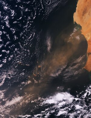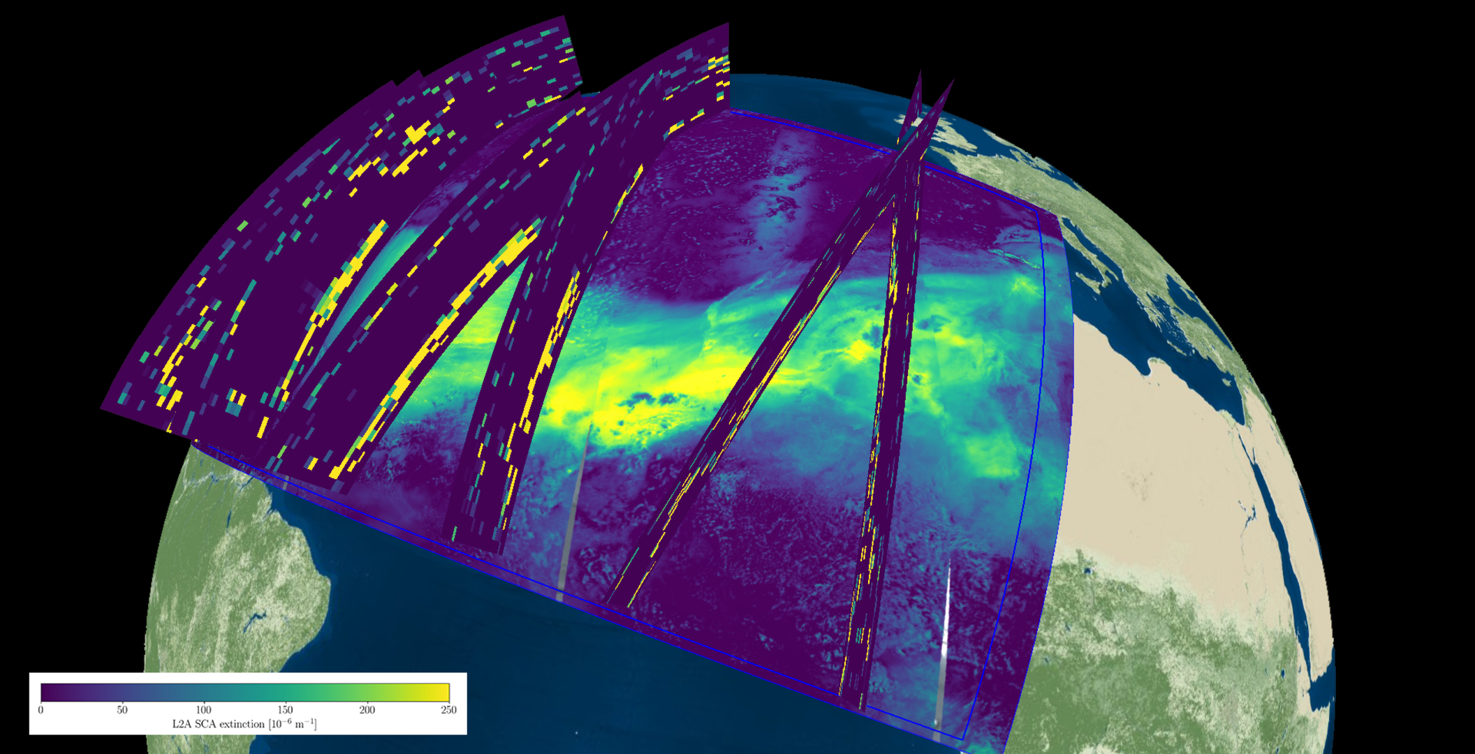
Desert dust plume over the Atlantic observed by Aeolus and Sentinel-5P
The composite image below shows combined observations from the Aeolus satellite and the Copernicus Sentinel-5P satellite on 19 June 2020. The underlying Sentinel-5P aerosol index in florescent yellow and green, which indicates the extent of the elevated Saharan dust plume over the Atlantic, has been overlaid with information from Aeolus’ aerosol and cloud data. In yellow, parts of the laser light are scattered and absorbed by the Saharan dust.
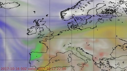
Aeolus data provides valuable information regarding the altitude and vertical extent of the aerosol layer, compared to downward-looking imagers, as it can determine the height at which the dust layer is travelling. Aeolus data in this image indicates that most of the dust was 3—6 km above the ground.
These data are extremely important for air quality models used by, for example, the Copernicus Atmosphere Monitoring Service, to predict how far the dust layer will travel and how it develops, and therefore, the effects it will have locally.
Read full story: Satellites track unusual Saharan dust plume