Pay-as-you-go motoring just around the corner
Death and taxes may be unavoidable, but road tolls and car insurance could be made fairer if satellite-assisted distance pricing is implemented.
The European Space Agency (ESA) is funding Irish provider of location technology products Mapflow to undertake a feasibility study to look into the possibility of implementing a pan-European road tolling system. The research aims to establish whether satellite technology can be used to calculate the cost of motoring.
A plan exists to complement this activity with a real demonstration of the virtual tolling concept in the greater area of Lisbon. Also under ESA funding, the project is being conducted by the Portuguese company Skysoft in close cooperation with the Portuguese motorway authority. The demonstration is planned for the end of 2004.
In April this year the European Commission published a proposal that all vehicles should pay road tolls electronically, with full implementation foreseen for 2010. Under the proposal, all vehicles will carry a ‘black box’, which will be tracked by satellites relaying information on the distance travelled by the vehicle, the class of road travelled and the time at which the journey was made.

The research commissioned by ESA on behalf of the European Union will evaluate the feasibility of a standard tolling approach throughout Europe. The study will look at the effects of such a system on Europe’s road infrastructure as well as associated technology impacts.
Potential benefits of a harmonised road tolling system would be fairer implementation of charging on a 'pay for use' basis, lower costs as the need for physical infrastructure is reduced and also reduced congestion.
Germany recently received EU approval to implement a new tolling system for goods vehicles. The system – currently being tested – uses the US-operated Global Positioning System (GPS). The government hopes to raise 650 million euros a year through the new charges.
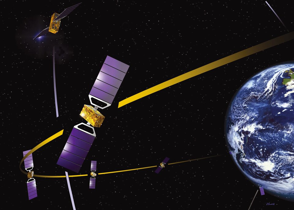
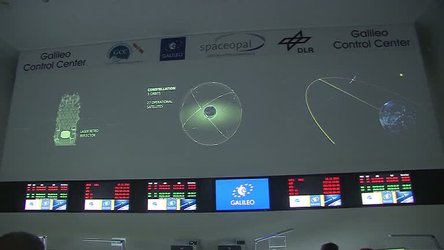
Satellite-assisted tolling would make use of Galileo, Europe’s planned satellite navigation system. Galileo is a joint initiative between the European Commission and ESA to develop a global navigation system, scheduled to be operational by 2008.
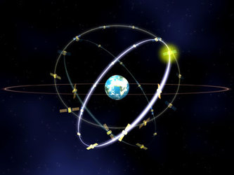
The system will have a constellation of 30 satellites revolving in three circular medium earth orbits, approximately 24 000 km above the earth. This will create a network covering the entire globe, relayed at ground level by stations monitoring the satellites and the quality of their signals.
Once operational, Galileo will provide a highly accurate, guaranteed global positioning service under civilian control. It will be interoperable with other global satellite navigation systems, such as GPS while providing far greater accuracy, down to two metres. Other applications for Galileo in the transport sector include vehicle location, taxi and lorry fleet management and monitoring levels of road use.