ESA confirms CryoSat recovery mission
ESA PR 08-2006. At the latest meeting of the European Space Agency's Earth Observation Programme Board, which took place at ESA’s Headquarters in Paris on 23 and 24 February, ESA received the green light from its Member States to build and launch a CryoSat recovery mission, CryoSat-2.
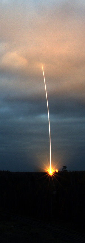
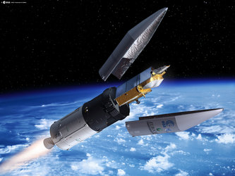
The launch of the CryoSat spacecraft was unfortunately aborted on 8 October 2005 due to a malfunction of its Rockot launcher, which resulted in the total loss of the spacecraft.
"This decision is very important, as the scientific community in Europe and elsewhere is eagerly awaiting resumption of the CryoSat mission. We are happy to have obtained approval today", said Volker Liebig, ESA Director of Earth observation programmes.
A CryoSat recovery plan was presented to the Programme Board by ESA’s Executive, which explained the status of ongoing activities and outlined the preparatory work leading to a CryoSat-2 mission, expected to be launched in March 2009.

CryoSat-2 will have the same mission objectives as the original CryoSat mission; it will monitor the thickness of land ice and sea ice and help explain the connection between the melting of the polar ice and the rise in sea levels and how this is contributing to climate change.
The positive decision on CryoSat-2 will allow rational use to be made of the technical and industrial competences for the original mission, as well as best use of the ground segment facilities and operational setup planned for that first mission. It means that the pre-launch scientific validation campaigns over land ice and sea ice can resume with the support of national institutes.
Notes for editors
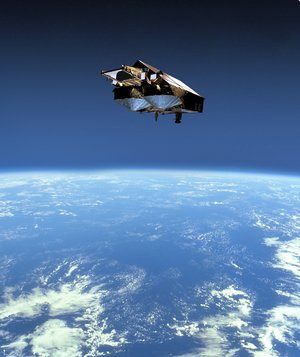
The CryoSat spacecraft will carry out a three-year mission dedicated to very precisely monitoring changes in the elevation and thickness of polar ice sheets and floating sea ice. It will orbit at an unusually high inclination, reaching latitudes of 88° North and South.
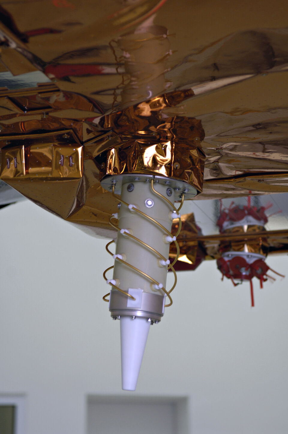
CryoSat's main instrument, the SAR/Interferometric Radar Altimeter (SIRAL), is based on the heritage of existing instruments, but with several major enhancements designed to overcome the difficulties intrinsic to the accurate measurement of ice surfaces. One of the two antennas will send out radar signals, while both antennas then detect signal echoes from the Earth's surface.
By knowing the position of the spacecraft to a very high accuracy – achieved with an onboard ranging instrument called a Doppler Orbitography and Radiopositioning Integrated by Satellite (DORIS) receiver supplemented by a laser retro-reflector system – the signal return time will reveal the surface altitude. Correct antenna orientation is also vital and will be maintained using a trio of star trackers.
In the past, radar altimeters could deliver data only over the sea and large-scale homogeneous ice surfaces, but SIRAL's new design means that detailed views of irregular sloping edges of land ice, as well as non-homogenous ocean ice, can also be obtained.
For further information please contact:
ESA Media Relations Division
Tel: +33 01 53 69 7155
Fax: +33 01 53 69 7690