

Enhancing satnav for Arctic voyagers
Melting sea ice means that parts of the Arctic are becoming increasingly ice-free, allowing ships to travel between Northern Europe and Asia through the Arctic ocean. This reduces journey times, but the routes are remote and moving ice can make the trip dangerous. An ESA-led study recently investigated how satellites can help ships navigate safely through the Arctic.
Estimates suggest that within just a few decades, the Arctic Ocean could be almost completely free of sea ice in summer. This spells bad news for sea levels, global temperature rise, and Arctic ice dwellers, but it could provide an opportunity for the shipping industry.
When ships can move through the Arctic Ocean, the time required to travel between Europe and parts of Asia and North America’s west coast is significantly reduced, diminishing fuel usage and associated emissions. Not only is this good for the environment, it also lowers operational costs – potentially leading to reduced prices for customers.
But travelling through the Arctic Ocean is dangerous; much of it remains uncharted and ice can cause serious problems for ships. Global Navigation Satellite Systems (GNSS) – for example GPS and Galileo – are supplemented by land-based technology in major coastal areas and ports around the world, but this only provides coverage up to around 200 kilometres from the shore.
Far from land, ships rely on satellites to find their way. The International Maritime Organization recommends that ships can find out their location to within four metres in potentially deadly ice-covered waters, where they need to follow the path of an ice breaker. But GNSS cannot meet these levels of accuracy and the systems can also make mistakes.
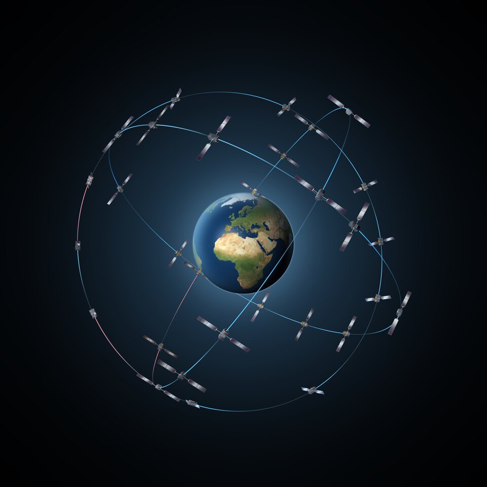
At lower latitudes, global navigation systems are enhanced using geostationary satellites that stay above one point on Earth's equator. They provide extra information that complements the GNSS data. But looking down from above the equator, Arctic waters are not visible to geostationary satellites, and therefore navigation augmentation can't be supported in this area.
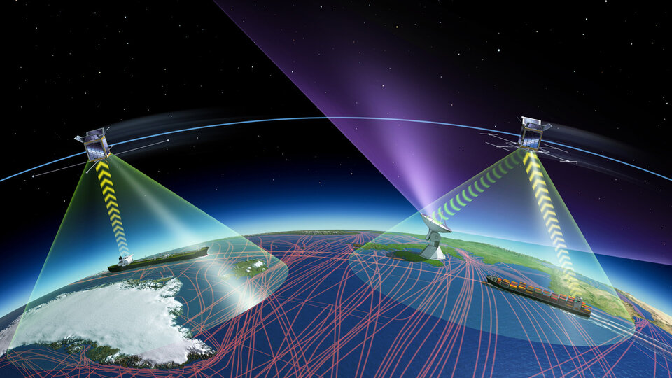
So ESA's Discovery & Preparation programme recently supported a study that investigated how to improve navigation for ships sailing through the Arctic to increase safety and efficiency. The project, called AMNAS, explored a new way of using satellites to broadcast navigation augmentation messages to ships so that they could correct their trajectories. The study was led by Kongsberg Seatex with vital inputs from Space Norway and the General Lighthouse Authorities of the United Kingdom & Ireland.
"Several possibilities have been explored to support GNSS in the Arctic, but we focused on using satellites in low-Earth orbit, that can fly close over Earth’s poles,” explains Nader Alagha from ESA's Technology, Engineering and Quality directorate who oversaw the study. "These would supply extra information to supplement the GNSS data."
In the past, ships and ground stations mostly communicated using analogue radio waves with a specific range of frequencies that are especially allocated to maritime communications. Recently, more and more of these frequencies have been used for digital communications which improves efficiency and reliability.
"It has been agreed internationally to use the same frequencies to communicate with ships digitally in a new system called VDES," explains project leader Stig Erik Christiansen from Kongsberg Seatex. "That means that ships will already have the necessary infrastructure on board to receive signals at these frequencies, so we could use similar frequencies for the proposed supplementary data from the low-Earth orbit satellites."

Nader concludes: "The availability of a supplementary navigation service for Arctic waters could have significant economic impact for shipping and global trade, especially as parts of the Arctic are expected to become navigable all year round by the middle of this century."
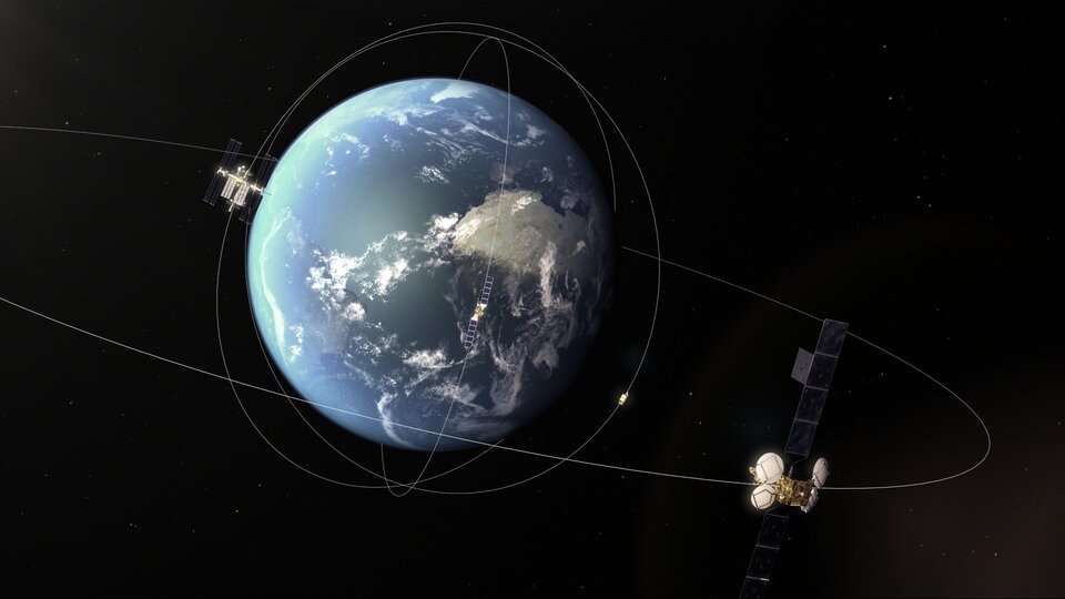
Based on this Discovery & Preparation study, the team are now working to demonstrate their technique using low-Earth orbit satellite NORSAT-2. This mission pre-demonstration is being carried out with ESA's General Support Technology Programme.
