
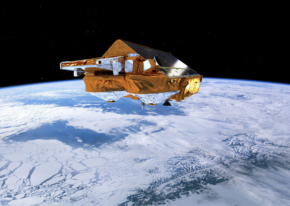
Verifying satellite operations from frozen ground
Satellites allow us access to places on the planet that are difficult to reach and measure otherwise. But satellite measurements alone are not enough. They must be verified in a process known as groundtruthing, or ground verification. For the icy CryoSat mission, that meant sending expeditions out across the ice.
The CryoSat signal is sensitive to changes in the properties of the snow and ice, so before its measurements began, it was important to understand, and then correct for, the seasonal changes that occur naturally. Knowing what typically happens allows scientists to recognise long-term changes due to climate change and determine them with the highest possible accuracy.
To ensure that the data delivered by CryoSat is as accurate as possible, numerous ground and airborne campaign activities were carried out in the Arctic.
In 2004, scientists camped out in the Arctic in an important validation campaign. Spending anything between two weeks and two months camped on the ice sheets they collected data to help the CryoSat to make more accurate measurements of the changes in ice thickness and mass balance. Ground activities included travelling by skidoo across the vast icy expanses with GPS instruments to measure surface topography, digging snow pits to assess the effects of layering below the surface on the CryoSat signal and so-called 'coffee can' measurements to determine ice density and depth.
The ground experiments were carried out in remote, and sometimes inhospitable, areas on some of the main ice sheets in the north of Canada, Greenland and Norway. In addition, an aircraft managed by the Alfred Wegener Institute (AWI) in Germany, carried out surveys over each of the in-situ sites using both the ESA radar-altimeter ASIRAS, to simulate CryoSat measurements, and a laser scanner to support the interpretation of the radar measurements. Additional laser measurements were also taken from an Air Greenland plane managed by KMS of Denmark. This plane, equipped with skis so that it was capable of landing on snow and ice, also supported the ground crews in Greenland.
In 2005, the Pole Track team made a 1000km trek across the Arctic in support of a range of science experiments. Led by the Dutch professional explorer Marc Cornelissen, the adventurers were driven by a desire to help scientific understanding of the Arctic. They travelled from Cape Arctichesky, the northernmost part of Russia, and made a two-month journey to the North Pole on a route covering a region known as a 'white spot' from which no recent data had been retrieved. Their tasks included setting up weather stations and measuring snow depth and density on a daily basis.
Less than two years later, the Arctic Arc Expedition by Belgian explorers, Alain Hubert and Dixie Dansercoer, 'stepped' onto the sea ice off the coast of Siberia on the 1 March 2007 each pulling a 130-kg sledge holding supplies and equipment. They also measured snow depths at regular intervals to help to calibrate CryoSat. Meanwhile, the CryoVex 2007 campaign, was working in the extreme north of Svalbard making measurements of snow and ice properties along long transects that criss-cross the ice sheet surface. High winds, low temperatures and equipment failure were among the challenges faced by these explorers as they worked to transform our understanding of the Arctic environment.
