
Catching the world in a box
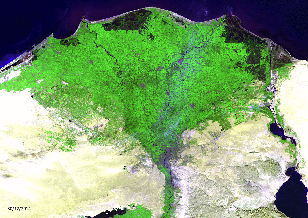
The rapid evolution of Egypt’s Nile Delta over the last four years, as viewed from ESA’s Proba-V microsatellite. Think of it as a small token of our love for planet Earth: just a cubic metre in size, Proba-V maps land cover and vegetation growth across the entire world every two days.

Launched on 7 May 2013, the mission’s continent-spanning 2250 km field of view collects light in the blue, red, near-infrared and mid-infrared wavebands, ideal for monitoring plant and forest growth as well as inland water bodies. Its imager has 300 m spatial resolution, increasing to 100 m within its central view.
The ‘V’ in Proba-V stands for Vegetation. This miniaturised mission serves to extend the dataset of the long-established Vegetation instrument, which flew as a secondary payload aboard France’s Spot-4 and Spot-5 satellites launched in 1998 and 2002 respectively.
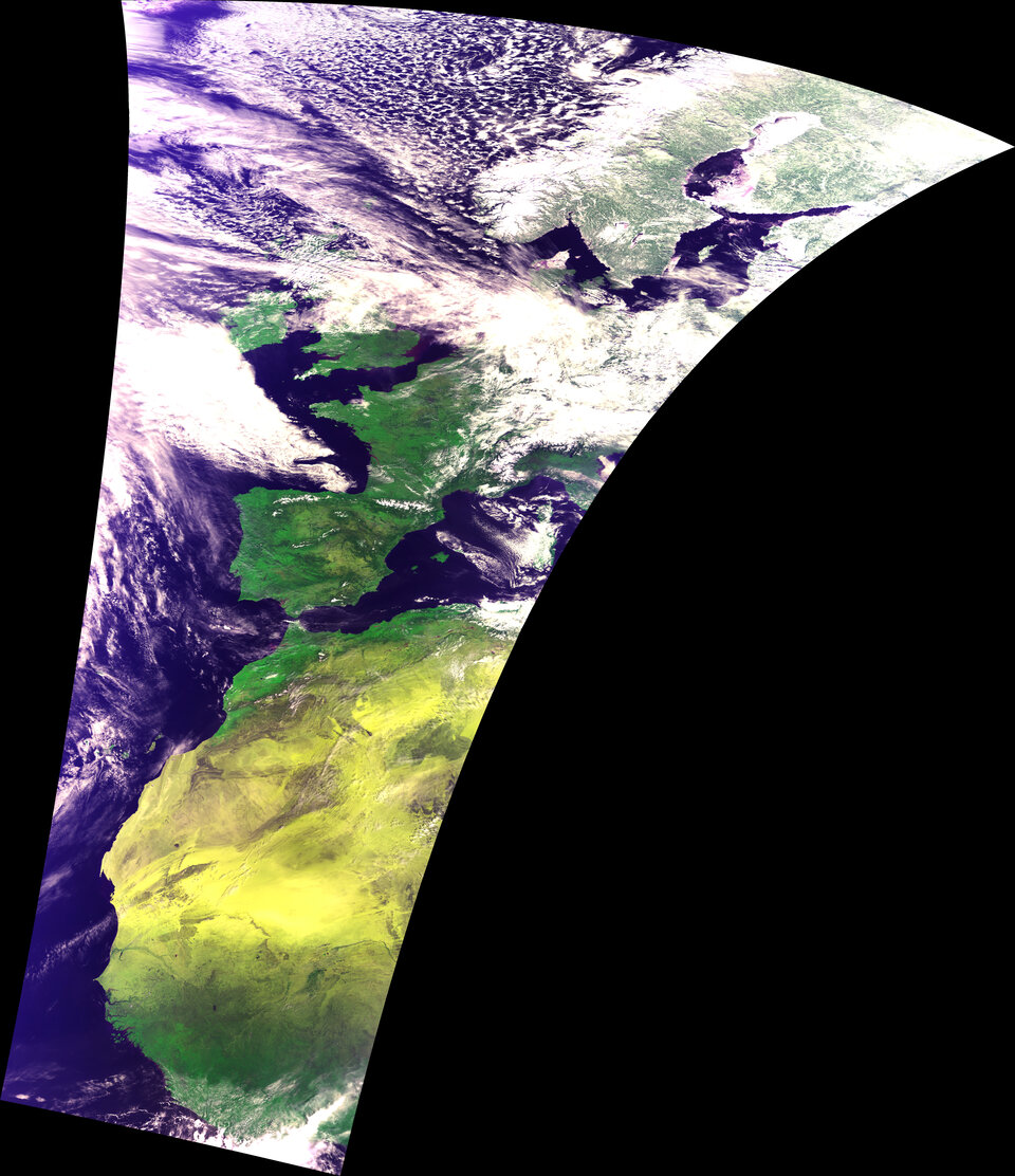
VITO Remote Sensing in Belgium processes and then distributes Proba-V data to users worldwide. With more than five years of Proba-V imagery now collected, VITO has created a new 2019 image calendar with a set of before-and-after comparisons to highlight the dynamic nature of our home planet.
Proba-V data is freely available to everyone. The new Mission Exploitation Platform offers on-demand processing power allowing users to create time-series comparisons and animations.

