SMOS results
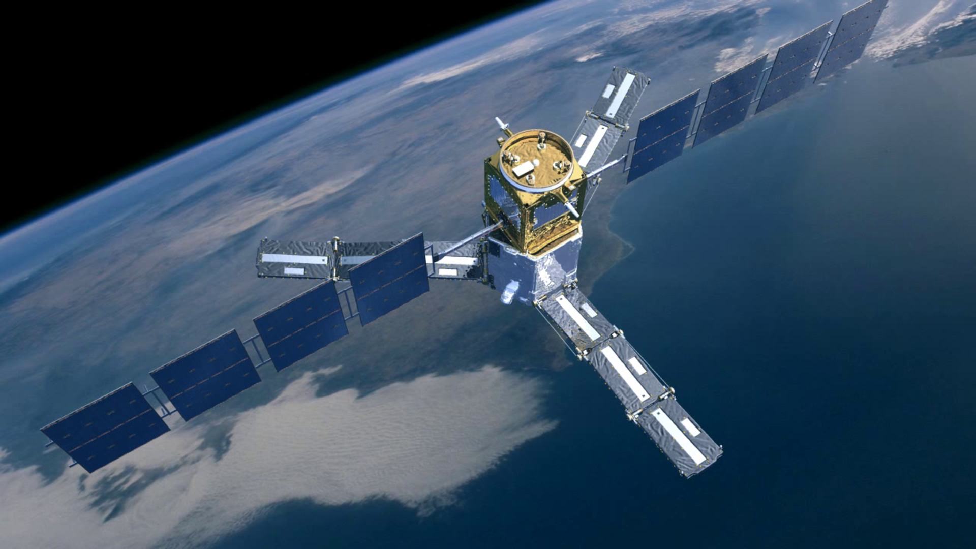
Over the past three years, ESA’s Soil Moisture and Ocean Salinity (SMOS) satellite has mapped Earth’s wet and dry soils, helping us to understand the water cycle and supporting water resource management. Global ocean salinity data from SMOS has given us new insight into how rivers and runoff from land are dispersed by ocean currents. Surpassing expectations, SMOS data are also being used to monitor Arctic sea ice extent and thickness, providing daily coverage of the Arctic Ocean. In addition, the satellite can track hurricanes, such as last year’s Hurricane Sandy that devastated parts of the US east coast.