
Monitoring the Health of the Lagoon of Venice From the Space Station
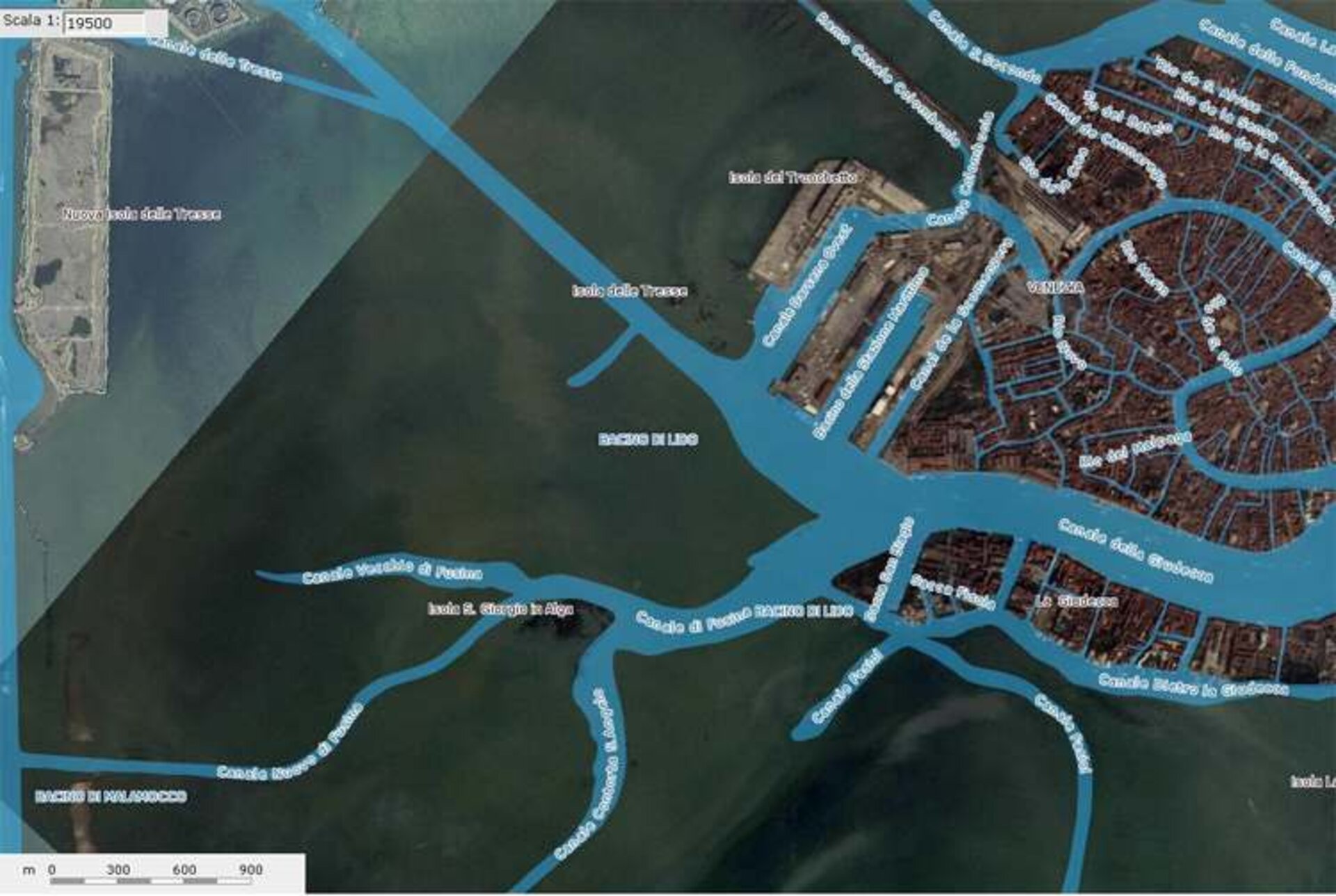
The City of Venice, Italy, is known for its architecture, history, romance, and, of course, the canals that serve as major thoroughfares through the urban area. The canals and bridges are the human overprint on the Lagoon of Venice, a marshy body of water along the Adriatic Sea that contains the 117 islands upon which the city is built. In addition to forming the base of the city of Venice, the Lagoon is a critical part of the Mediterranean wetlands ecosystem, recognized by international treaty as a Ramsar site.
Like many coastal regions, the Lagoon of Venice, together with the city of Venice and the environmentally sensitive wetlands, is subsiding into the Adriatic Sea, creating flood risks for Venice and major damage to the wetlands. Careful mapping of the Lagoon is critical to mitigating damage to the people and environment.
In 2010, astronaut photographs of the Lagoon taken from the International Space Station caught the eye of Dr. Alessandro Mulazzani, an environmental consultant working with the Atlante della laguna (Atlas of the Lagoon) project (http://www.silvenezia.it/). The Atlas is a web-based Geographic Information System (GIS) that provides a wealth of information on the climate, ecosystem, hydrology, and human impacts to the Lagoon. Mulazzani characterized the value of high-resolution astronaut photography to the Atlas: “These photographs are very useful for us to provide an up-to-date view of this unique environment, the Lagoon of Venice, especially for general public and students…”
This interest developed into an ongoing collaboration with the Crew Earth Observations, or CEO, team at NASA’s Johnson Space Center and resulted in the Lagoon of Venice becoming an official CEO site for continued astronaut photography. The CEO team uses the most up-to-date station orbital information to predict when particular ground sites will be visible to the crew. These target predictions are then screened for adequate lighting, acceptable degrees of cloud cover, and the availability of the crew to take imagery. Ground sites that pass through these various filters are provided to the station crew members as targets for imaging using the cameras aboard the station. Following successful acquisition of imagery for a requested target, the images are cataloged and added to the Gateway to Astronaut Photography of Earth online database and become freely available to the international public. For formal collaborations, such as the Lagoon of Venice, notification of new imagery can also be sent to designed investigators.
The use of handheld digital camera imagery from the station can help fill the gaps in time series of robotic satellite data as well as provide imagery taken from different viewing perspectives and ground resolutions. This broad range of performance is a unique advantage of the station as a remote sensing platform and particularly highlights the advantage of having a human-operated remote sensing capability in addition to the more traditional autonomous systems. In the case of the Lagoon of Venice, having human eyes watching for unexpected opportunities to collect data may help ensure the health of this wetland for generations to come.
William L. Stefanov
Science Applications, Research and Development Department, Jacobs
