
DLR carries out mountain campaign for Aeolus
As part of the preparatory activities for the Aeolus mission, the German Aerospace Centre DLR performed a campaign on Germany’s highest mountain, the Zugspitze. The clean mountain air was needed to provide the right conditions to investigate what effects the atmosphere would have on the return signal of the satellite's core instrument.
ESA's Aeolus mission will be the first space mission to measure wind profiles on a global scale. By doing so, the mission will improve the accuracy of numerical weather forecasting and advance our understanding of atmospheric dynamics and processes relevant to climate variability. Aeolus is planned for launch in 2011.
In order to probe Earth's atmosphere from space to measure wind, Aeolus will carry a sophisticated instrument that utilises a phenomenon called 'light scattering' and the Doppler Effect to acquire data. The innovative instrument is called ALADIN, short for Atmospheric Laser Doppler Instrument.
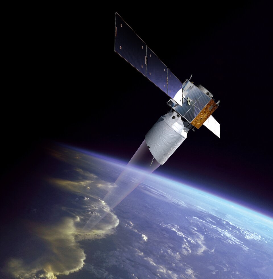
ALADIN is a lidar, which is similar to radar but transmits and receives light instead of radiowaves. Short, but powerful, pulses of light are emitted from a laser down into Earth's atmosphere. As the light pulse passes through the atmosphere it interacts with molecules of gas, particles of dust and droplets of water. This results in some of the light being returned or 'backscattered' to the instrument. The Doppler Effect is then used to measure the change in wavelength between the emitted light and scattered light, which is a function of the velocity of the wind in the direction of the light pulse.
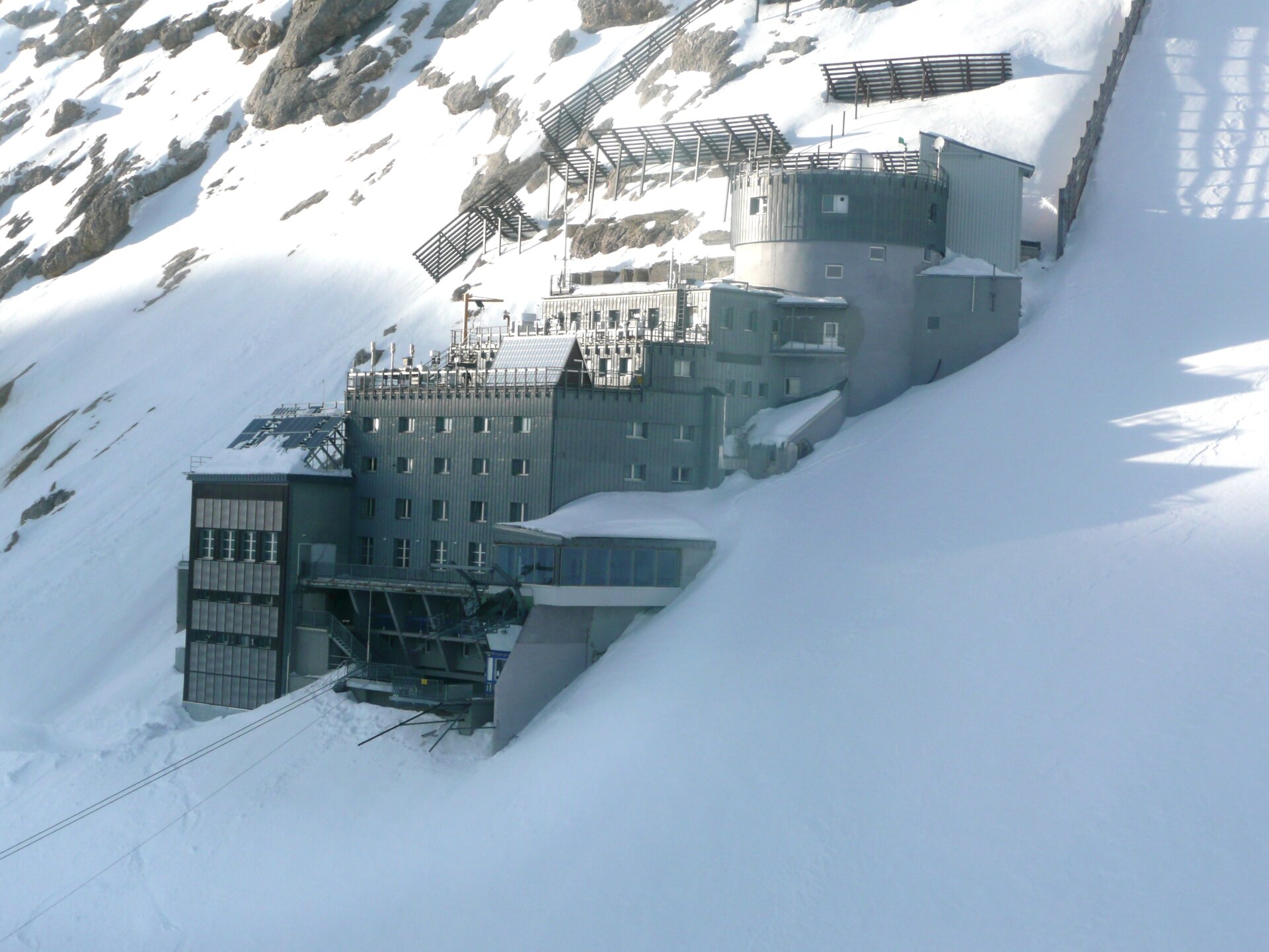
As part of the preparatory activities, the campaign, held on Germany's highest mountain, aimed to accurately measure the spectrum of the backscattered laser light from a lidar to further improve the measurements of wind speed. The experiments were carried out by DLR at the Environmental Research Station Schneefernerhaus observatory, which is situated 2650 meters above sea level. The science measurements were done with the ALADIN Airborne Demonstrator (A2D). The A2D is used in the Aeolus pre-launch flight campaign activities, and was built to prove the Aeolus lidar measurement concept.
In addition to the A2D atmospheric lidar measurements, in-situ measurements of aerosol concentrations were taken by the German Environmental Agency. The University of Cologne also provided microwave radiometer temperature measurements. Other data that were collected for the campaign were routine radiosonde data from a near-by meteorological station and atmospheric parameters measured at the Schneefernerhaus. The campaign took place between January and March this year.
The measurements performed by DLR are complementary to - and in close cooperation with - an on-going ESA activity where the spectral shape of backscattered laser light in atmospheric gases and air are being accurately determined in controlled laboratory experiments. The ESA activity is performed by the Free University of Amsterdam, the University of Nijmegen and the University of Eindhoven, the Netherlands.
The results from both these activities are expected to provide new in-sight in the physics of light scattering and to further improve atmospheric data products from ground-based and satellite-based lidar missions, such as Aeolus and EarthCARE.
