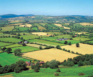
Agriculture
Even though food production has doubled over the last 30 years, it will have to double yet again by 2025 if it is to feed an expected population of 8.5 billion. From recent statistics this seems unlikely, as in 2000 world agricultural production grew by only 1%, the lowest since the early 1990s.
For agricultural production to increase, a number of factors need to be in place. These include a healthy environment and sound agricultural planning. A healthy environment entails reducing soil erosion caused by wind, water and over cropping; protecting finite water resources; and reducing atmospheric pollution, such as the acid rain that affects crops and forests. Equally important is making the best use of agricultural land. This requires planning, assessing land suitability and productivity, and generating different scenarios of land use to establish which is the most appropriate in particular circumstances.
Envisat data can help in a number of ways. Satellite observation is a cost-effective method of producing the digital terrain models - over which land cover information is then draped - that are essential for efficient land management, monitoring and planning. Envisat can also accurately map areas for which little information exists, either because of their remote location or because frequent cloud coverage makes aerial coverage difficult.
By combining information from the ASAR, AATSR and MERIS instruments on board Envisat it is possible to map vegetation and land use; distinguish between crops, grassland, deserts, trees, lakes and rivers; and even to identify when crops were planted and how they are developing.

This information has many uses, some of which still have to be fully exploited. In the EU for instance, Envisat data will be used to help collect statistics on crop yields and production, and also to monitor the implementation of the Common Agricultural Policy. Envisat’s careful watch over the Earth's ecosystems will also help farmers, as they need a healthy environment if they are to sustainably increase agricultural production.
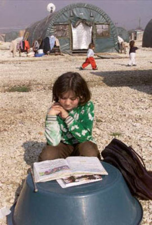
A further benefit is the Envisat climate data. Information on air humidity and soil moisture, as well as the quantity and the seasonal variation of precipitation, is extremely useful for agriculturalists. Envisat data will also monitor the effects of climate change on agriculture and help to predict droughts, harvests and potential crop damage such as the arrival of swarms of locusts - all valuable information for governments and relief organisations trying to estimate food-aid requirements in areas at risk.
Clearly no one single action can increase agricultural production as all the many factors involved need to be taken into account. This is why Envisat is so valuable; the continuous 24-hour supply of data from all the instruments on board will help thematic experts and remote sensing specialists to build crop intelligence systems aimed at supporting renewable resources management.