Earth observation moves closer to the risk business
Earth-observing satellites can map natural phenomena such as floods and earthquakes, track hurricanes and monitor land subsidence across the globe. This information can be valuable to insurance companies for risk and damage assessment.
Information obtained by satellite observations can save money and make the insurance industry more efficient.
As the insurance industry confronts new challenges – like dealing with climate change – it is likely that Earth observation will become increasingly important to improve existing risk assessment processes.
Satellite data can be used to create elevation models and map a given area’s proximity to rivers and other bodies of water to evaluate the flood potential.
Weather-monitoring satellites can show severe weather conditions like heavy rain or hail, which can be useful for damage evaluation in agricultural areas.
With instruments that monitor forest cover, precipitation and temperature development, satellites can even help to assess the potential risk of forest fires close to built-up areas.
But the use of satellite observations is still in the early stages of being adopted by the insurance industry.
Members of space and insurance industries – including insurers, reinsurers, brokers, risk modellers and data providers – came together last month in the first meeting of its kind to discuss current Earth observation capabilities and the evolving information requirements within the insurance and reinsurance industries.
One of ESA’s main objectives is to support the development of innovative services within the European and Canadian value-adding industry.

The workshop was co-organised by ESA, the European Association of Remote Sensing Companies, reinsurer Swiss Re and insurance brokers Willis and Lloyds, and was held at ESA’s ESRIN centre in Frascati, Italy.
“Earth observation information can be used by insurers and reinsurers to enhance existing risk assessment processes. Better understanding of risk contributes to a resilient and sustainable business,” said Fiona Shaw, Executive Director of Willis Analytics in London.
The workshop identified a series of measures that can be taken within the insurance industry and Earth observation service providers to consolidate and expand the use of remote sensing across the sector.
These measures include new business models to better address the issue of commercial sustainability; simplified licensing schemes for Earth observation-derived products; and the development of new innovative Earth observation products and services.
The full set of observations and recommendations will be released in the forthcoming workshop report.
Parallel working groups addressed the contribution that Earth observation-derived information might provide in assisting insurers, reinsurers, brokers and catastrophe modellers with business decisions during the major stages of catastrophe risk management.
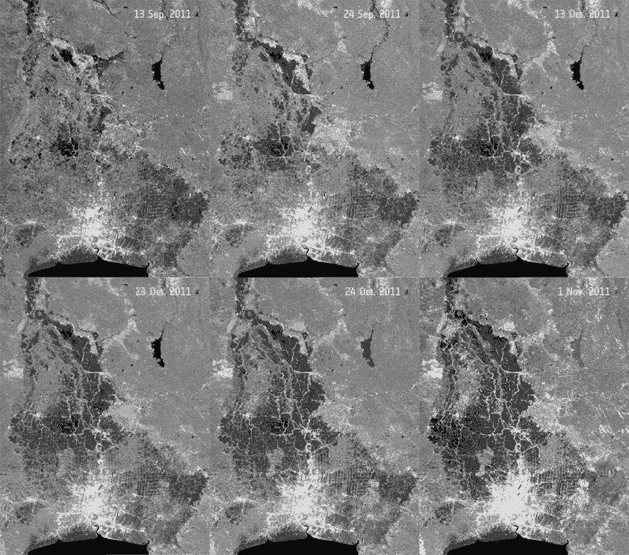
One example is the need for daily updated flood extent information during a major plain flood event. This information can provide the insurance industry with a more accurate first estimate of their potential loss.
“Swiss Re sees high business potential in the integration of Earth observation-based flood extents as an accepted parameter for risk transfer products,” said Jens Mehlhorn, head of the Swiss Re flood unit in Zurich.
“My expectation is that we will see the first use of Earth observation information in parametric risk transfer solutions in the next 12 months.”


