Aiming to bring GMES more into the public eye
The early stage of realising a complex initiative clearly focuses on the technical and functional aspects of the programme. Now that GMES is well on the way to becoming operational, it is time to consider how it can be brought more into the public eye.
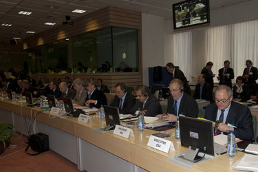
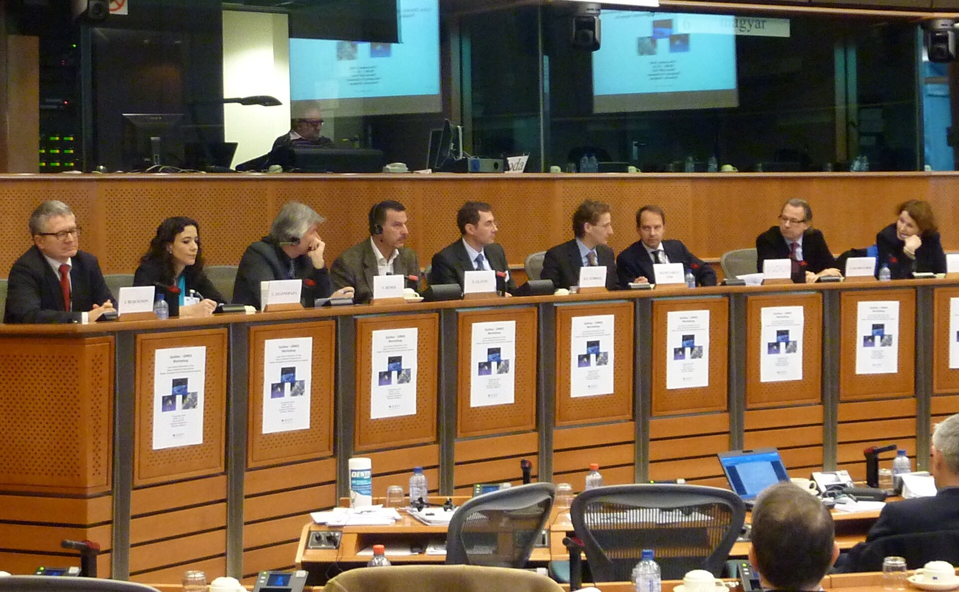
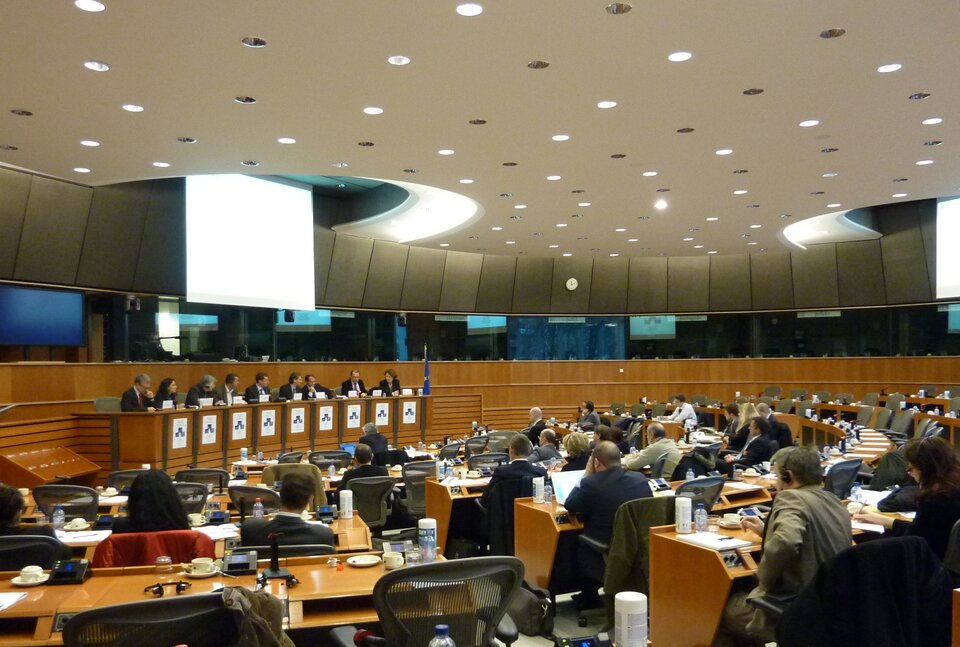
To this end, a workshop, organised by the European Space Policy Institute, was held at the European Parliament in Brussels, Belgium, at the end of last year. The workshop was dedicated to the public perception and international relations of the Global Monitoring for Environment and Security (GMES) programme and the global positioning Galileo satellite system – Europe's two flagship satellite programmes.
Attendees included members of the European Parliament, European Commission, the European GNSS Agency and ESA.
In light of Europe's current economic challenges, it is important that the public and governments perceive these programmes to be of value. The workshop allowed participants to brainstorm ways in which the benefits of these programmes can be communicated to politicians and the public at large.
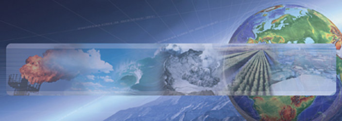
With respect to GMES, the benefits the programme will bring to every day life are multifaceted. As the most complex and ambitious Earth observation programme to date, GMES responds to the global challenges of protecting the environment, understanding and mitigating the effects of climate change and ensuring civil security.
The European Commission (EC) heads the GMES programme overall. The European Space Agency (ESA) is responsible for the GMES Space Component and the European Environment Agency (EEA) for the In-situ Component. Through these organisations, a ready supply of data from numerous satellites, airborne sensors and ground-based stations are drawn together to provide a comprehensive range of thematic environmental and humanitarian information services.
These services will begin to become operational after the first GMES Sentinel satellites are launched in 2013.
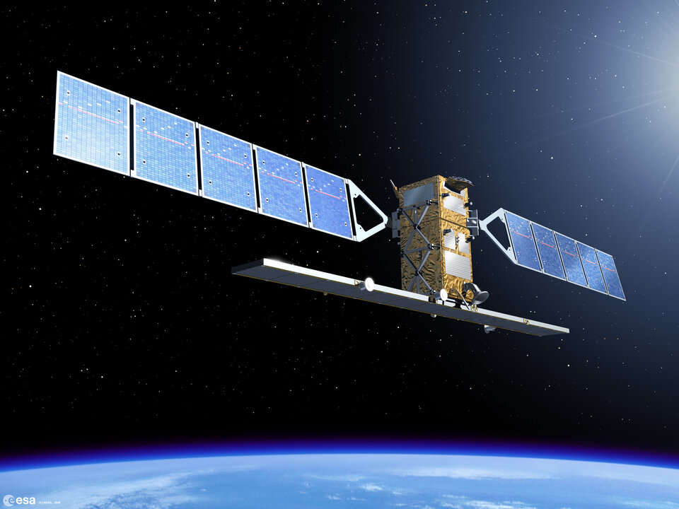
First to launch is Sentinel-1, which will deliver a ready supply of all-weather day-and-night imagery to benefit numerous services. For example, services that relate to the surveillance of the marine environment including oil-spill monitoring and ship detection for maritime security, monitoring land-surface motion risks, mapping of land surface for forest, water and soil management, monitoring of Arctic sea-ice extent and routine sea-ice mapping, as well as mapping in support of humanitarian aid and crisis situations.
In addition, data will be used within the Urban Atlas project, mapping the expansion of urban environments.
Data from five Sentinel missions dedicated to GMES and from more than 30 additional satellite missions contributing to the programme, along with data acquired on the ground and from the air will all be fed into a wide range of user services. This approach is set to make a step change in the way we care for the environment whilst supporting many civil needs.
With most of the GMES infrastructure now in place, the workshop proved to be an excellent platform to exchange and discuss numerous ideas on how to bring the benefits of the programme into the pubic eye.
"GMES is a complex programme," said Josef Aschbacher, Head of ESA's GMES Space Office. "Experts usually tend to speak in a language that is not in tune with that used by decision makers, politicians and the general public.
"Translating this complexity into day-to-day language is something GMES has to improve. After all, every European citizen should benefit from GMES, so we need to make an effort in making the programme and its benefits easily understandable."