ESA starts to make data available for GMES
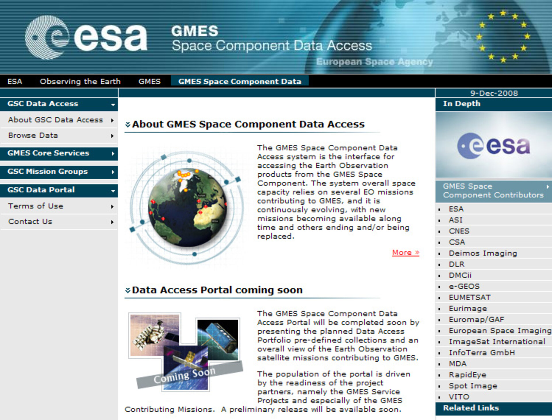
ESA, as coordinator of the Global Monitoring for Environment and Security (GMES) Space Component, has launched a new website through which data for GMES Services can be obtained.
The GMES Space Component Data Access web portal is now providing data from ESA satellites and ESA Third Party Missions. In the next months, data from more than 25 other European and non-European satellites contributing to GMES will be made available. This event marks the start of pre-operations for the GMES Space Component.
The GMES programme is a European Commission-led initiative in partnership with ESA to combine space- and ground-based observations to develop an integrated environmental monitoring capability for the benefit of both Europe and the international community. Through the GMES Space Component, Earth observation data will be provided for services to effectively manage the environment, mitigate the effects of climate change and ensure civil security.
Services provided through GMES currently fall into five Core Service Project categories, which include three fast-track services for land management, the marine environment and services to aid emergency response as well as two pilot service projects focusing on security and atmospheric composition.
The purpose of the new GMES Space Component Data Access web portal is to provide access and advertise those datasets currently available and those that are planned for the GMES Service Projects. Many of the datasets distributed rely on the organisations operating missions contributing to GMES.
In addition to ESA, other GMES Space Component contributors include: the Italian Space Agency (ASI), the French Space Agency (CNES), the Canadian Space Agency (CSA), Spain's Deimos Imaging, the German Aerospace Centre (DLR), Britain's DMC International Imaging (DMCII), Italy’s e-GEOS, the European Organisation for the Exploitation of Meteorological Satellites (EUMETSAT), Eurimage, Euromap/GAF, European Space Imaging, ImageSat International, InfoTerra, MacDonald, Dettwiler and Associates (MDA), RapidEye, Spot Image and VITO.